(00351) 913 988 888

beaches 2

The hundreds of beaches in the Algarve

Algarve Beach Odyssey
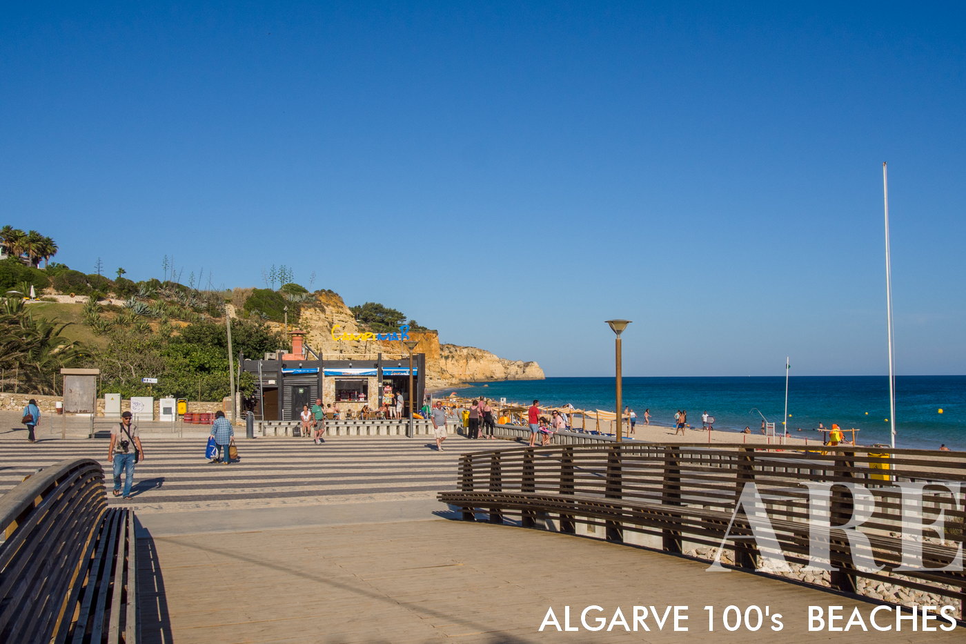
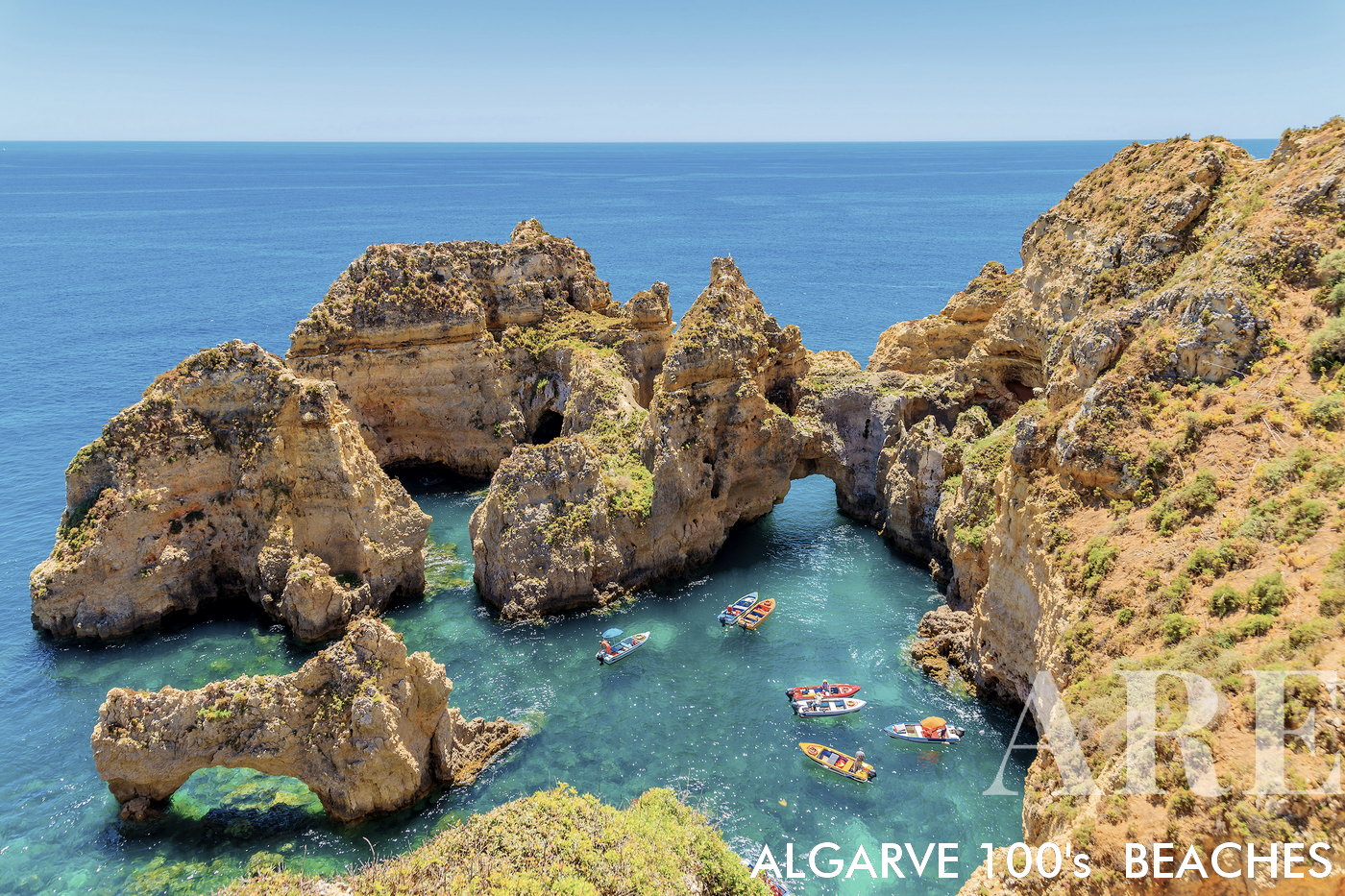
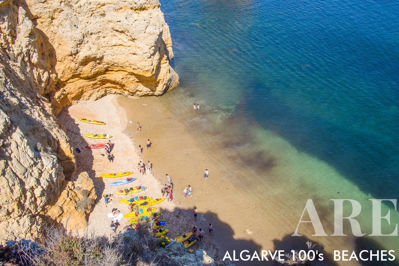
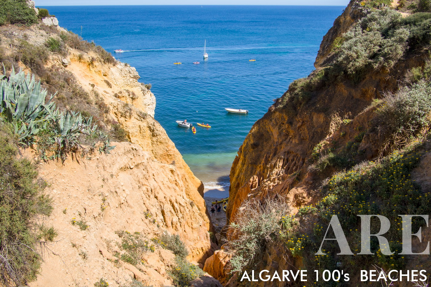
A visual journey through hundreds of Algarve beach photos captured over the years. We continually update our collection with fresh images and the latest information.
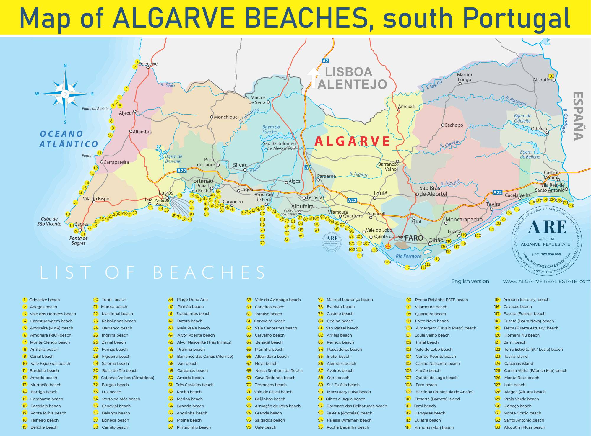
Algarve's 133 beaches map

South of Portugal coast has more than 133 beaches for you to discover!
The Algarve beach map was created to help you get to know all the existing beaches along the Algarve coast, from Vila Real de Santo António at Portugal’s southernmost border with Spain, through the best-known beaches, the most secluded beaches, to Odeceixe, on the Algarve coastline border with Alentejo. See the list of Algarve beaches below and get to know the main characteristics of each one… there are over 133 beaches in southern Portugal to discover!

Algarve West coast beaches (Costa Vicentina)

Western Algarve (Costa Vicentina) covers the Algarve’s westernmost beaches into Alentejo. Here the beaches are a little more wild, rugged, and less crowded, facing the Atlantic and often windier—ideal for surfing.
  1. see on the map
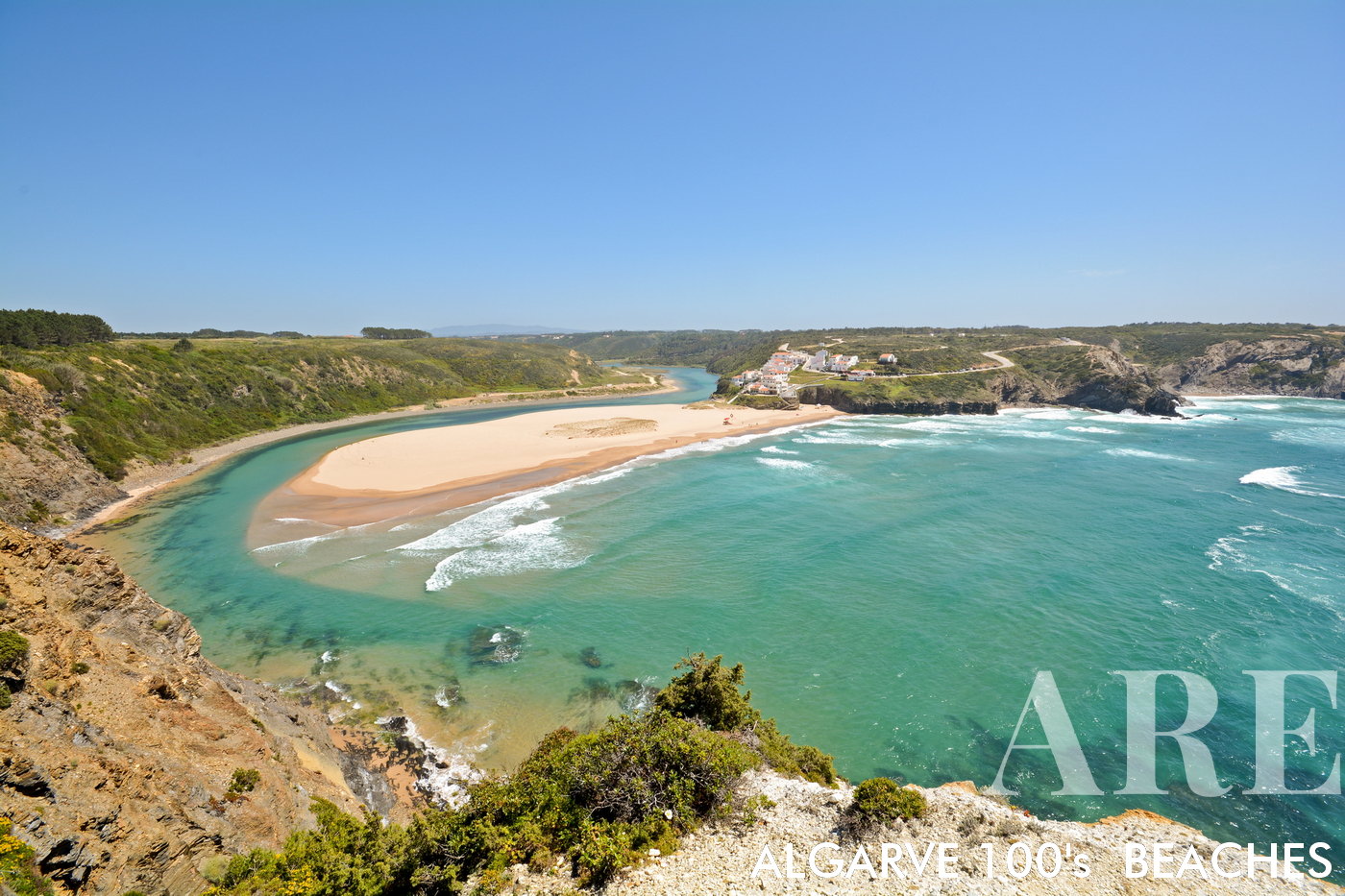
A panoramic view opens up to Odeceixe Beach, a surfer's paradise on the West coast of Algarve, in the Aljezur District of Portugal. A sandy bank, shaped by the river, graces the scene, while the river meets the ocean on the right side of the beach. On the left, a small village of quaint houses perches on the cliff top, overlooking the scenic coastal vista.
A panoramic view opens up to Odeceixe Beach, a surfer’s paradise on the West coast of Algarve, in the Aljezur District of Portugal. A sandy bank, shaped by the river, graces the scene, while the river meets the ocean on the right side of the beach. On the left, a small village of quaint houses perches on the cliff top, overlooking the scenic coastal vista.

  1. see on the map
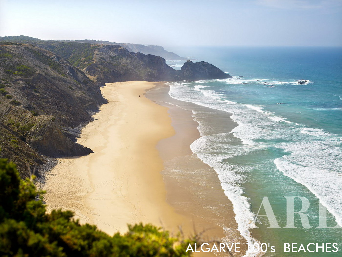
Vale dos Homens Beach is a tranquil retreat, its southern view dominated by towering cliffs that create a stunning natural amphitheater.
Vale dos Homens Beach is a tranquil retreat, its southern view dominated by towering cliffs that create a stunning natural amphitheater.

  1. see on the map
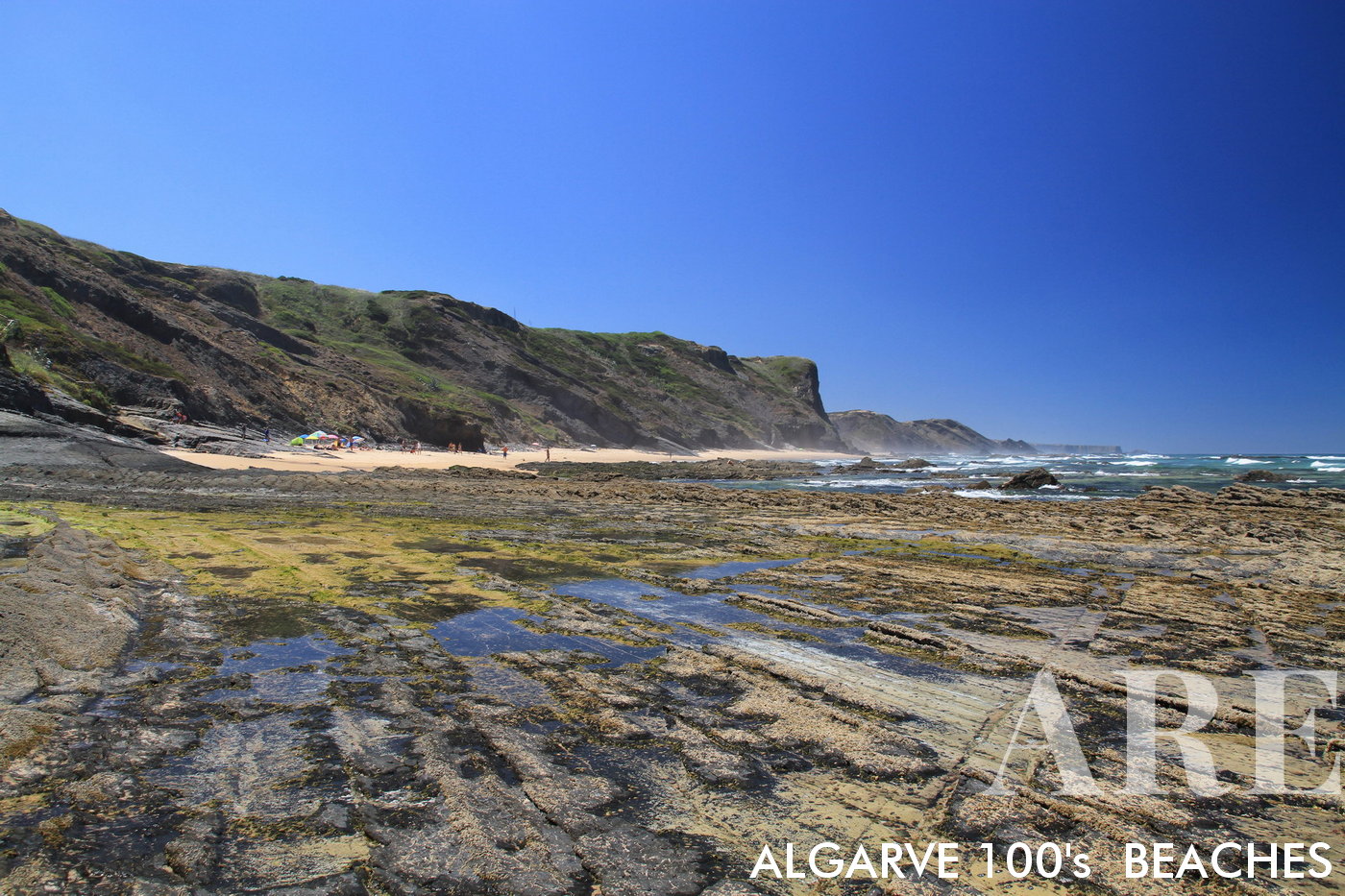
Carriagem Beach in Rogil, Aljezur, Portugal presents a unique view of rock formations on the beach at low tide, further accentuated by the impressive cliffs that surround this serene seaside spot.
Carriagem Beach in Rogil, Aljezur, Portugal presents a unique view of rock formations on the beach at low tide, further accentuated by the impressive cliffs that surround this serene seaside spot.

  1. see on the map
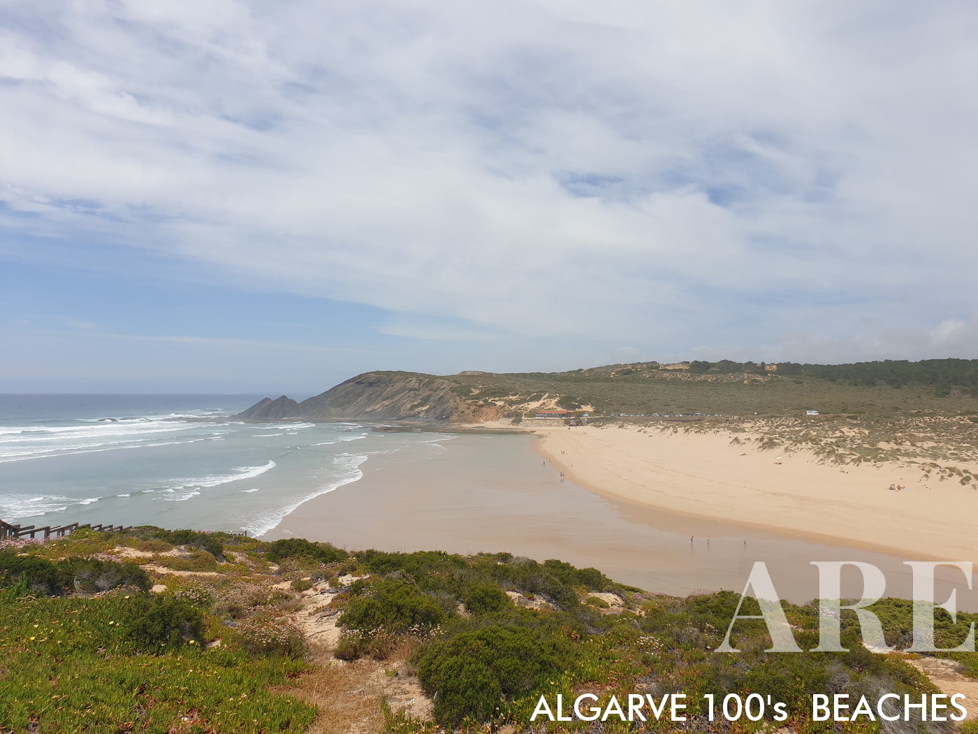
From atop the cliff, Amoreira Beach unveils a breathtaking landscape of natural beauty. The vista is marked by the dunes against the backdrop of the ocean.
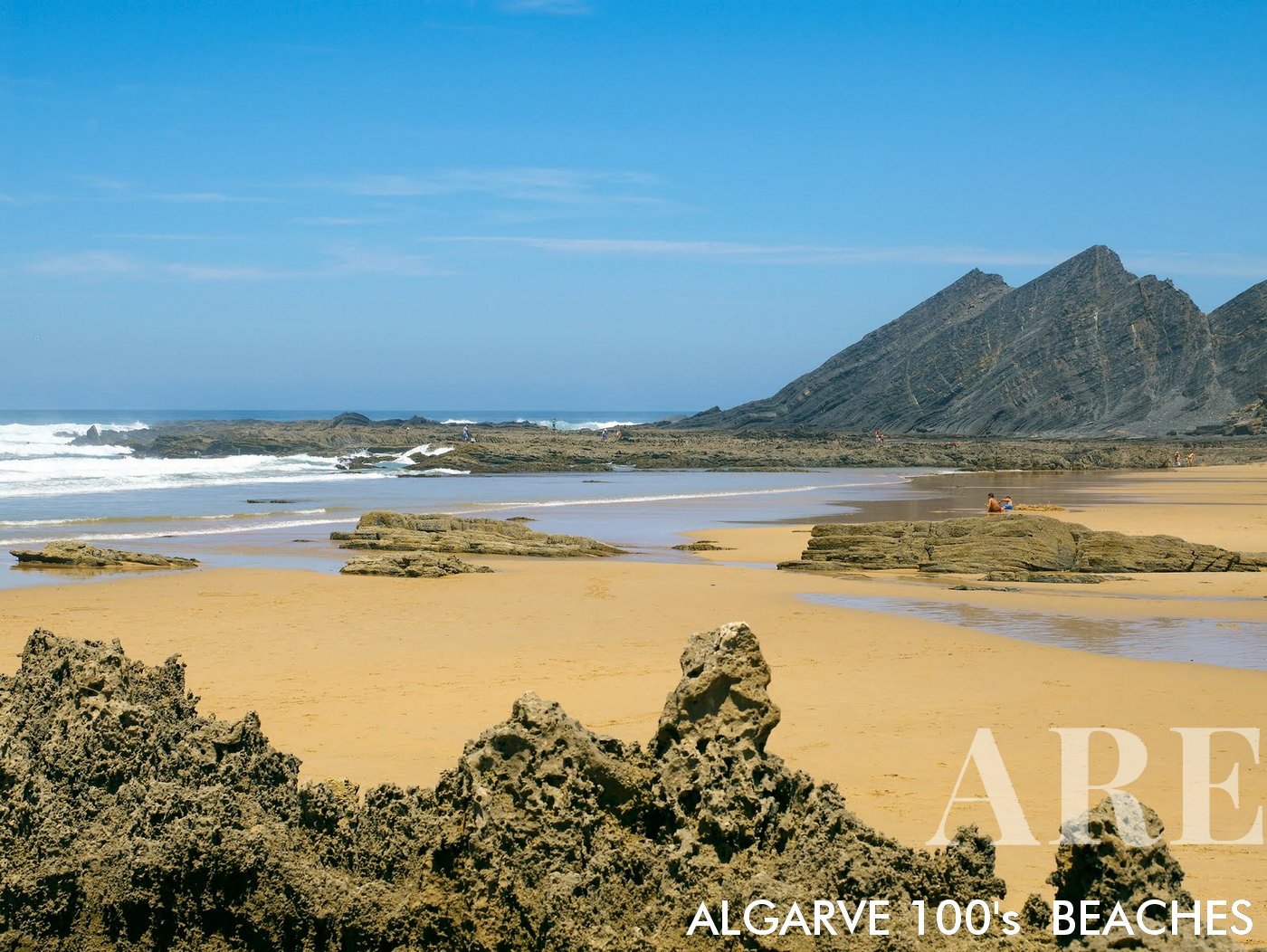
From atop the cliff, Amoreira Beach unveils a breathtaking landscape of natural beauty. The vista is marked by the dunes against the backdrop of the ocean.

  1. see on the map
At Amoreira Beach in Algarve, Portugal, dramatic rock cliffs march towards the ocean, their grandeur mirrored by intriguing rock formations revealed on the sandy shore at low tide
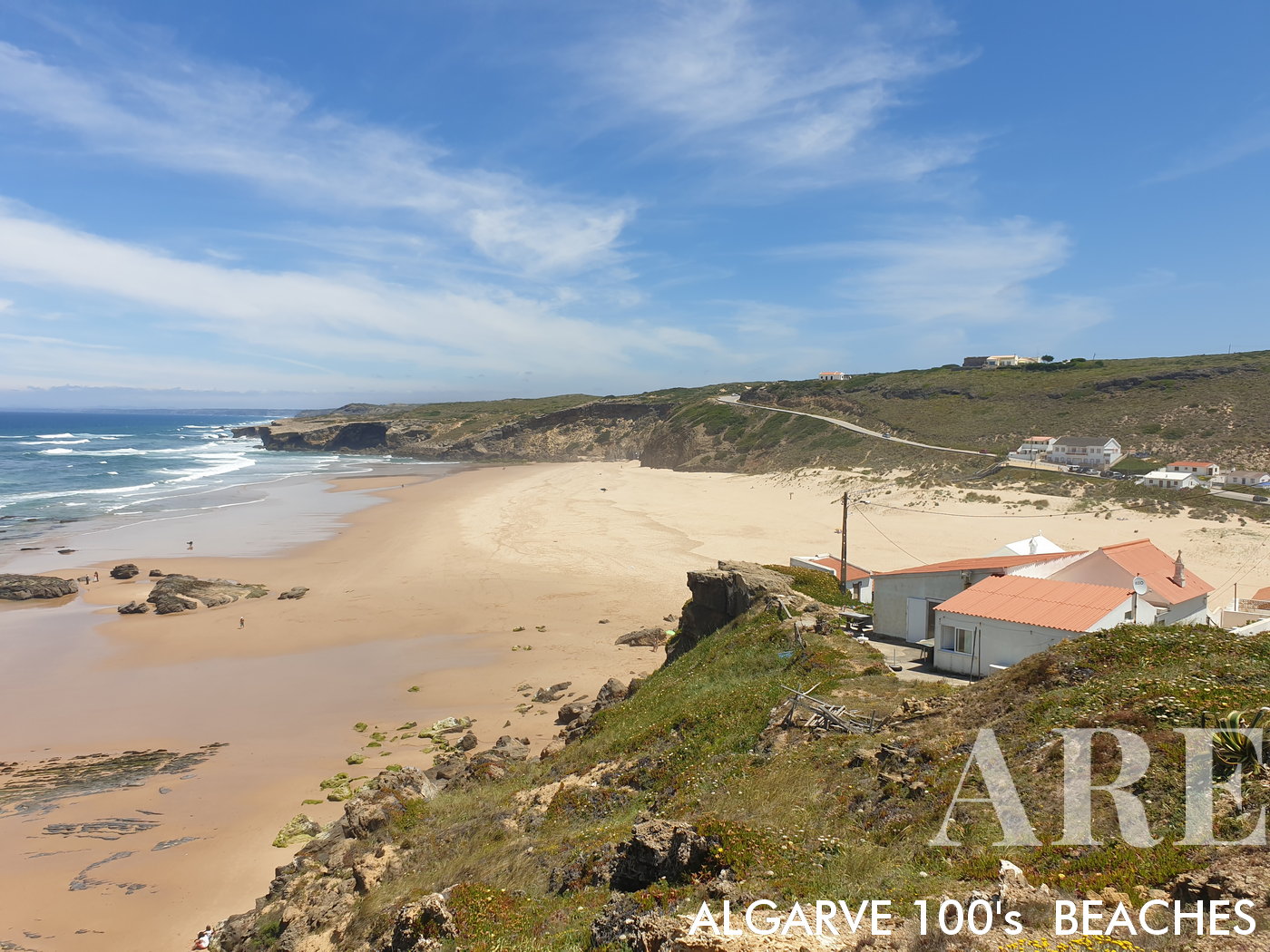
At Amoreira Beach in Algarve, Portugal, dramatic rock cliffs march towards the ocean, their grandeur mirrored by intriguing rock formations revealed on the sandy shore at low tide

  1. see on the map
Monte Clérigo Beach, viewed from south to north, unveils a picturesque half-moon shoreline adorned with houses. At low tide, rock formations emerge on the beach.
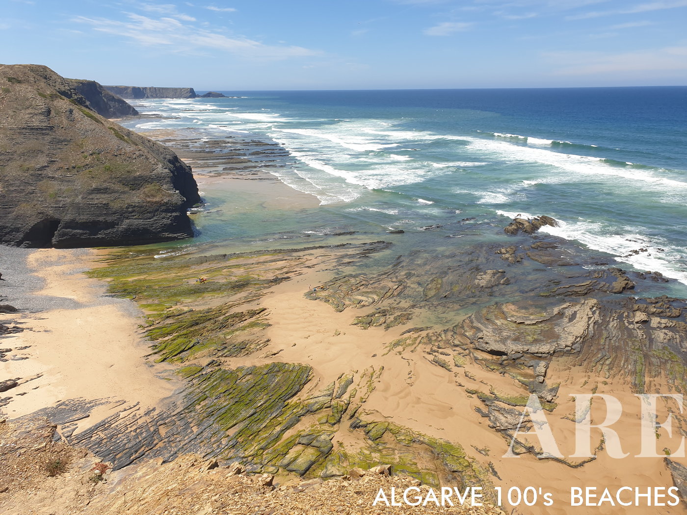
Monte Clérigo Beach, viewed from south to north, unveils a picturesque half-moon shoreline adorned with houses. At low tide, rock formations emerge on the beach.

  1. see on the map
Southern view of Monte Clérigo Beach at low tide reveals a diverse landscape. The rocky formations, interspersed with smooth sand, foreground the commanding cliff views, presenting a captivating portrait of this coastal area.
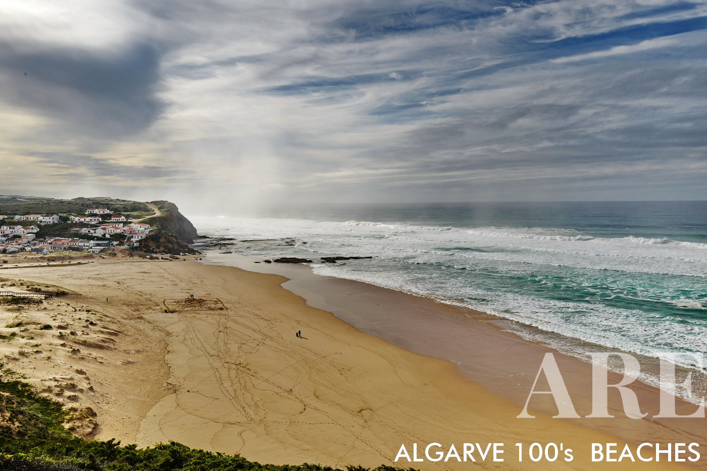
Southern view of Monte Clérigo Beach at low tide reveals a diverse landscape. The rocky formations, interspersed with smooth sand, foreground the commanding cliff views, presenting a captivating portrait of this coastal area.

  1. see on the map
Winter at Monte Clérigo Beach in Algarve, Portugal presents a peaceful setting. The half-moon beach is bordered by a quaint village of houses, offering a scenic backdrop for a brisk walk along the shore.
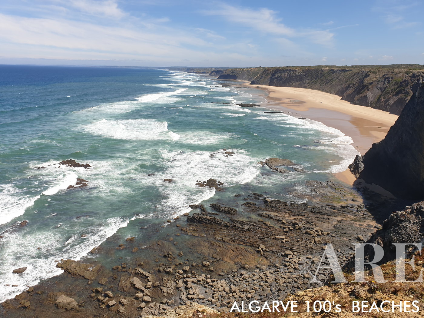
Winter at Monte Clérigo Beach in Algarve, Portugal presents a peaceful setting. The half-moon beach is bordered by a quaint village of houses, offering a scenic backdrop for a brisk walk along the shore.

  1. see on the map
Take in the striking view from Medo da Fonte Santa Beach, where the Coelha Beach forms a picturesque silhouette on the horizon. Picture taken from the captivating Ponta da Atalaia,creating a stunning panorama of diverse natural beauty.
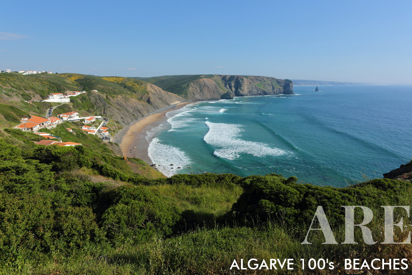
Take in the striking view from Medo da Fonte Santa Beach, where the Coelha Beach forms a picturesque silhouette on the horizon. Picture taken from the captivating Ponta da Atalaia,creating a stunning panorama of diverse natural beauty.

  1. see on the map
In the South-West Alentejo and Costa Vicentina Natural Park, Portugal, Arrifana Beach emerges as a popular surf spot. A north to south view from atop the cliffs unveils the beauty of this natural setting.
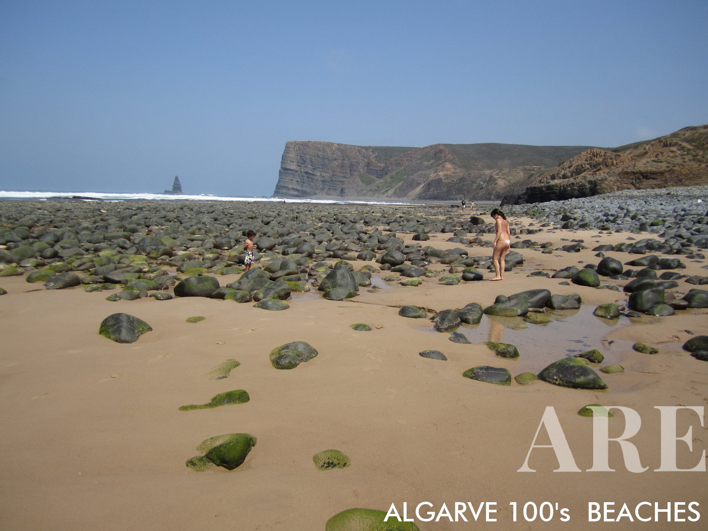
In the South-West Alentejo and Costa Vicentina Natural Park, Portugal, Arrifana Beach emerges as a popular surf spot. A north to south view from atop the cliffs unveils the beauty of this natural setting.

  1. see on the map
Canal Beach in Aljezur, Algarve presents an enchanting panorama of small rocks, rhythmic waves, and the vast ocean, culminating in the distinctive silhouette of Ponta da Agulha rock on the horizon.
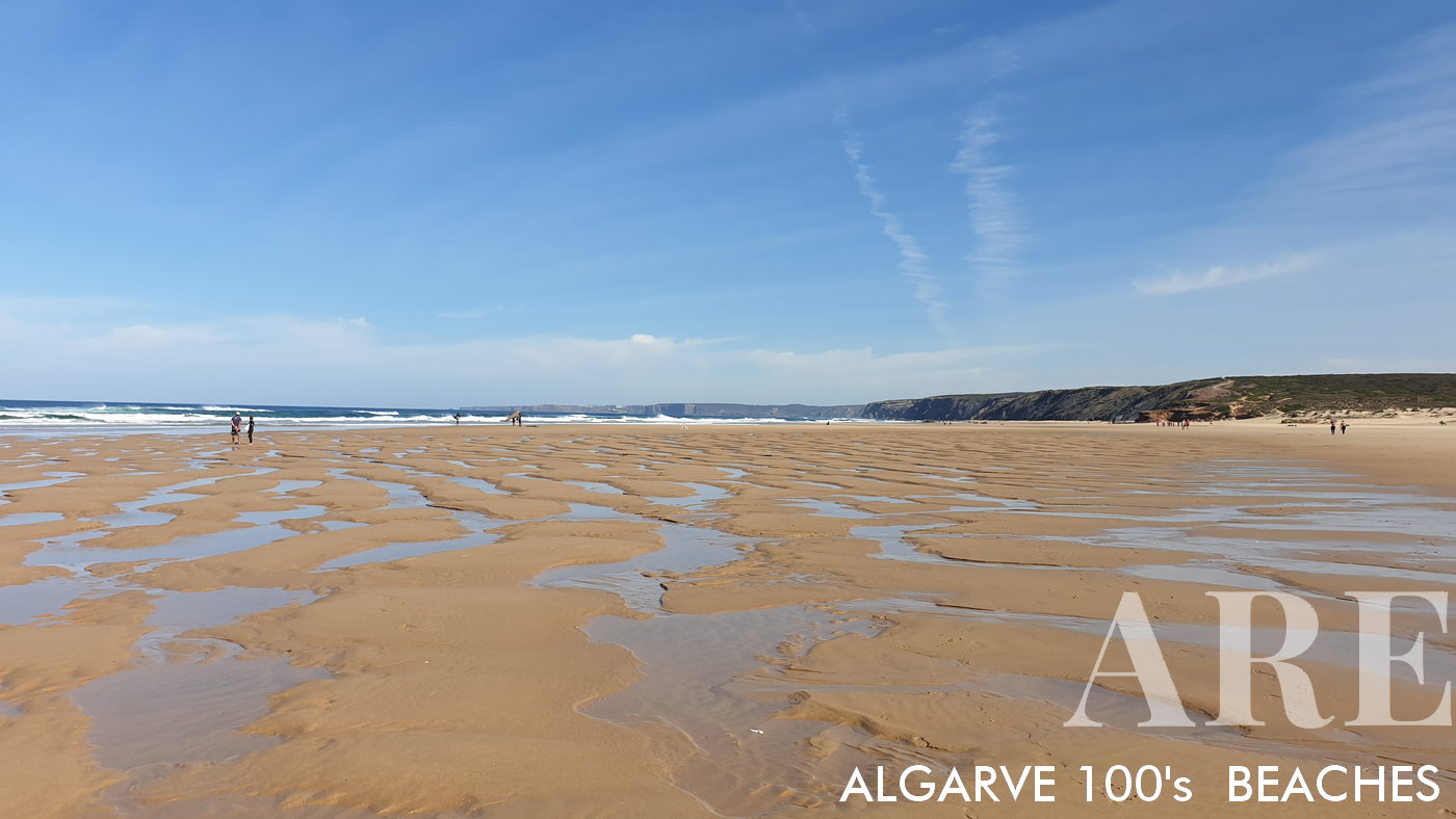
Canal Beach in Aljezur, Algarve presents an enchanting panorama of small rocks, rhythmic waves, and the vast ocean, culminating in the distinctive silhouette of Ponta da Agulha rock on the horizon.

  1. see on the map
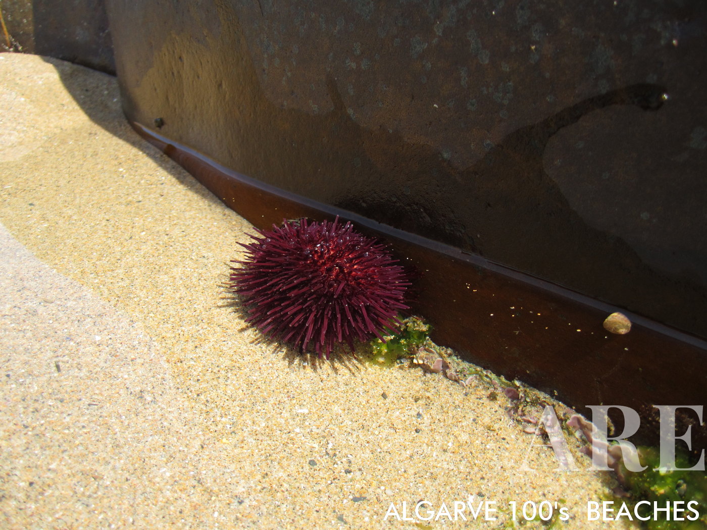
Sea urchin delicately positioned within a small puddle of tidal water on Canal Beach

Sea urchin delicately positioned within a small puddle of tidal water on Canal Beach

  1. see on the map
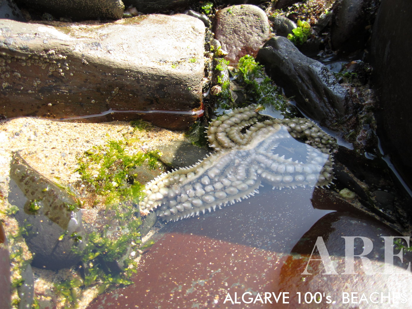
A starfish gracefully submerged in the shallow waters of Canal Beach

A starfish gracefully submerged in the shallow waters of Canal Beach

  1. see on the map
Bordeira Beach features a vast sandy area, accentuated by sand banks revealed at low tide. The beach is bordered by cliffs lush with green vegetation.
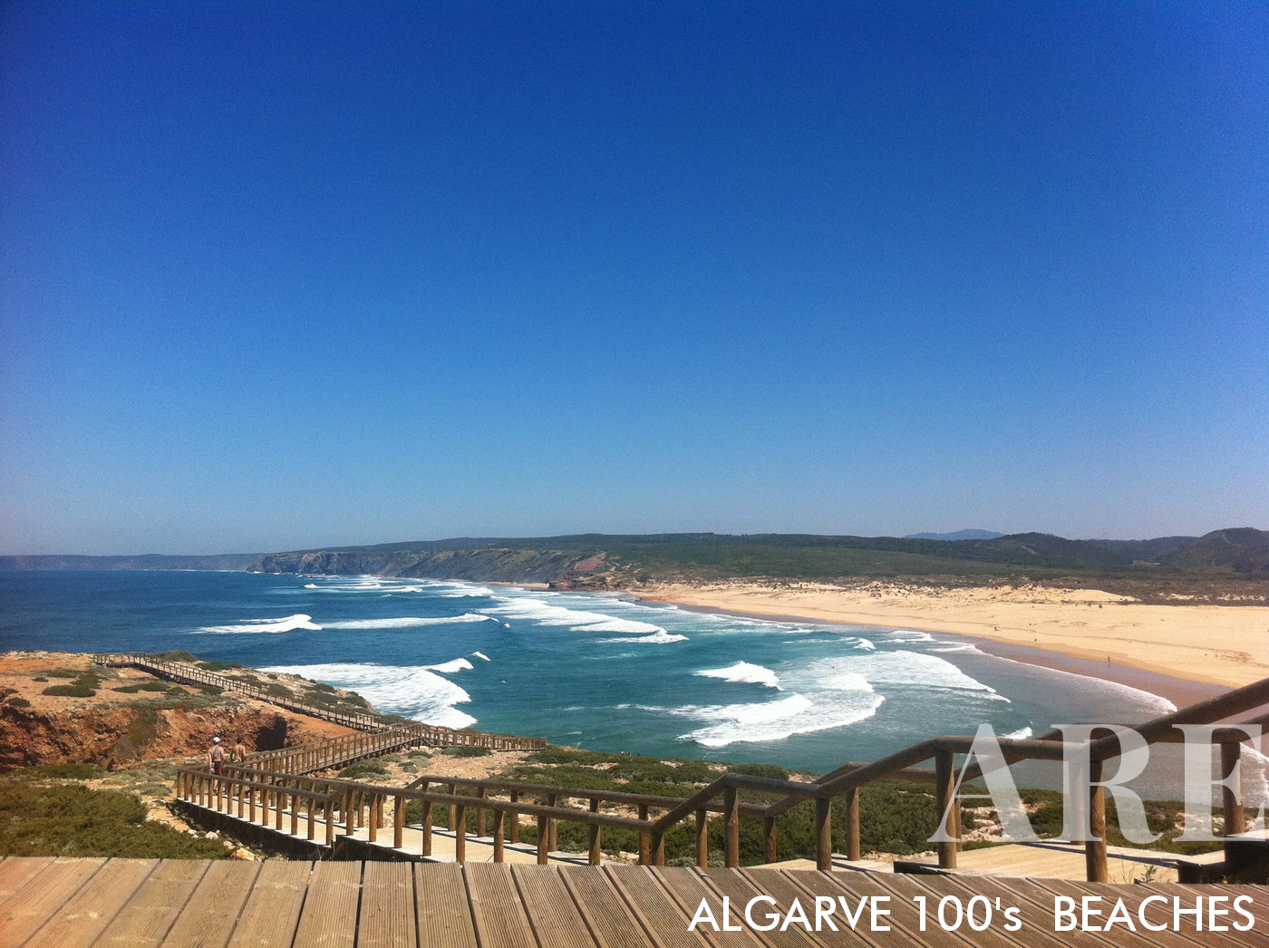
Bordeira Beach features a vast sandy area, accentuated by sand banks revealed at low tide. The beach is bordered by cliffs lush with green vegetation.

  1. see on the map
In Carrapateira, Algarve, Portugal, Bordeira Beach is accessible via a wooden walkway. In winter, the beach hosts robust waves and reveals its wild nature
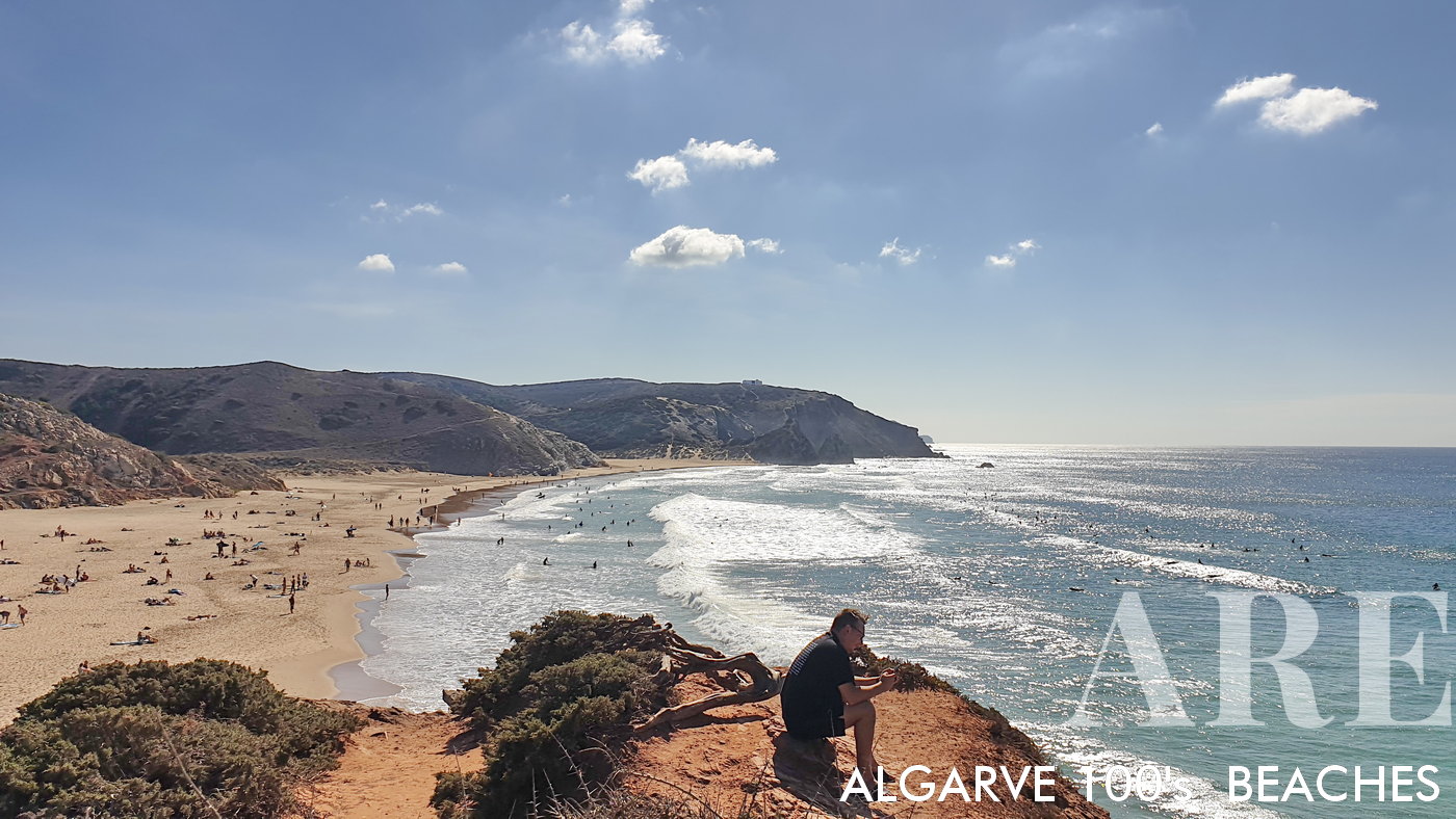
In Carrapateira, Algarve, Portugal, Bordeira Beach is accessible via a wooden walkway. In winter, the beach hosts robust waves and reveals its wild nature

  1. see on the map
Overlooking Amado Beach from the cliff reveals a vibrant scene of surfers catching easy waves. As the most accessible beach from Carrapateira on the southwest coast, its popularity is evident in the lively activity against the backdrop of beautiful ocean views
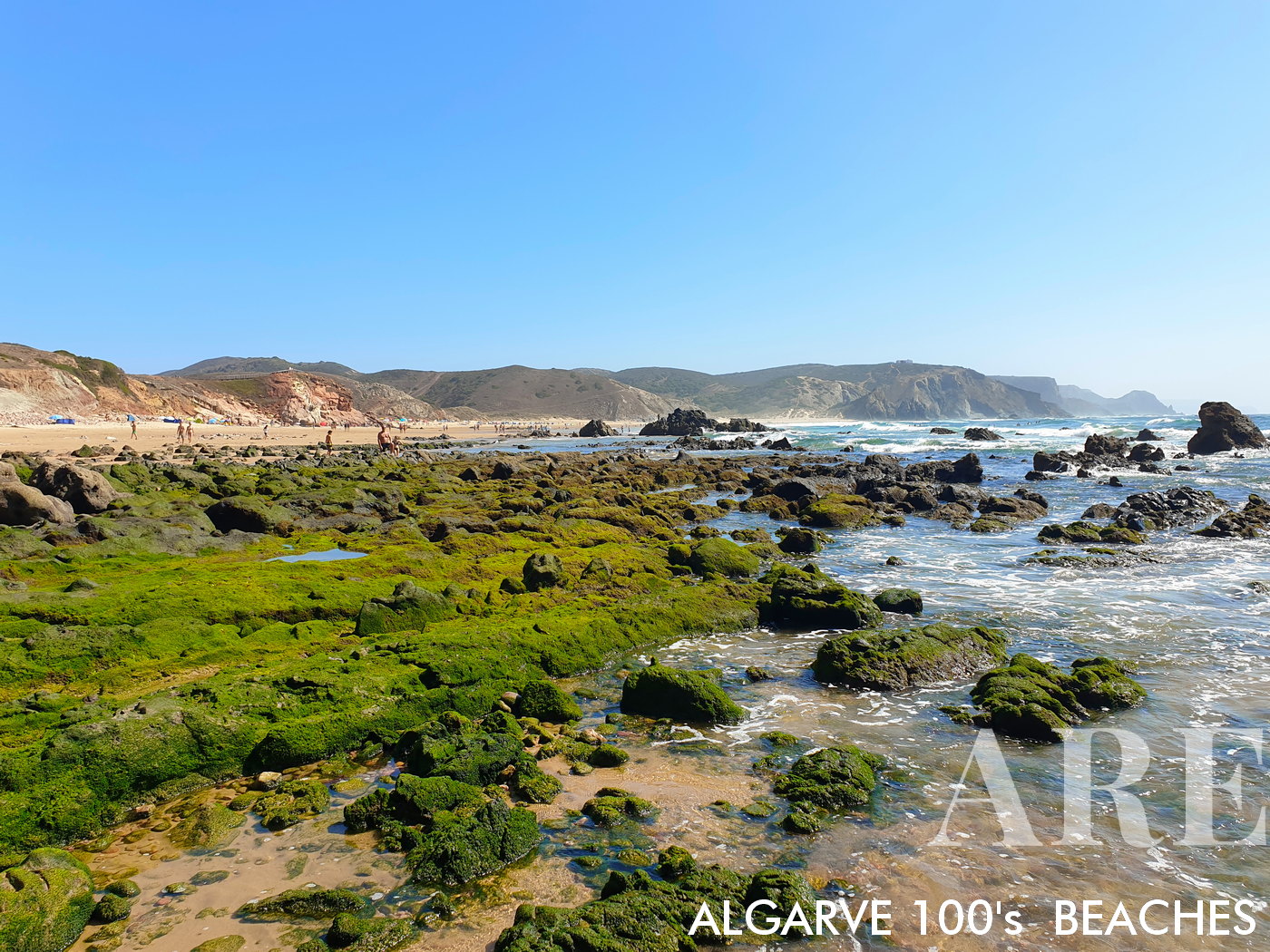
Overlooking Amado Beach from the cliff reveals a vibrant scene of surfers catching easy waves. As the most accessible beach from Carrapateira on the southwest coast, its popularity is evident in the lively activity against the backdrop of beautiful ocean views

  1. see on the map
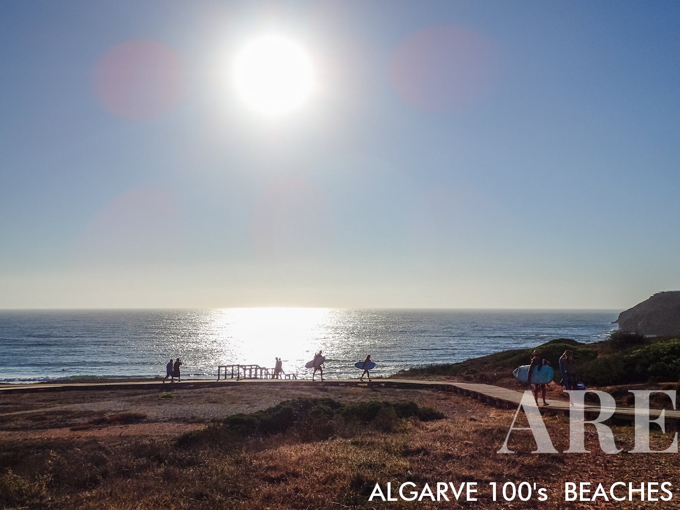
Surfers' silhouettes at Amado Beach during a summer sunset

Surfers’ silhouettes at Amado Beach during a summer sunset

  1. see on the map
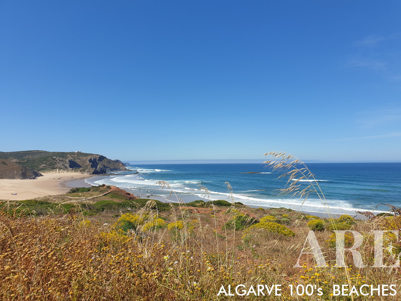
Viewed through a frame of local nature and plants, Amado Beach reveals its tranquil beauty.

Viewed through a frame of local nature and plants, Amado Beach reveals its tranquil beauty.

  1. see on the map
From the northern side of Amado Beach at low tide, the sight of exposed green rocks and small natural pools offers a unique perspective on the ever-changing beauty of this beach.
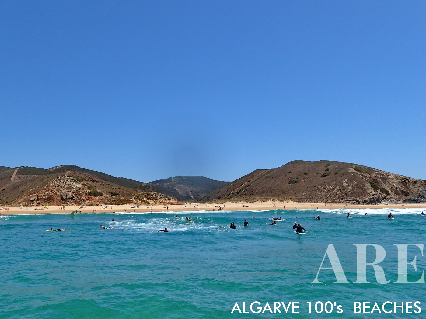
From the northern side of Amado Beach at low tide, the sight of exposed green rocks and small natural pools offers a unique perspective on the ever-changing beauty of this beach.

  1. see on the map
From the surfer's perspective, Amado Beach is a thrilling vista of rolling waves, creating a visceral sense of being in the heart of the action, surrounded by the raw power and beauty of the ocean.
From the surfer’s perspective, Amado Beach is a thrilling vista of rolling waves, creating a visceral sense of being in the heart of the action, surrounded by the raw power and beauty of the ocean.

  1. see on the map
A serene morning at Cordoama Beach, where the calm waters reflect the soft light of dawn.

A serene morning at Cordoama Beach, where the calm waters reflect the soft light of dawn.

  1. see on the map
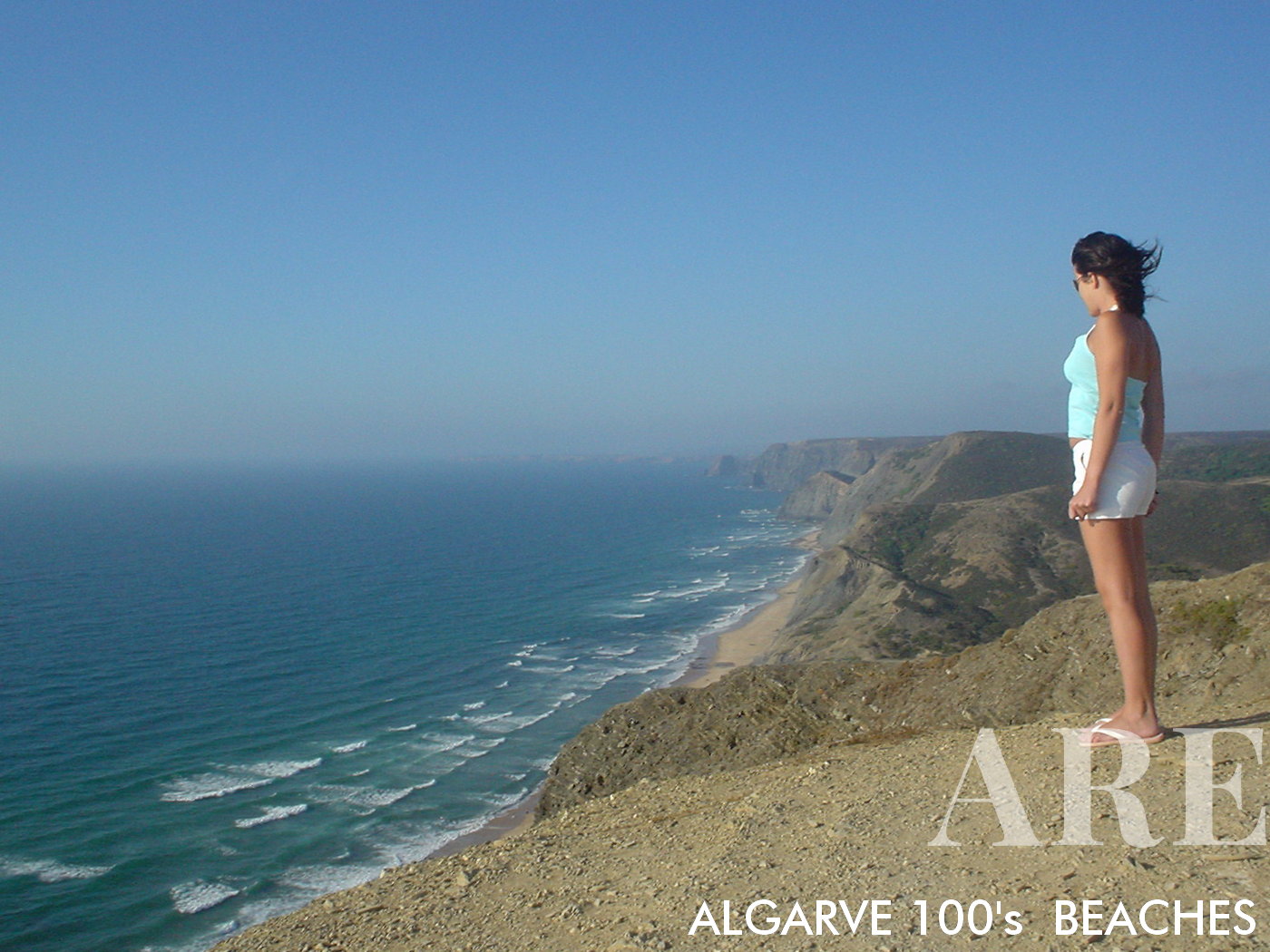
From Cordoama viewpoint, an awe-inspiring panoramic view unfurls, just as it was in August 2003. Despite the passing of years, the landscape maintains its timeless beauty and splendor, a testament to nature's enduring majesty.

From Cordoama viewpoint, an awe-inspiring panoramic view unfurls, just as it was in August 2003. Despite the passing of years, the landscape maintains its timeless beauty and splendor, a testament to nature’s enduring majesty.
  1. see on the map
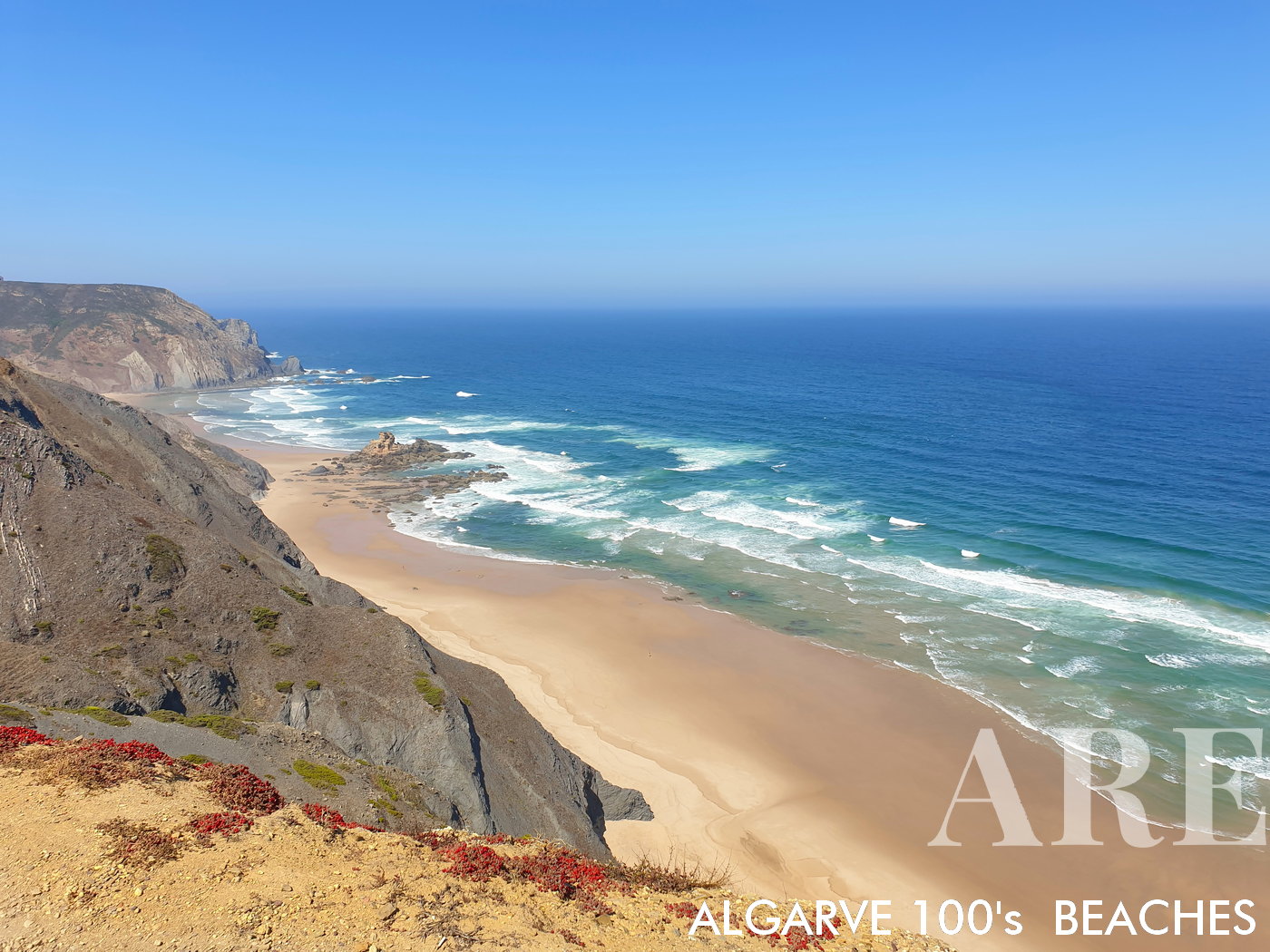
From the viewpoint, behold the spectacular panorama of Castelejo and Cordoama beaches. To your left, the rugged charm of Castelejo beach unfolds, and to your right, the vast expanse of Cordoama beach stretches out, creating a breathtaking vista where land meets sea.
From the viewpoint, behold the spectacular panorama of Castelejo and Cordoama beaches. To your left, the rugged charm of Castelejo beach unfolds, and to your right, the vast expanse of Cordoama beach stretches out, creating a breathtaking vista where land meets sea.

  1. see on the map
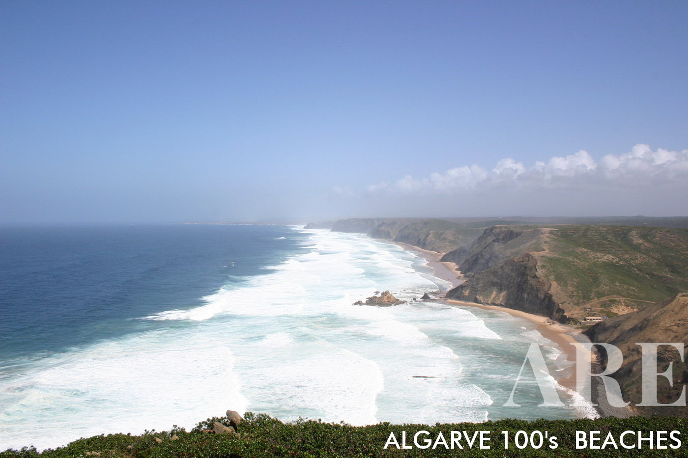
From an elevated perspective, Castelejo and Cordoama Beaches come into full view, white waves dominating the scene in a powerful March swell, a vivid display of nature's grandeur.

From an elevated perspective, Castelejo and Cordoama Beaches come into full view, white waves dominating the scene in a powerful March swell, a vivid display of nature’s grandeur.
  1. see on the map
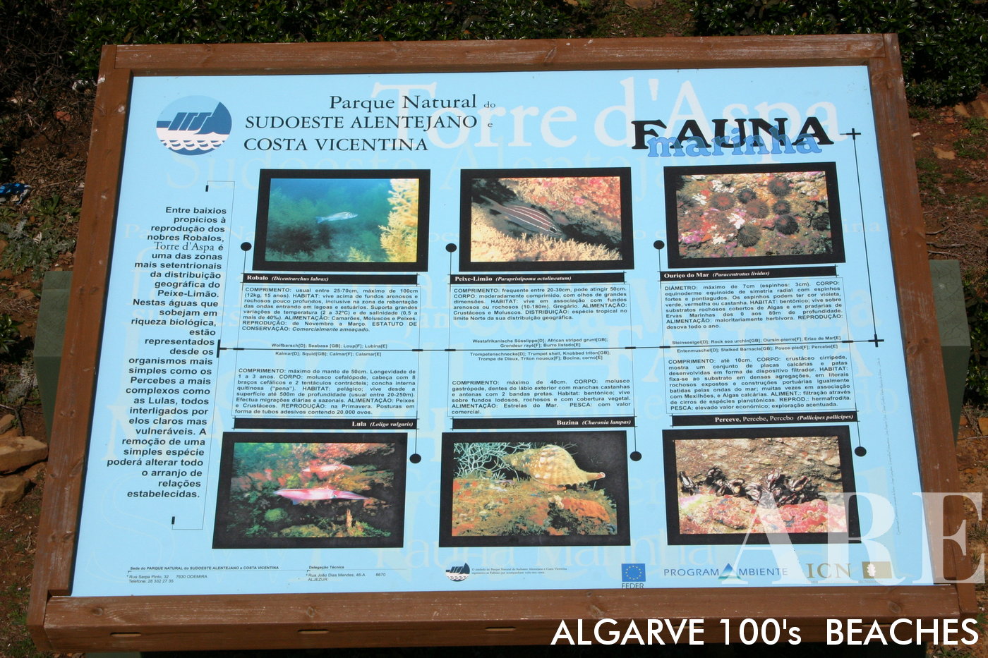
A display of Costa Vicentina & Sudoeste Alentejano's local fauna presented on a council information board, showcasing the region's rich biodiversity and commitment to conservation.

A display of Costa Vicentina & Sudoeste Alentejano’s local fauna presented on a council information board, showcasing the region’s rich biodiversity and commitment to conservation.
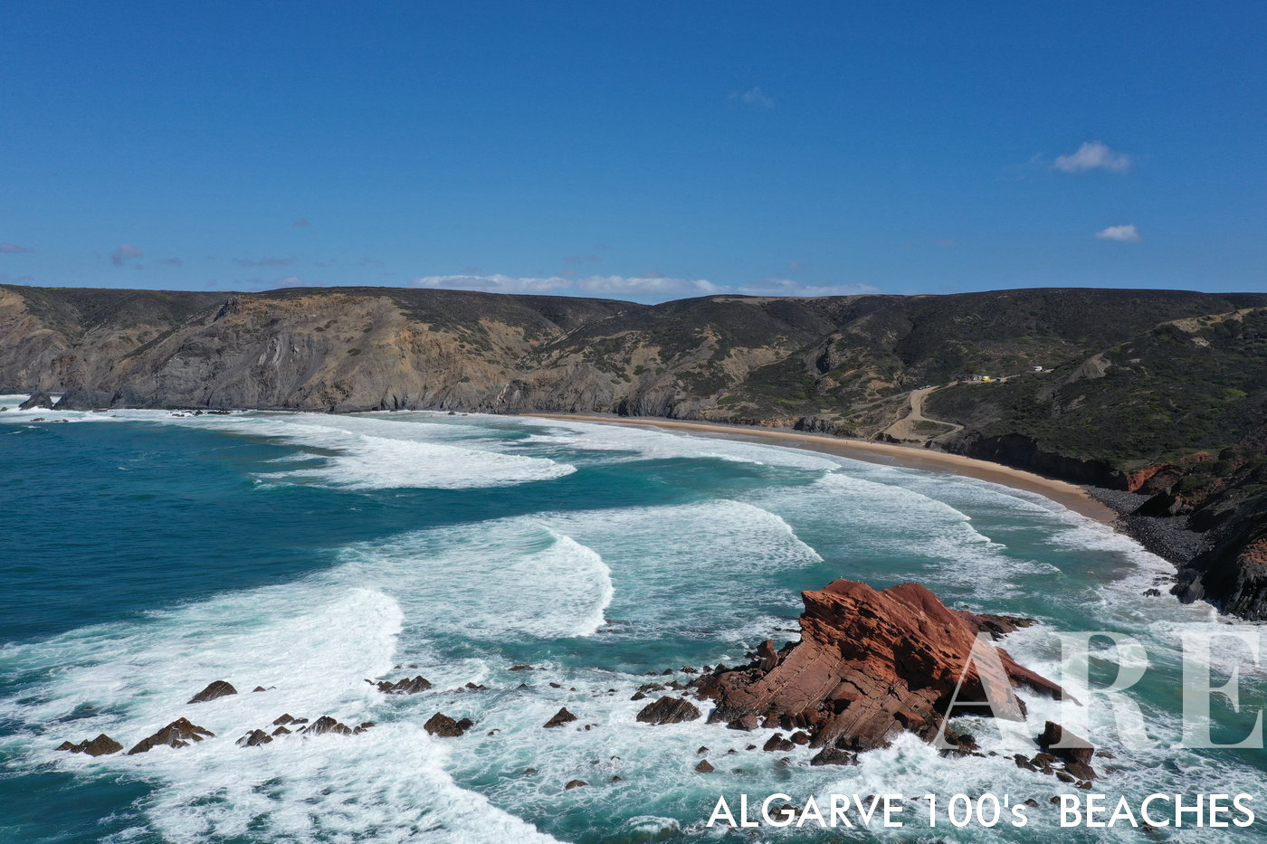
  1. see on the map
Captivating view of Ponta Ruiva Beach from the ocean, featuring the renowned Ruiva rock to the right, waves dancing from left to right, and a dramatic cliff gracing the right side of the image. A secretive surf haven, accessed only via a secluded dirt road.
Captivating view of Ponta Ruiva Beach from the ocean, featuring the renowned Ruiva rock to the right, waves dancing from left to right, and a dramatic cliff gracing the right side of the image. A secretive surf haven, accessed only via a secluded dirt road.

  1. see on the map
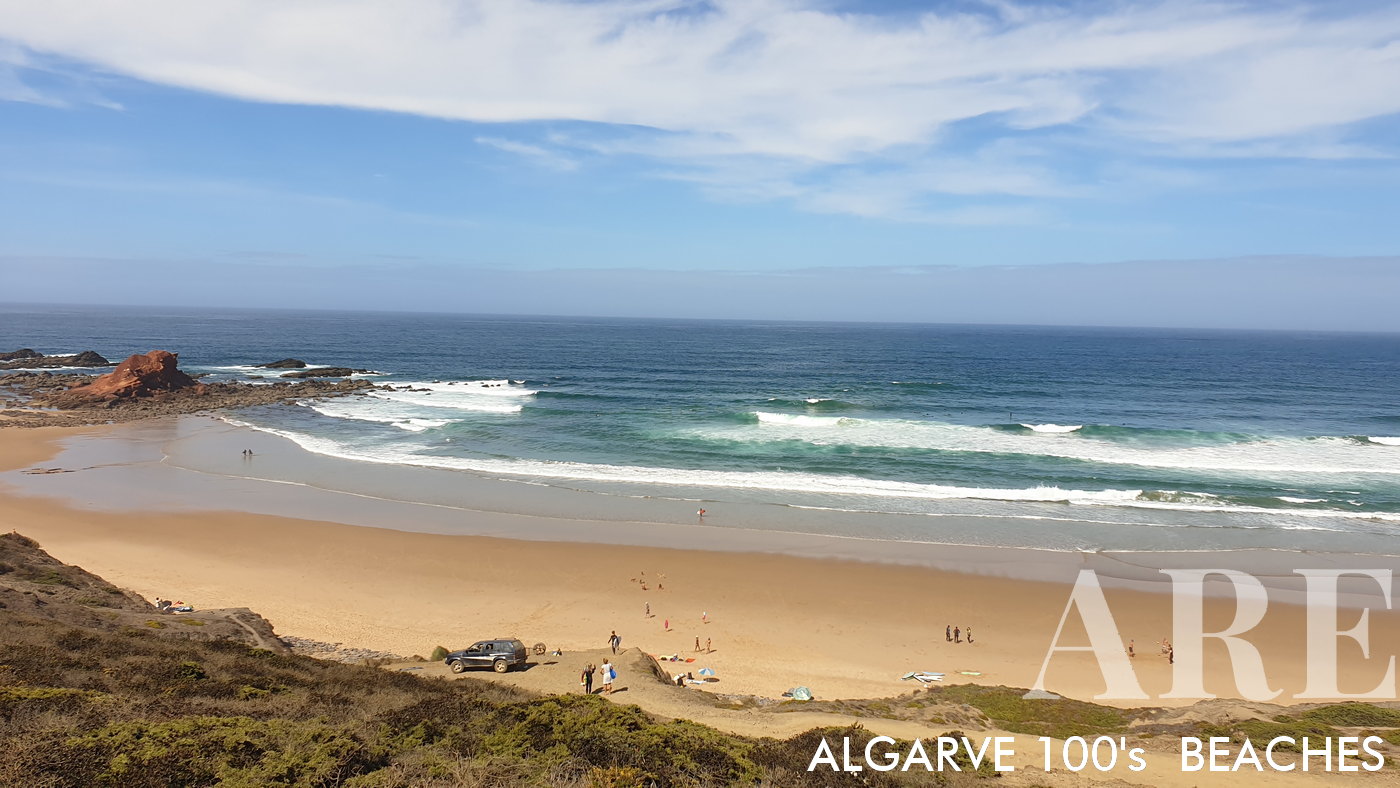
View of Ponta Ruiva Beach, taken from the vantage point of the imposing cliff, revealing its untouched beauty and serene shoreline.
View of Ponta Ruiva Beach, taken from the vantage point of the imposing cliff, revealing its untouched beauty and serene shoreline.

  1. see on the map
Telheiro Beach is encased by dark rock cliffs that form a natural barrier around the sandy expanse.

Telheiro Beach is encased by dark rock cliffs that form a natural barrier around the sandy expanse.

  1. see on the map
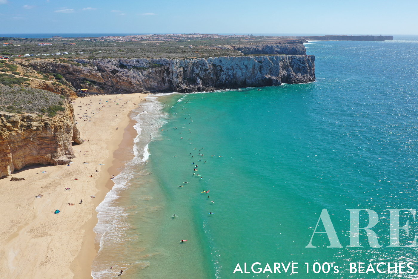
Beliche Beach, located a short journey from Sagres, beautifully captured with Sagres village and the dramatic Sagres promontory forming a picturesque backdrop.
Beliche Beach, located a short journey from Sagres, beautifully captured with Sagres village and the dramatic Sagres promontory forming a picturesque backdrop.

  1. see on the map
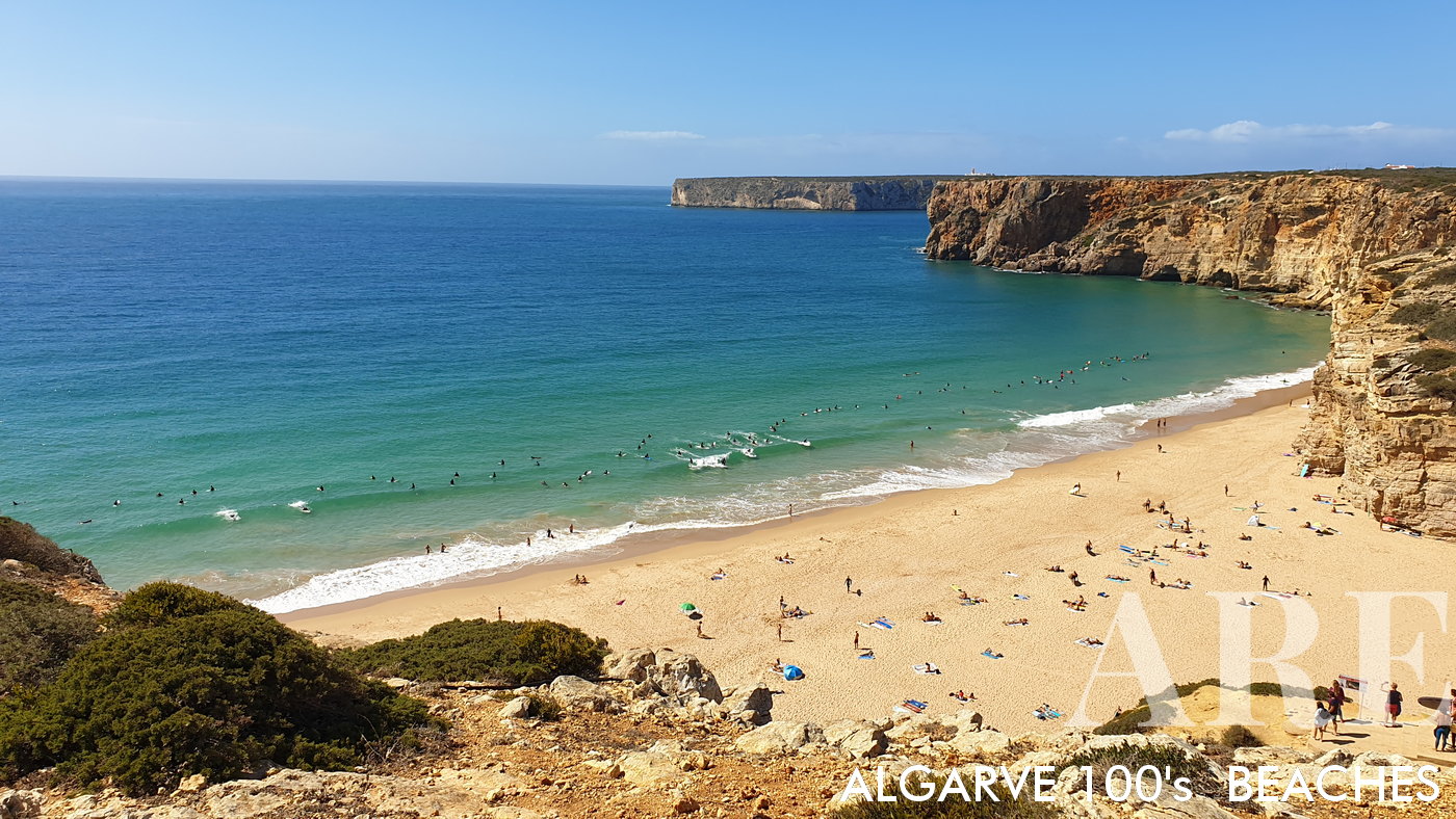
Commanding view from the top of the cliff over Beliche Beach, with the distant Farol de Cabo de Sao Vicente Lighthouse punctuating the horizon, creating a stunning tableau of Portugal's unspoiled coastline.

Commanding view from the top of the cliff over Beliche Beach, with the distant Farol de Cabo de Sao Vicente Lighthouse punctuating the horizon, creating a stunning tableau of Portugal’s unspoiled coastline.

  1. see on the map
Winter storm paints a dramatic scene at Tonel Beach, with turbulent waves crashing under a moody sky, and the stoic Sagres Fortress standing vigil in the foreground.
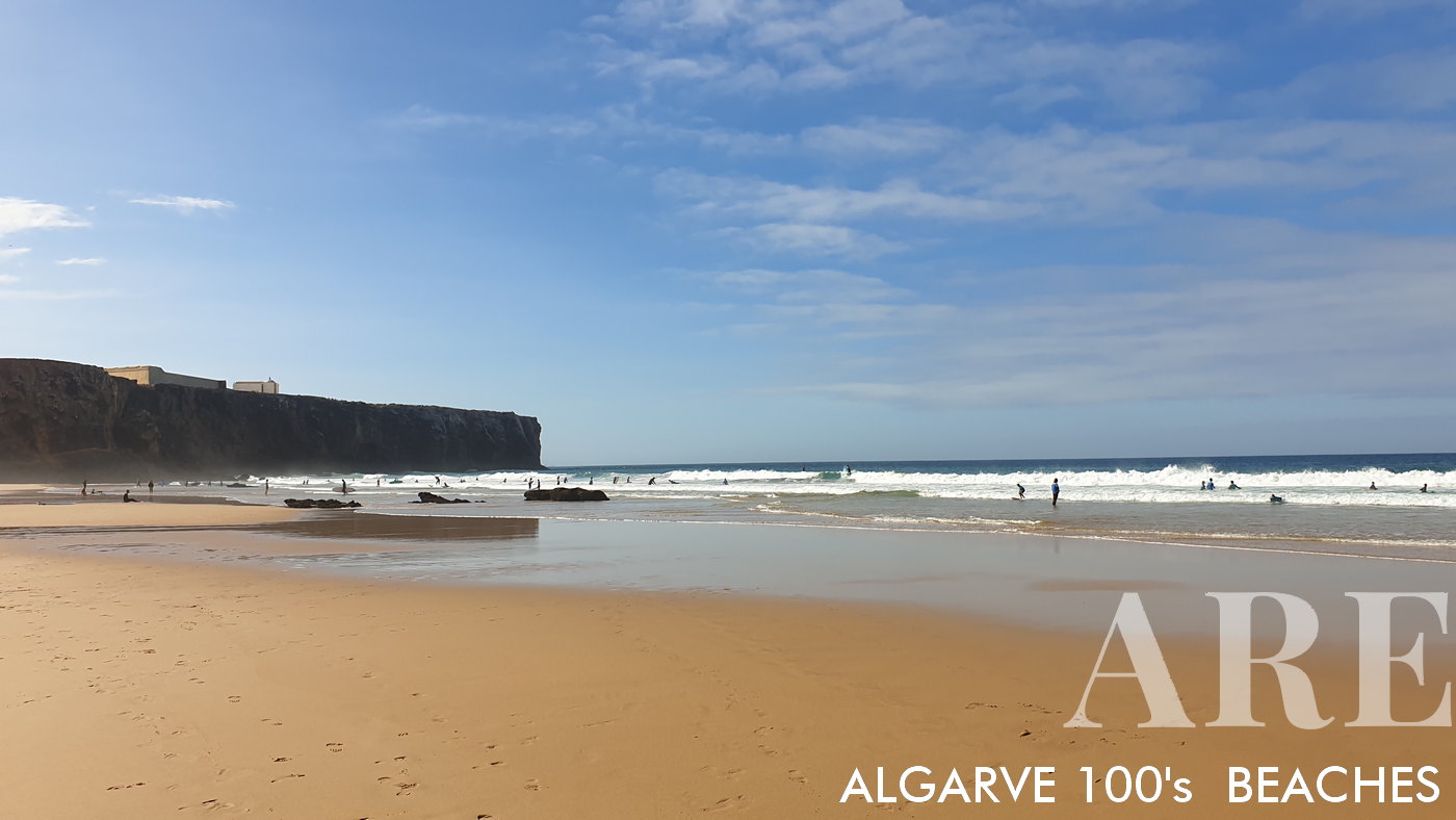
Winter storm paints a dramatic scene at Tonel Beach, with turbulent waves crashing under a moody sky, and the stoic Sagres Fortress standing vigil in the foreground.

  1. see on the map
October day at Tonel Beach, dotted with surf schools creating a vibrant tableau against the calming autumn seascape.
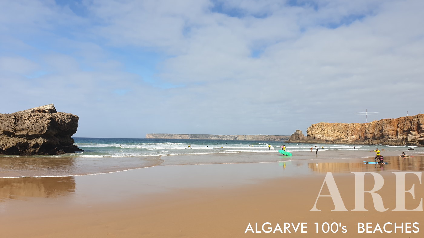
October day at Tonel Beach, dotted with surf schools creating a vibrant tableau against the calming autumn seascape.

  1. see on the map
Tonel Beach offers a stunning northward view, where towering cliffs meet the sea, composing an awe-inspiring shoreline panorama.
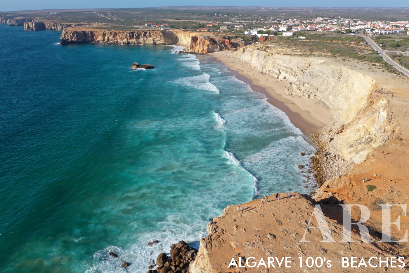
Tonel Beach offers a stunning northward view, where towering cliffs meet the sea, composing an awe-inspiring shoreline panorama.

  1. see on the map
From the cliffs of Tonel Beach, a spectacular northward view unfolds, showcasing the quaint village of Sagres nestled among the majestic cliffs.
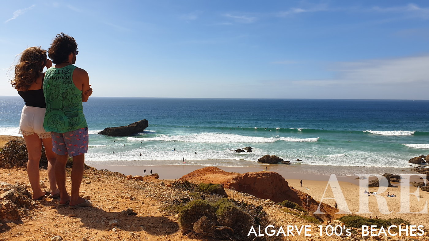
From the cliffs of Tonel Beach, a spectacular northward view unfolds, showcasing the quaint village of Sagres nestled among the majestic cliffs.

  1. see on the map
Tonel Beach gleams under the sunlight, as viewed from the cliff. To the west, nothing but the endless expanse of the brilliant blue ocean.
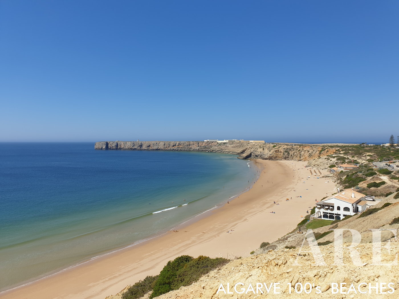
Tonel Beach gleams under the sunlight, as viewed from the cliff. To the west, nothing but the endless expanse of the brilliant blue ocean.

  1. see on the map
areta Beach in Sagres, conveniently accessible by foot from the village, features a stunning view of the commanding Sagres Fortress standing proudly in the foreground.
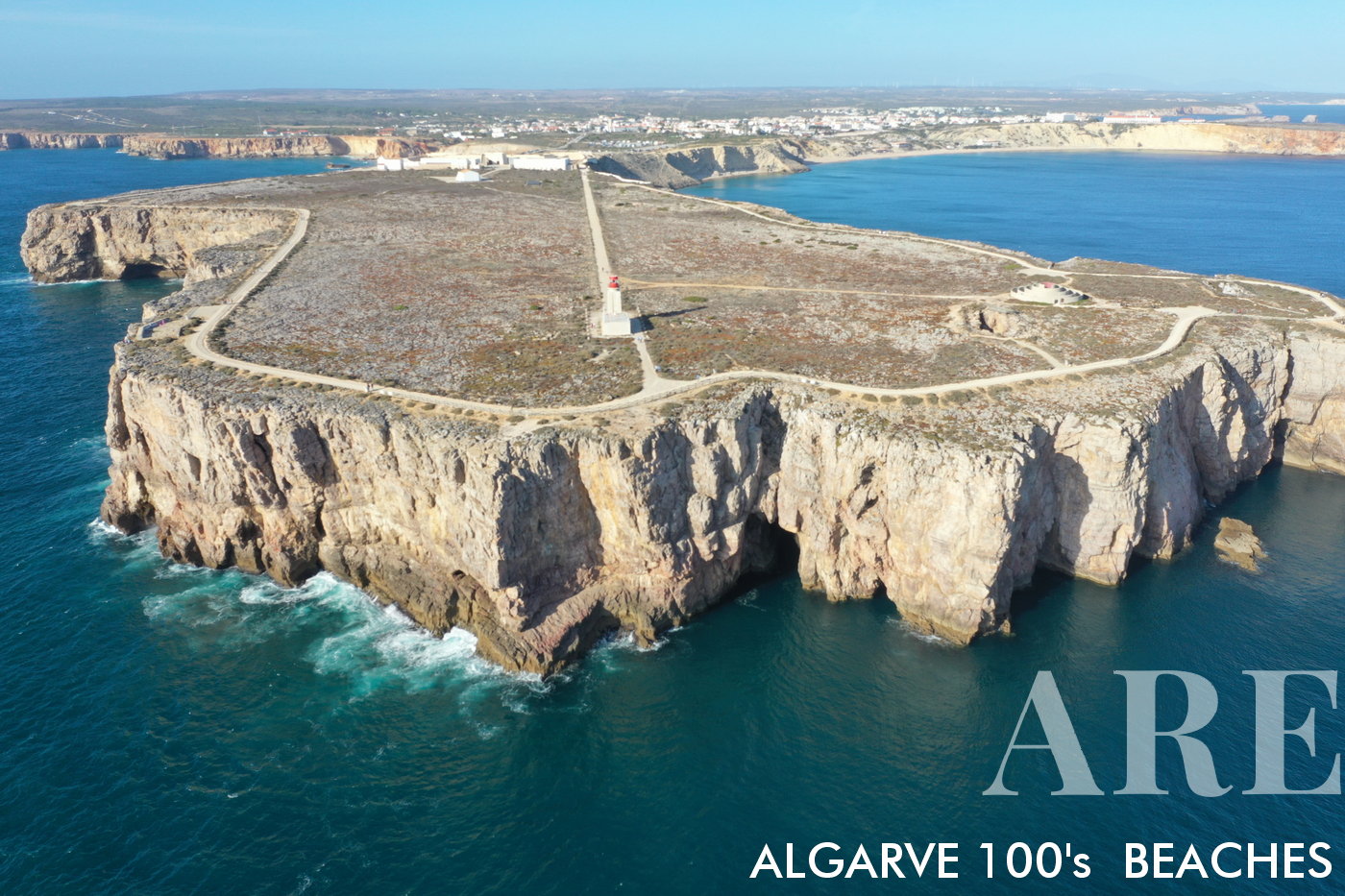
areta Beach in Sagres, conveniently accessible by foot from the village, features a stunning view of the commanding Sagres Fortress standing proudly in the foreground.

  1. see on the map
Sagres Point (Ponta de Sagres) is a natural spot, featuring the iconic Sagres Fortress (Fortaleza de Sagres), the great compass rose embedded in the ground (the Rosa dos Ventos), and the small 14th-century chapel of Nossa Senhora da Graça.

Sagres Point (Ponta de Sagres) is a natural spot, featuring the iconic Sagres Fortress (Fortaleza de Sagres), the great compass rose embedded in the ground (the Rosa dos Ventos), and the small 14th-century chapel of Nossa Senhora da Graça.

The panoramic views of the Atlantic Ocean, the stark cliffs, and the raw power of the sea crashing against the rocks make Ponta de Sagres a must-visit location for anyone traveling to Portugal’s Algarve region. The area is also a paradise for bird watchers as it’s a prime location for observing migratory birds.

Windward Algarve Beaches (Sagres to Armação de Pêra)

The Windward Algarve spans the coastline from Sagres to Armação de Pêra. This stretch is a harmonious blend of natural beauty with diverse landscapes ranging from towering cliffs to expansive sandy shores. The presence of both tranquil bays and open beachfronts. With popular spots like Praia da Rocha, Praia do Vau, and Praia de São Rafael.
  1. see on the map
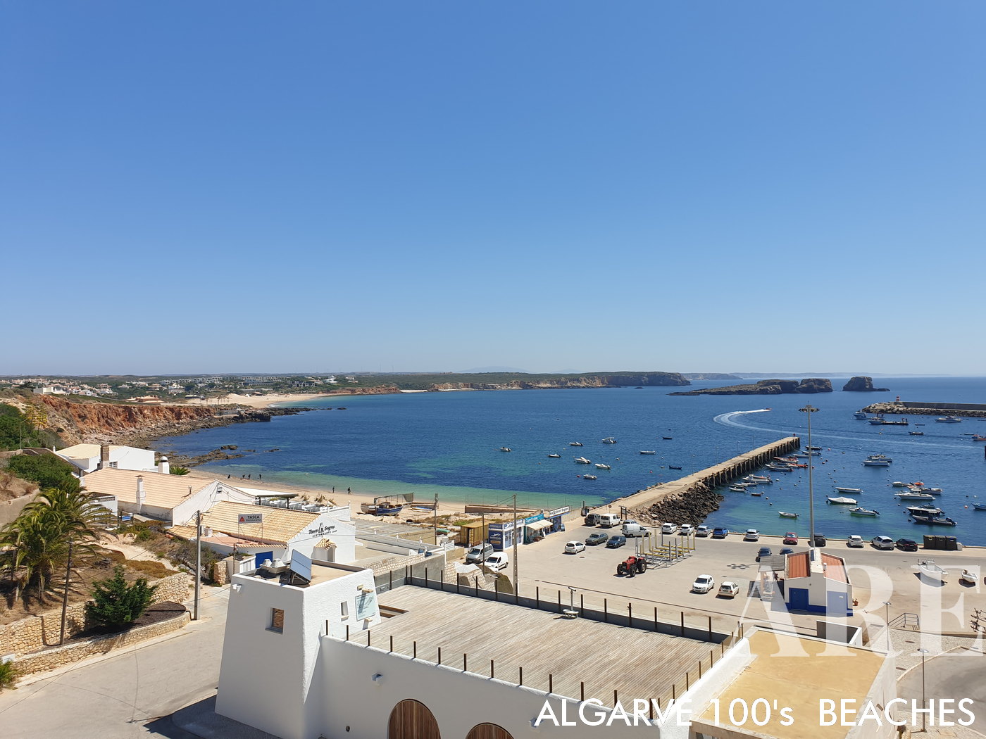
The serene vista encompassing Balleira in Sagres, with the majestic Martinhal Beach tracing the distant horizon.
The serene vista encompassing Balleira in Sagres, with the majestic Martinhal Beach tracing the distant horizon.

  1. see on the map
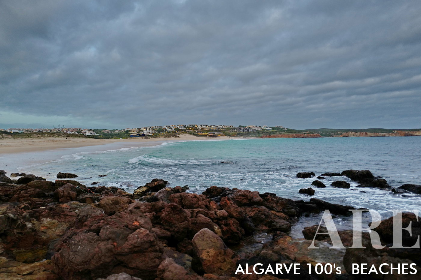
December dawn breaks over Martinhal Beach, bathing the winter landscape in soft, ethereal light, offering a serene start to the night.

December dawn breaks over Martinhal Beach, bathing the winter landscape in soft, ethereal light, offering a serene start to the night.

  1. see on the map
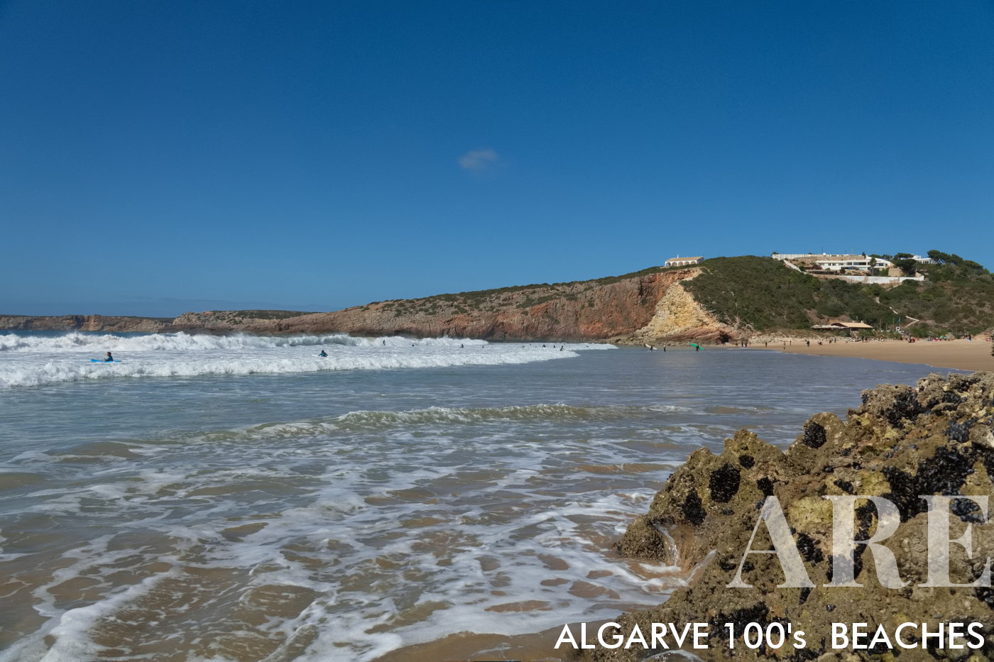
Southern swell at Zavial Beach, the south coast comes alive with the dramatic spectacle of the waves, showcasing nature's raw power and beauty

Southern swell at Zavial Beach, the south coast comes alive with the dramatic spectacle of the waves, showcasing nature’s raw power and beauty
  1. see on the map
Standing with feet in the water at Zavial Beach, a sweeping view extends from east to west, revealing the expansive shoreline in all its natural glory.
Standing with feet in the water at Zavial Beach, a sweeping view extends from east to west, revealing the expansive shoreline in all its natural glory.

  1. see on the map
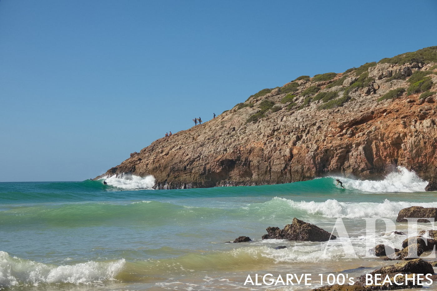
At Zavial Beach, the western waves crash dramatically, amplified by the nearby cliff. Silhouettes of surfers dot the cliff top, while others ride the waves below, creating a dynamic tableau of adventure and nature's power.

At Zavial Beach, the western waves crash dramatically, amplified by the nearby cliff. Silhouettes of surfers dot the cliff top, while others ride the waves below, creating a dynamic tableau of adventure and nature’s power.
  1. see on the map
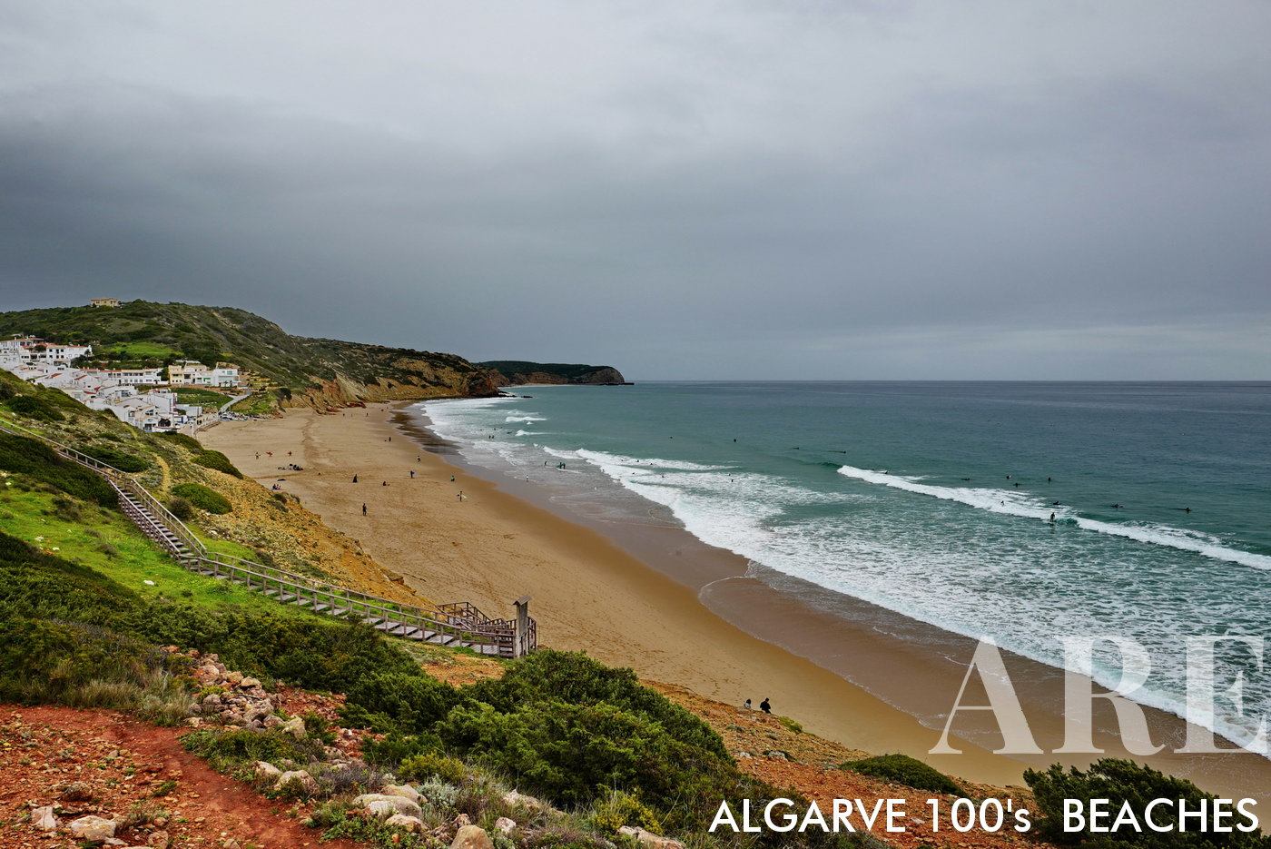
January brings surfers to Salema Beach, nestled in the bay in front of the quaint Salema village. The scene captures the charm of seaside living, perfectly paired with the thrill of riding winter waves.
January brings surfers to Salema Beach, nestled in the bay in front of the quaint Salema village. The scene captures the charm of seaside living, perfectly paired with the thrill of riding winter waves.

  1. see on the map
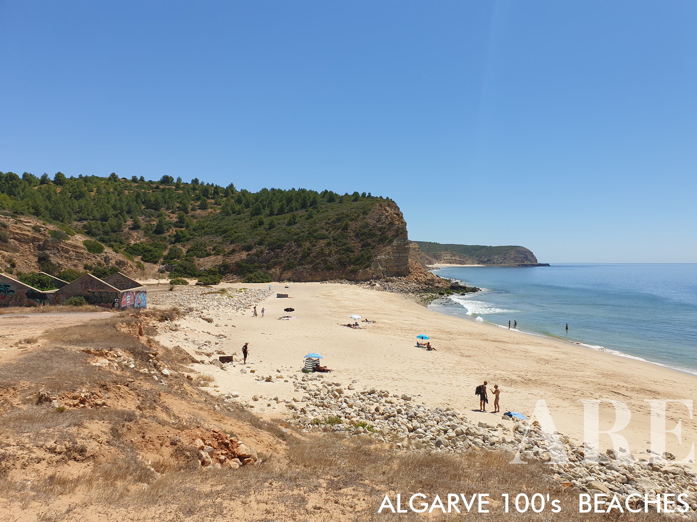
Boca do Rio Beach, a small protected bay beautifully cradled by surrounding nature, offers a serene and secluded retreat away from the bustle.
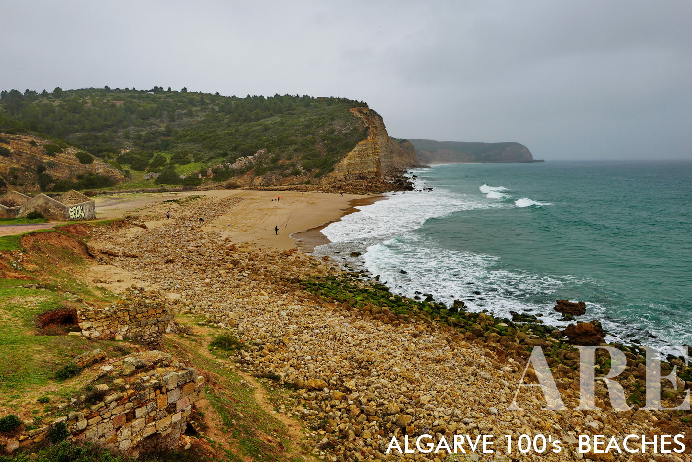
Boca do Rio Beach, a small protected bay beautifully cradled by surrounding nature, offers a serene and secluded retreat away from the bustle.

  1. see on the map
In winter, Boca do Rio Beach transforms into a tranquil landscape, its quiet charm accentuated by the cooler season
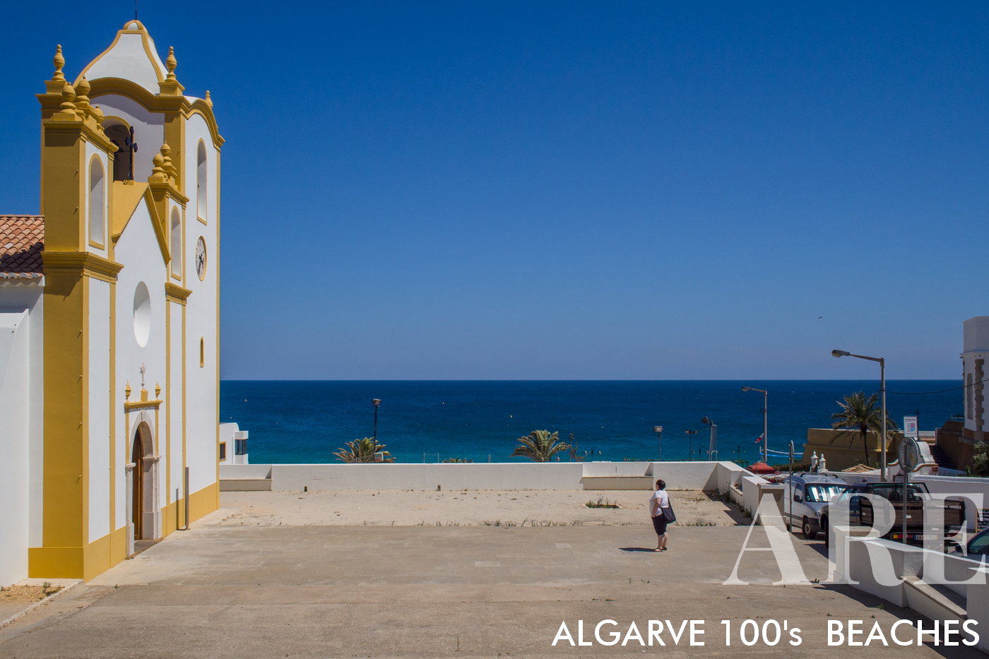
In winter, Boca do Rio Beach transforms into a tranquil landscape, its quiet charm accentuated by the cooler season

  1. see on the map
Cabanas Velhas beach in Almadena

Cabanas Velhas beach in Almadena

  1. see on the map
Cabanas Velhas beach in Almadena

Cabanas Velhas beach in Almadena

  1. see on the map
Cabanas Velhas beach in Almadena

Cabanas Velhas beach in Almadena

  1. see on the map

032 burgau beach

  1. see on the map
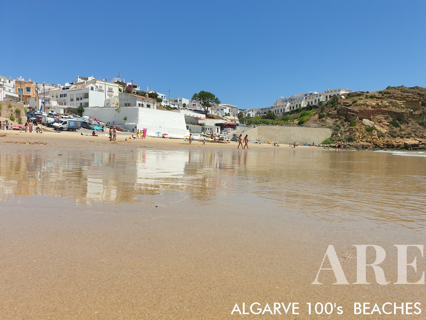
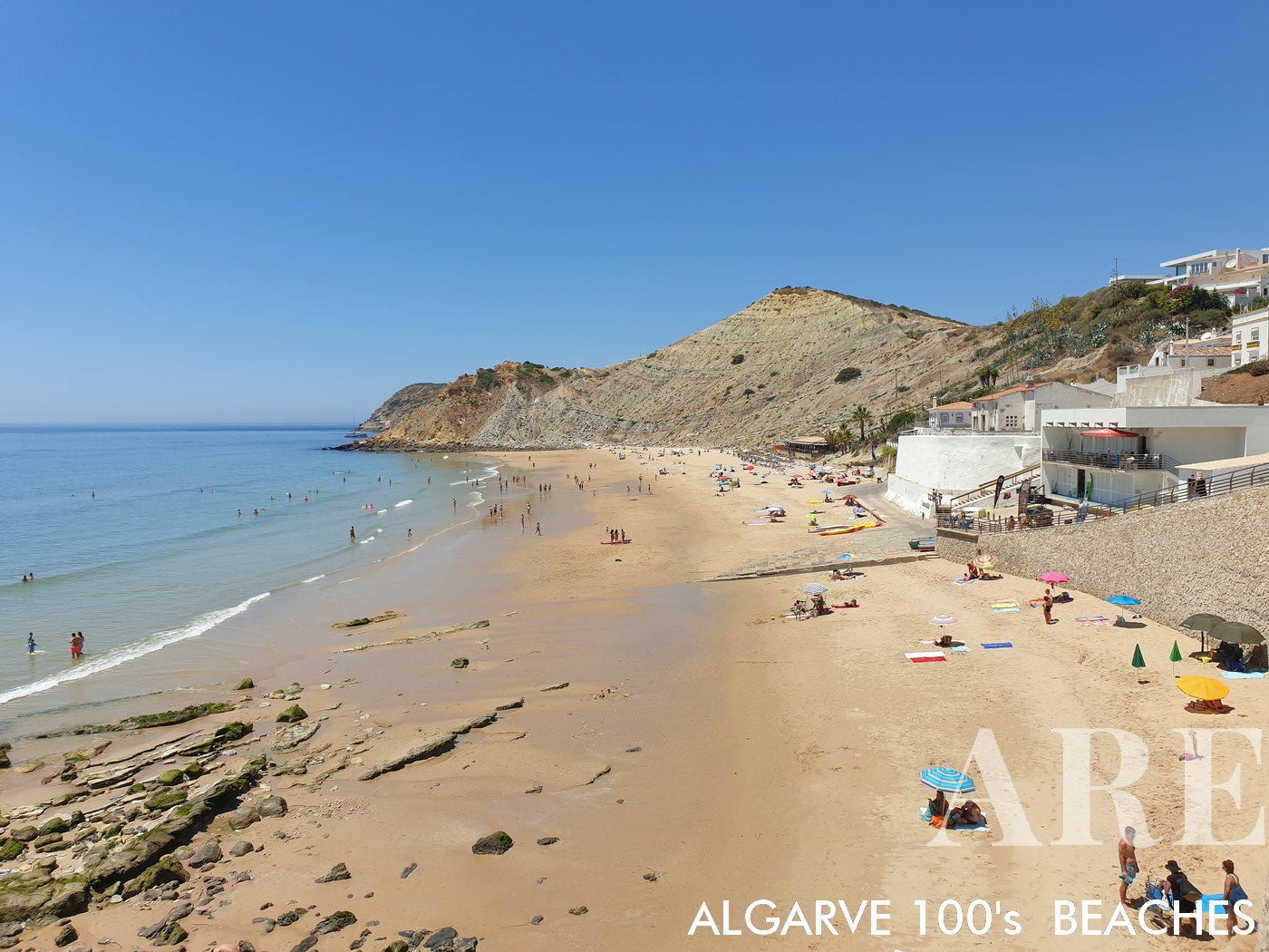
Burgau beach

Burgau beach

  1. see on the map
Burgau beach

Burgau beach

  1. see on the map

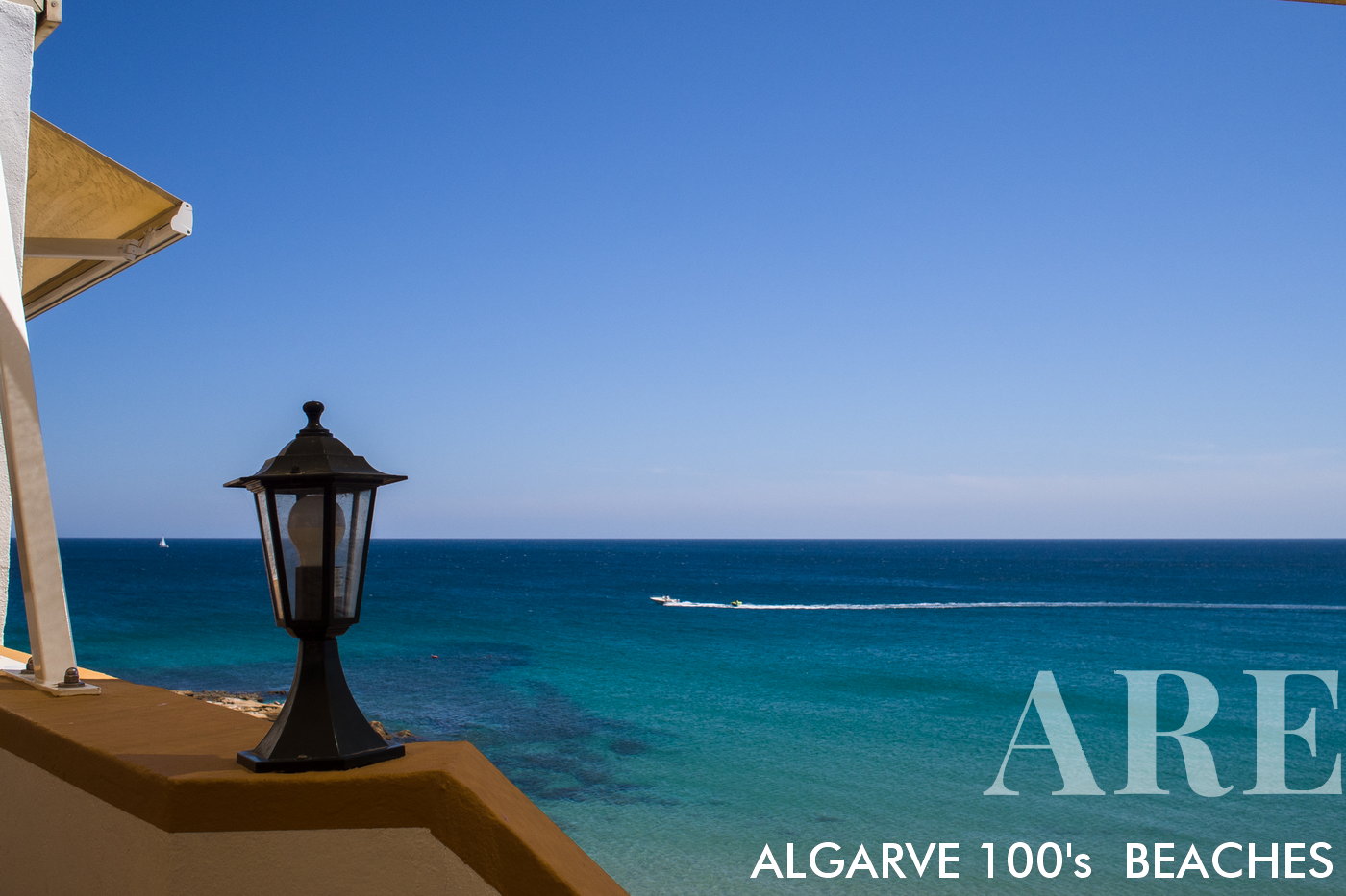
Praia da Luz is located at a distance of 7 kilometers from Lagos. Praia da Luz is a traditional fishing village. Praia da Luz is also known as Vila da Luz. In recent years, Vila da Luz has had a great tourist growthPraia da Luz está localizada a uma distância de 7 kilometros de Lagos. Praia da Luz é uma aldeia tradicional piscatória. Praia da Luz é também conhecida por Vila da Luz. Nos últimos anos a Vila da Luz teve um grande crescimento turístico
 

  1. see on the map

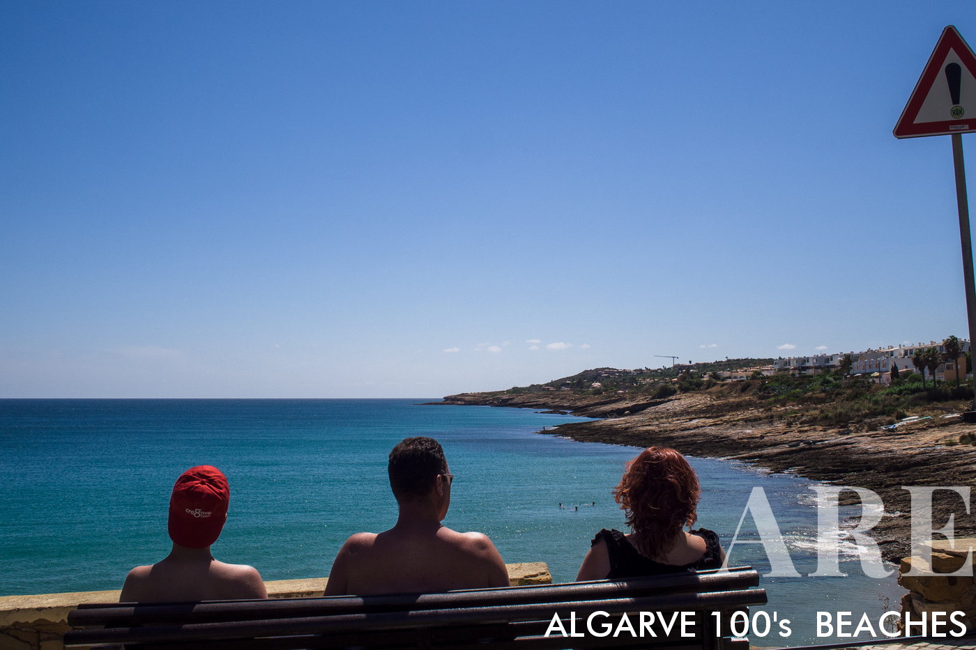
On the coast of Vila da Luz we can enjoy truly peaceful views of the seaNo litoral da Vila da Luz podemos apreciar vistas de mar verdadeiramente tranquilas
 

  1. see on the map

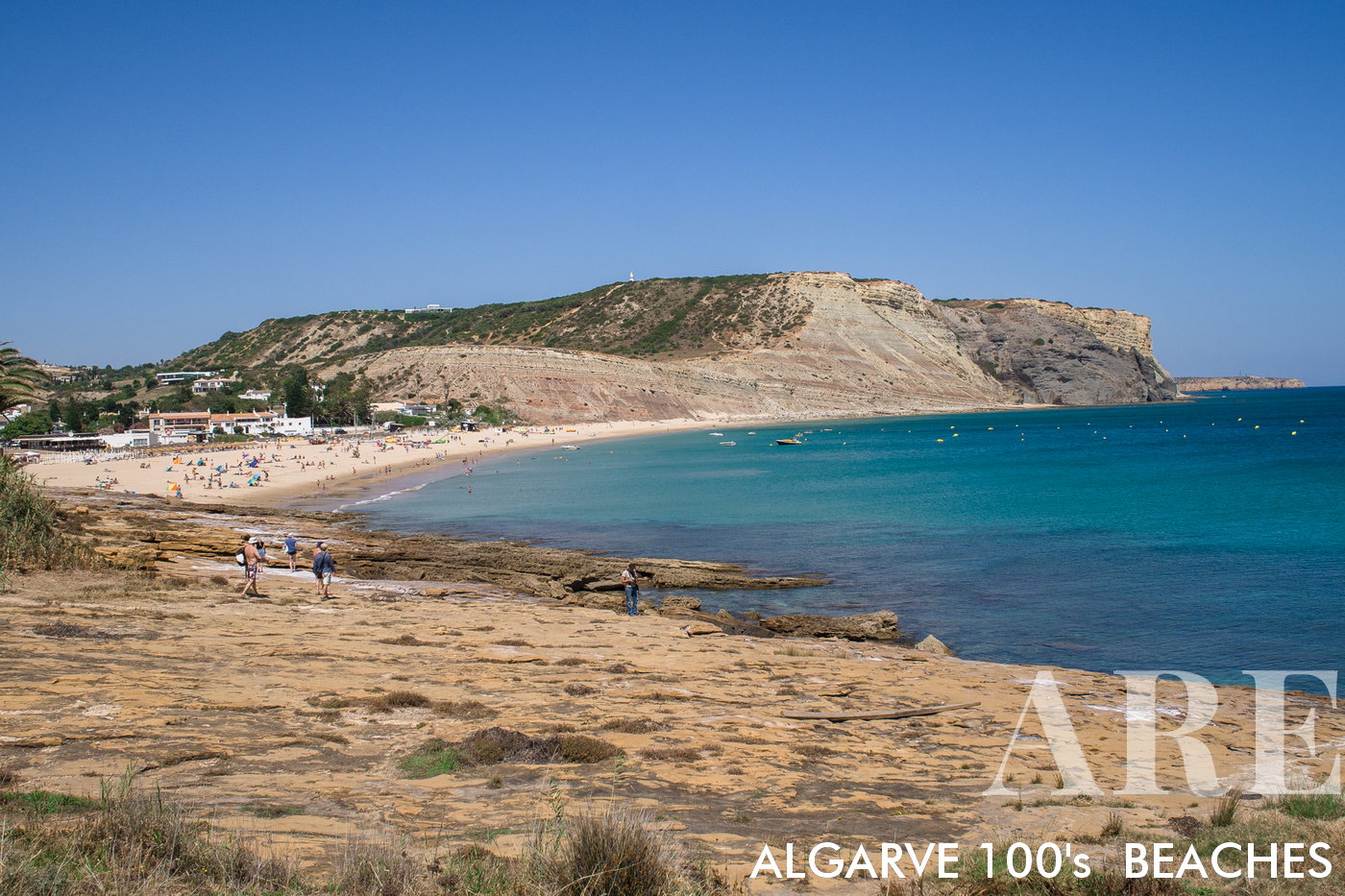
Praia da Luz is divided into two parts. The part of the beach with rocks is on the west side of the village.A praia da Luz divide-se em duas partes. A parte da praia com rochas fica do lado poente da vila.
 

  1. see on the map

West side of Vila da LuzZona oeste da Vila da Luz


  1. see on the map

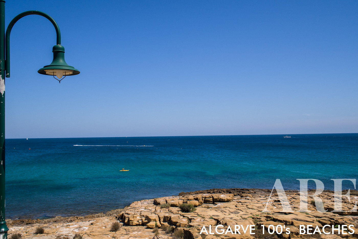
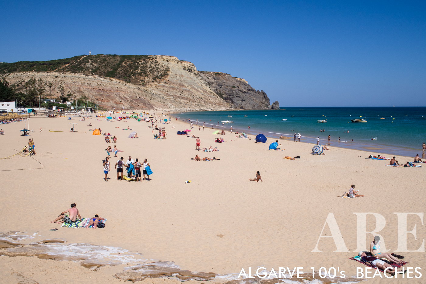
The best known Praia da Luz is the eastern part, located in the lower part of the village. In this cove we can find a beach about 1000 meters long. At the top of the beach we find beachside restaurants with traditional meals of grilled fish and other regional dishes.A praia da luz mais conhecida é a zona nascente, situada na zona mais baixa da vila. Nesta enseada podemos encontrar uma praia com cerca de 1000 metros de extensão. No topo da praia encontramos restaurantes de apoio à praia com refeições tradicionais de peixe grelhados e outros pratos regionais
 

  1. see on the map

The two parts of Praia da Luz are connected by a coastal path, ideal for walking.As duas partes da praia da Luz estão ligadas por um passeio litoral ideal para o passeio.
 

  1. see on the map
Luz west side

OLYMPUS DIGITAL CAMERA

  1. see on the map

This photograph shows Praia da Luz in early summerEsta fotografia mostra a Praia da Luz no principio do verão
 

  1. see on the map

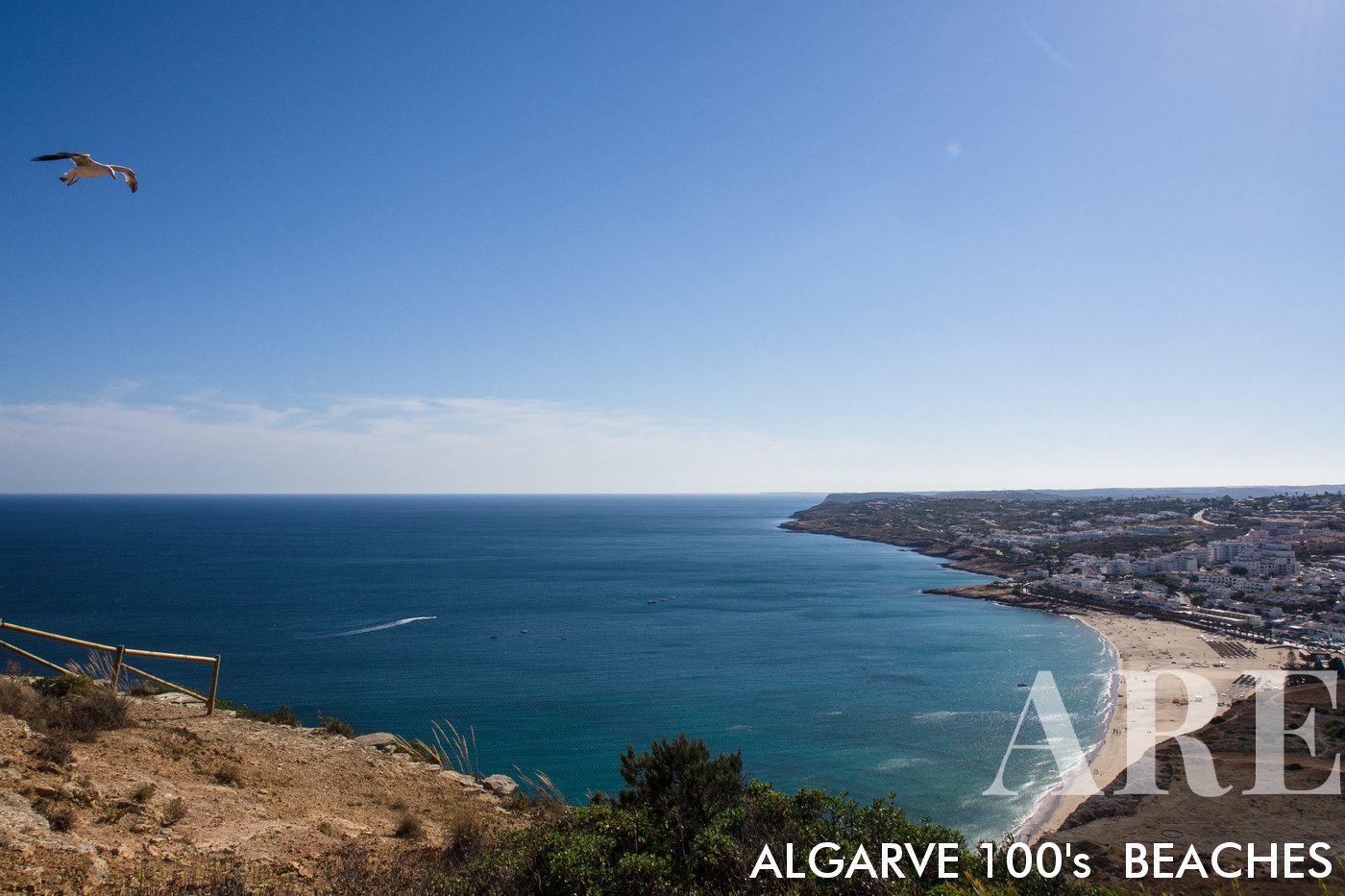
On the eastern side of Praia da Luz, there is a hill from which it is possible to see a panoramic view over the whole of Vila da Luz, the beach and the sea.Do lado nascente da Praia da Luz existe um cerro de onde é pssível avistar uma paisagem panorâmica sobre a toda a Vila da Luz, a praia e mar
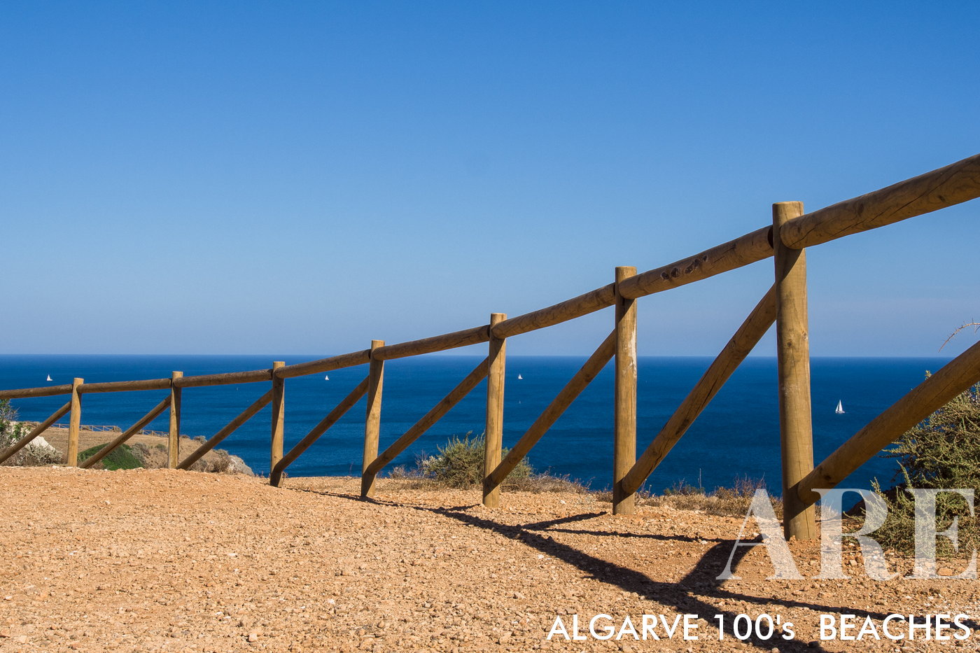
 

  1. see on the map

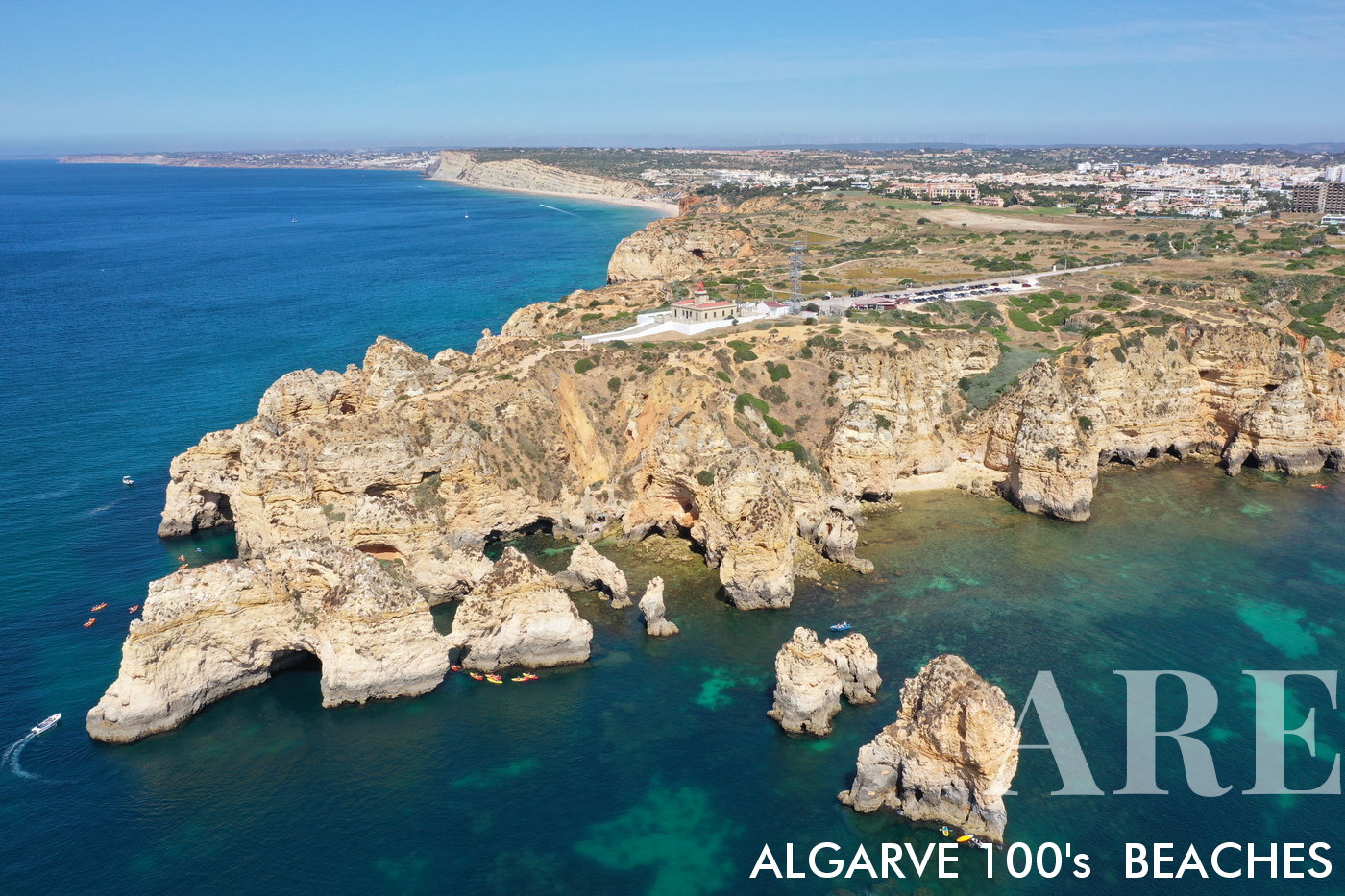
High cliff located east of Praia da Luz, from where we can observe the sea and walk along the cliff to the city of LagosCerro situado a nascente da praia da Luz, de onde podemos observar o mar e caminhar ao longo da falésia até à cidade de Lagos
 

  1. see on the map
Porto de Môs beach view from west to east, with the village of Porto de môs (Lagos)

Porto de Môs beach view from west to east, with the village of Porto de môs (Lagos)

  1. see on the map
Porto de Môs beach

Porto de Môs beach

  1. see on the map
Porto de Môs beach

Porto de Môs beach

  1. see on the map
Porto de Môs beach

Porto de Môs beach

  1. see on the map
Ponta da Piedade, Algarve region, Portugal

Ponta da Piedade, Algarve region, Portugal

  1. see on the map
Balança beach in Lagos

Balança beach in Lagos

  1. see on the map
Balança beach

Balança beach

  1. see on the map
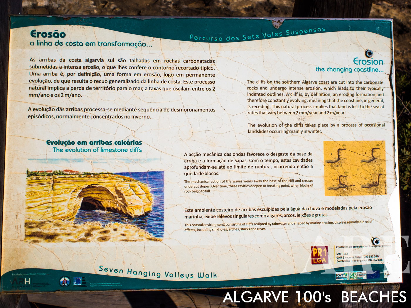
Ponta da Piedade is characterized by towering limestone cliffs that have been eroded over time by wind and water, creating unique formations, grottoes, and sea caves. Known for its stunning natural beauty, with series of cliffs, rock formations, and golden sand beaches, with panoramic views of the Atlantic Ocean. Situated near the town of Lagos, visitors to Ponta da Piedade normally explore the area by taking a boat tour or walking along the cliff-top pathways.
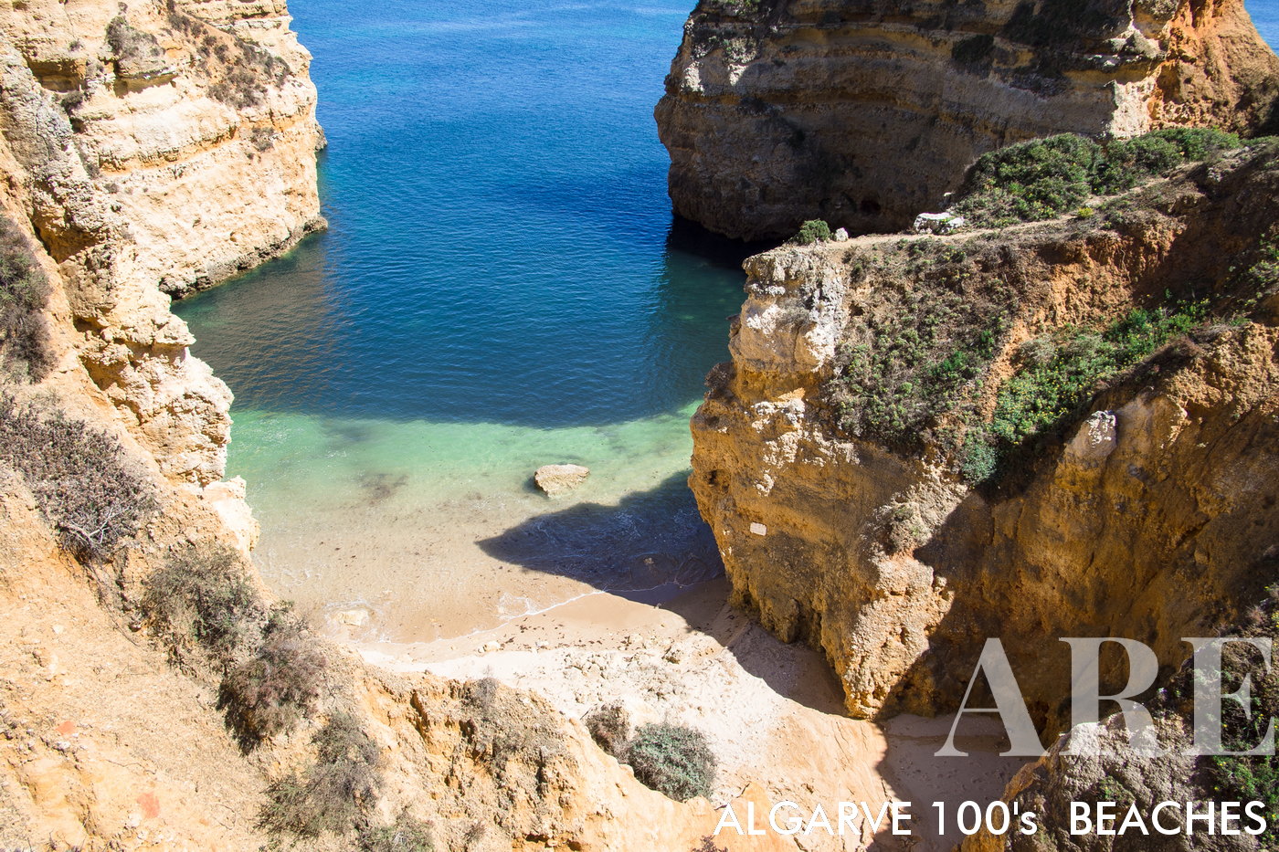
Ponta da Piedade is characterized by towering limestone cliffs that have been eroded over time by wind and water, creating unique formations, grottoes, and sea caves. Known for its stunning natural beauty, with series of cliffs, rock formations, and golden sand beaches, with panoramic views of the Atlantic Ocean.
Situated near the town of Lagos, visitors to Ponta da Piedade normally explore the area by taking a boat tour or walking along the cliff-top pathways.

  1. see on the map

A praia da Boneca (também conhecida por praia dos Pinheiros) é uma pequena praia com acesso dificil por entre as falésiasA praia da Boneca (também conhecida por praia dos Pinheiros) é uma pequena praia com acesso dificil por entre as falésias
 

  1. see on the map

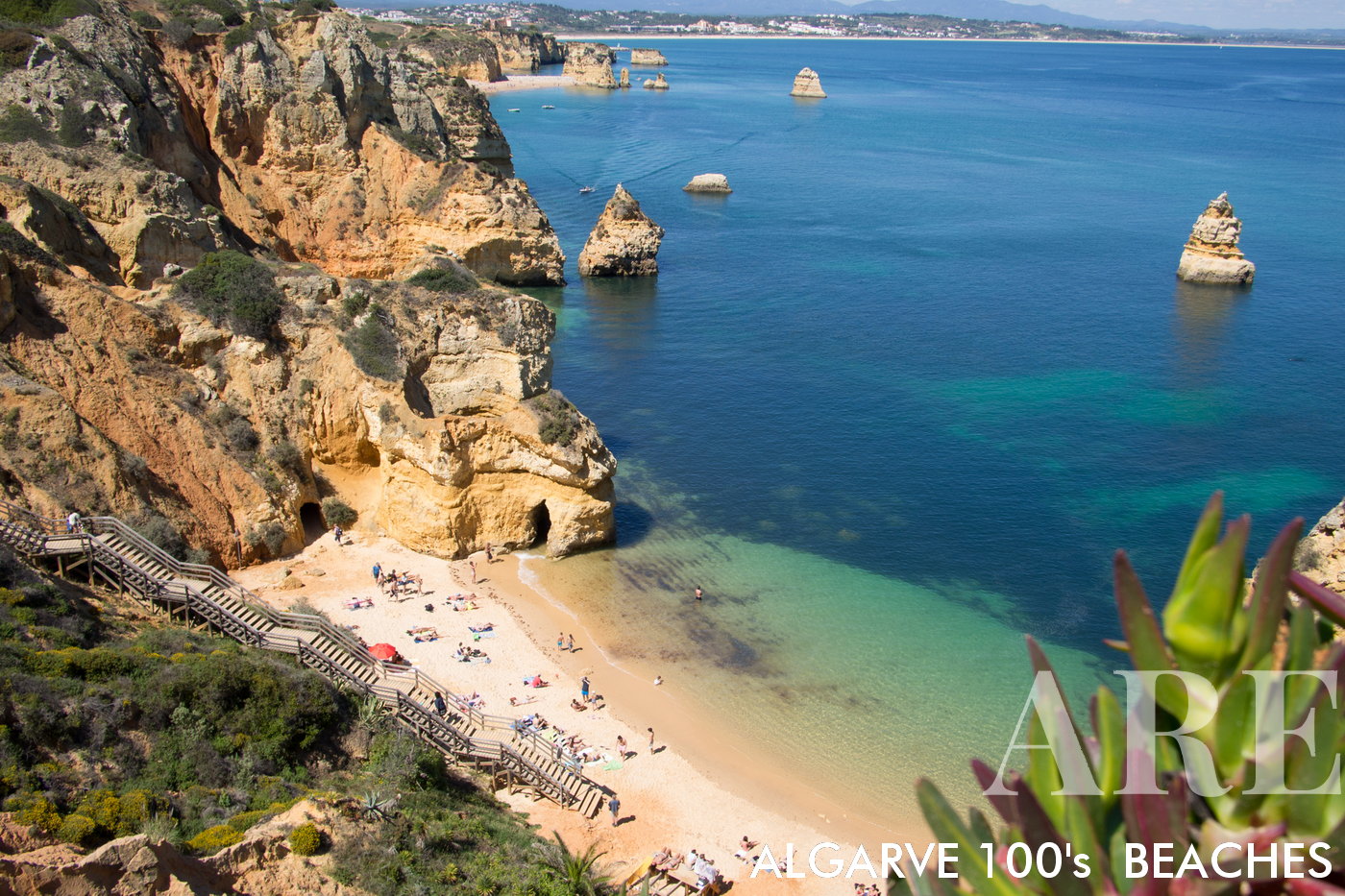
A praia do Camilo é uma praia com acesso feito por uma enorme escadaria de madeira. No topo da falésia existe um restaurante com o mesmo nome da praia: "restaurante do Camilo". Deve ser coincidência!A praia do Camilo é uma praia com acesso feito por uma enorme escadaria de madeira. No topo da falésia existe um restaurante com o mesmo nome da praia: “restaurante do Camilo”. Deve ser coincidência!
 

  1. see on the map

039 dona ana

  1. see on the map
Pinhão beach

Pinhão beach

  1. see on the map
Pinhão beach

Pinhão beach

  1. see on the map
Estudantes beach, in Lagos, Portugal

Estudantes beach, in Lagos, Portugal

  1. see on the map
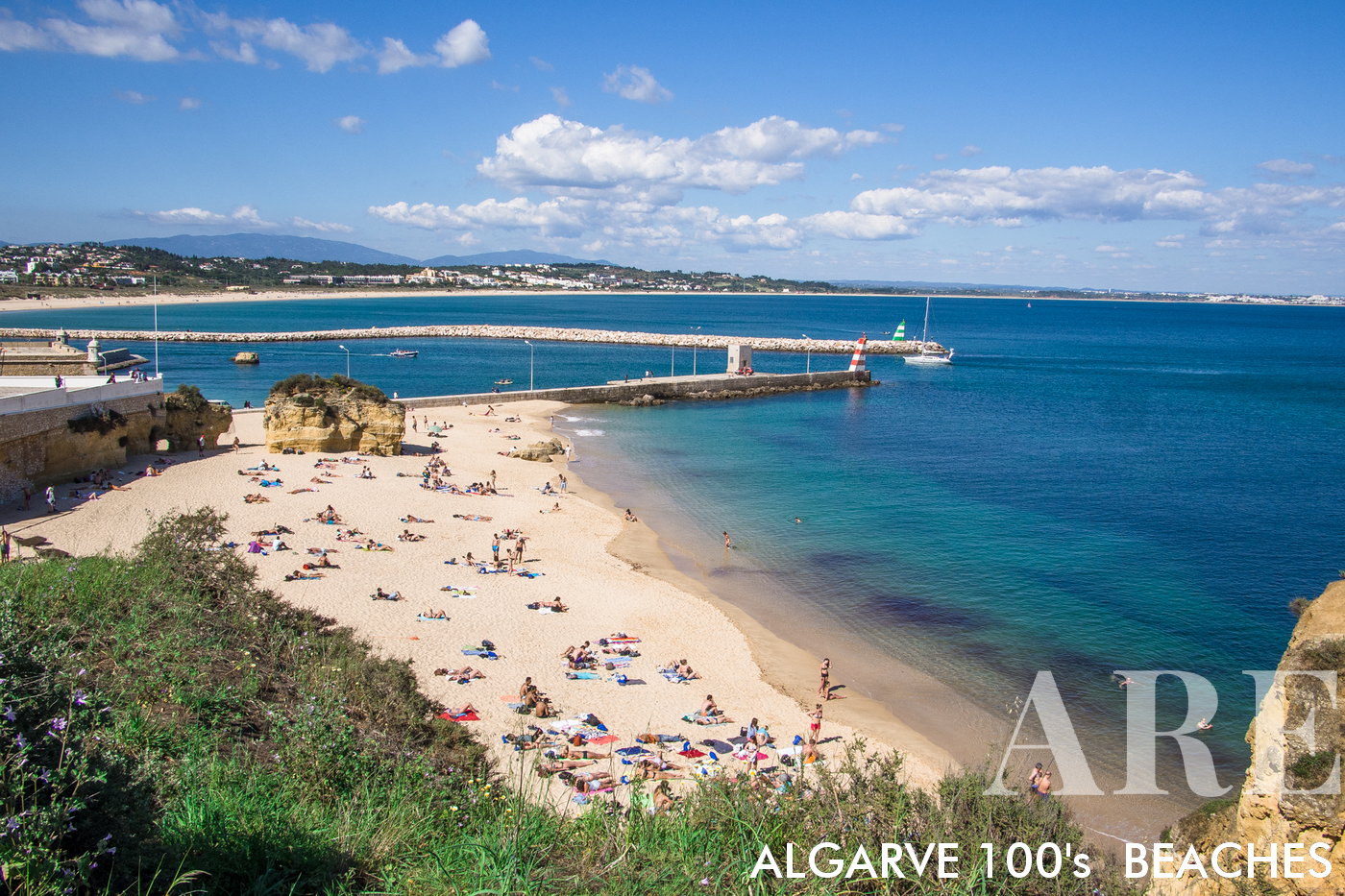
Batata Beach

Batata Beach
West of Lagos Marina, city-proximate. Ideal for quick getaways. Entrance is adjacent to the marina pontoon.
  1. see on the map

42 praia da batata 02

  1. see on the map
Batata beach view from the Pontoon

OLYMPUS DIGITAL CAMERA

  1. see on the map
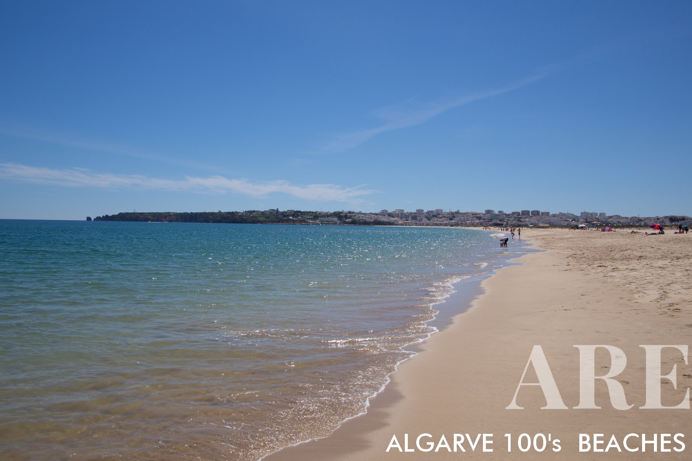
Meia Praia beach

Meia Praia beach
East of Lagos City, 5km stretch of sand, ideal for long walks. The beach access from the city is made from marina bridge.
  1. see on the map
Roger's Aerial Meia Praia

Roger’s Aerial Meia Praia
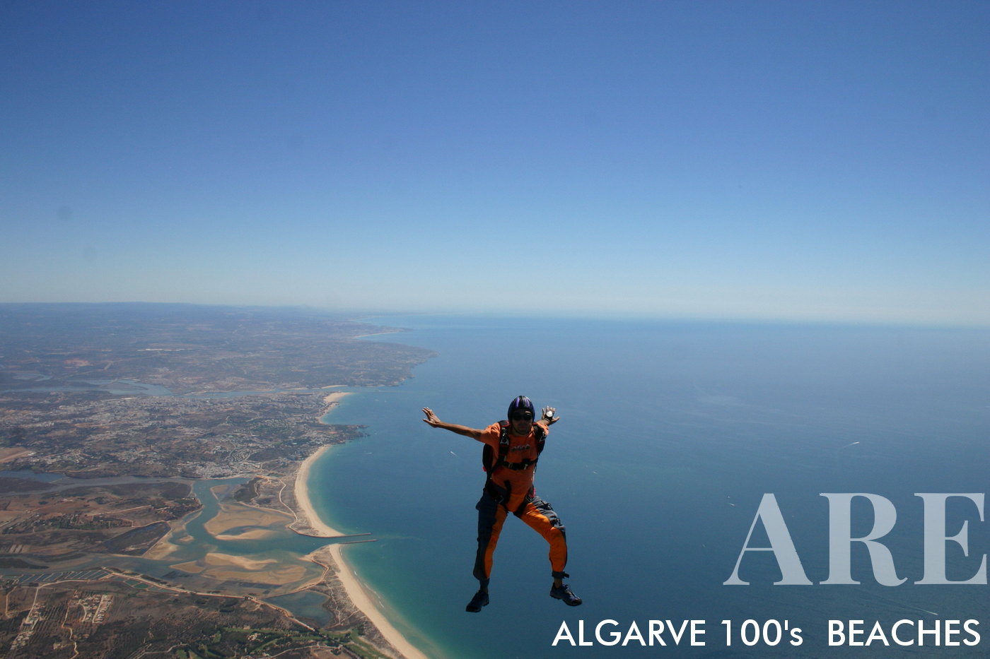
Skydiver Roger glides above Algarve’s mesmerizing coast, showcasing beaches: Meia Praia, Ria do Alvor, Alvor Beach, Praianha, Barranco das Canas, Vau, Careanos, Amado, Tres Castelos, and Rocha.
  1. see on the map
Meia Praia from Palmares Golf

Meia Praia from Palmares Golf
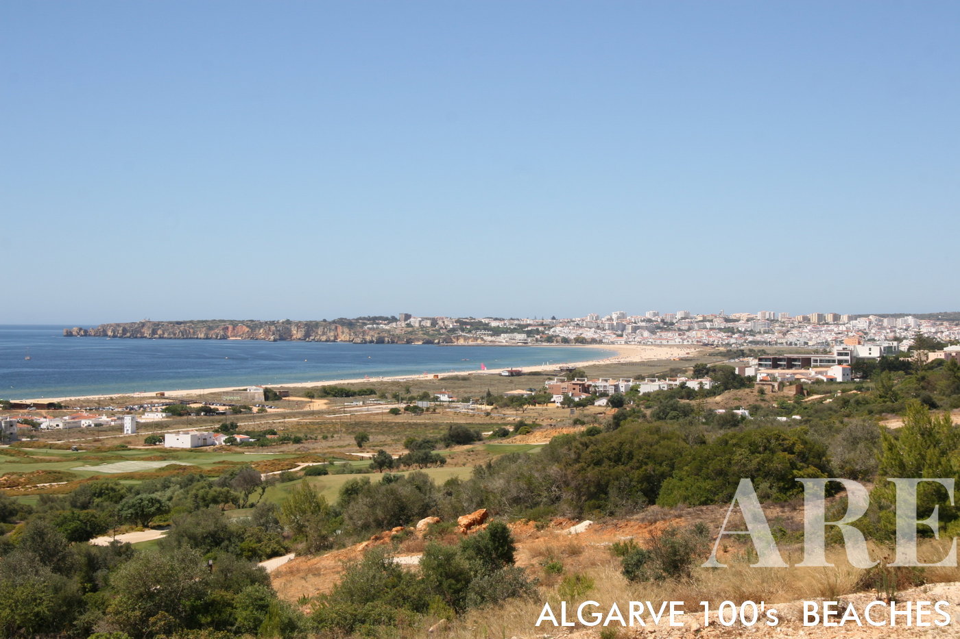
Scenic vantage from Palmares greens, framing Meia Praia’s expansive coastline. A harmonious blend of golf and seaside splendor.
  1. see on the map
Alvor beach from above

Alvor beach from above

  1. see on the map
Alvor Beach

Alvor Beach
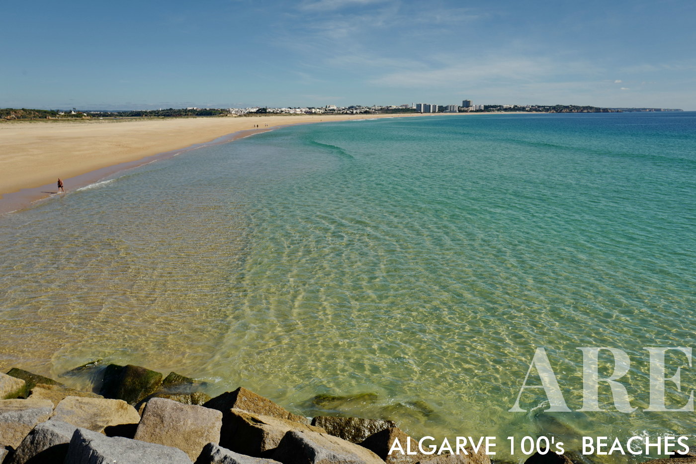
Spanning 3.3 km to the east of Meia Praia. Features a natural wooden walkway on the west, juxtaposed against the limestone caves to the east.

  1. see on the map
Alvor beach from port mole

Alvor beach from port mole

  1. see on the map
Prainha Beach

Prainha Beach
Located east of Alvor, en route to Portimão, Portugal.

  1. see on the map
Prainha beach, Alvor to Portimão, Portugal

Prainha beach, Alvor to Portimão, Portugal

  1. see on the map
Prainha beach limestone caves, Alvor to Portimão, Portugal

Prainha beach limestone caves, Alvor to Portimão, Portugal

  1. see on the map
Prainha beach hidden beach, Alvor to Portimão, Portugal

Prainha beach hidden beach, Alvor to Portimão, Portugal

  1. see on the map
Prainha beach, Alvor to Portimão, Portugal

Prainha beach, Alvor to Portimão, Portugal

  1. see on the map
Prainha beach, Alvor to Portimão, Portugal

Prainha beach, Alvor to Portimão, Portugal

  1. see on the map
Prainha beach from the cliff, Alvor to Portimão, Portugal

Prainha beach from the cliff, Alvor to Portimão, Portugal

  1. see on the map
Prainha beach, Alvor to Portimão, Portugal

Prainha beach, Alvor to Portimão, Portugal

  1. see on the map
Prainha beach, Alvor to Portimão, Portugal

Prainha beach, Alvor to Portimão, Portugal

  1. see on the map
Prainha beach, Alvor to Portimão, Portugal

Prainha beach, Alvor to Portimão, Portugal

  1. see on the map
Prainha beach, Alvor to Portimão, Portugal

Prainha beach, Alvor to Portimão, Portugal

  1. see on the map
Prainha beach, Alvor to Portimão, Portugal

Prainha beach, Alvor to Portimão, Portugal

  1. see on the map
Barranco das Canas beach, west of Portimão

Barranco das Canas beach, west of Portimão

  1. see on the map
Barranco das Canas

Barranco das Canas

  1. see on the map
Barranco das Canas

Barranco das Canas

  1. see on the map
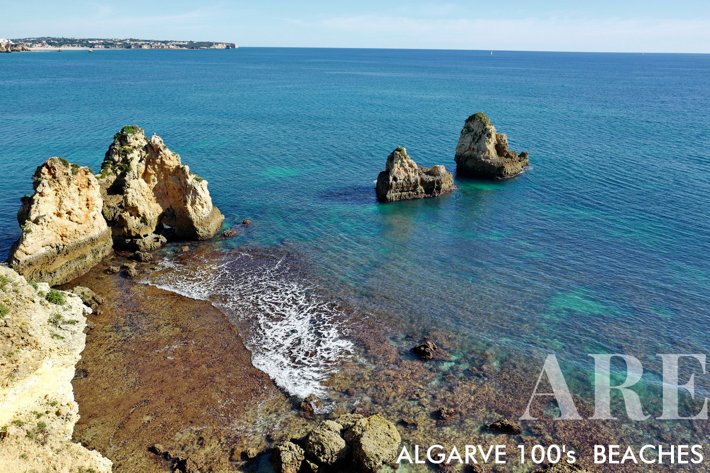
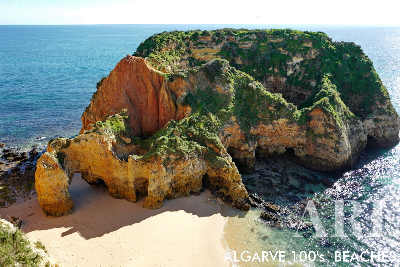
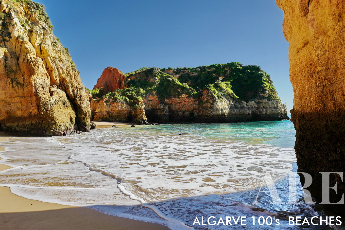
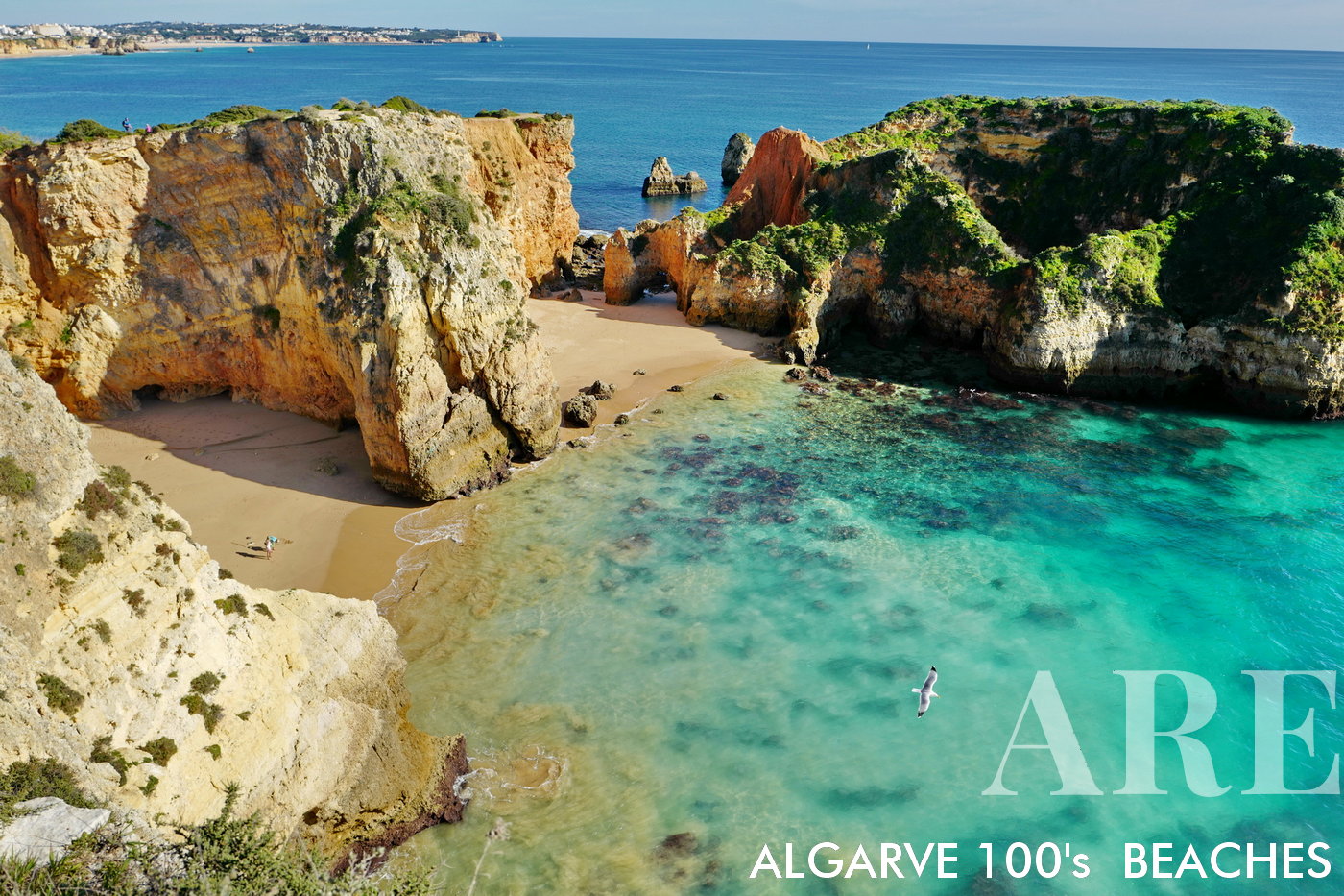
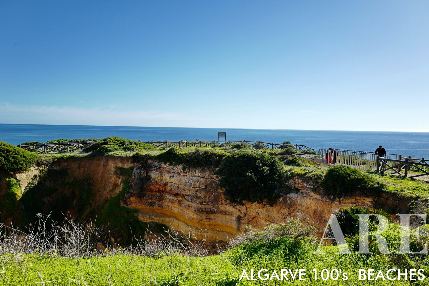
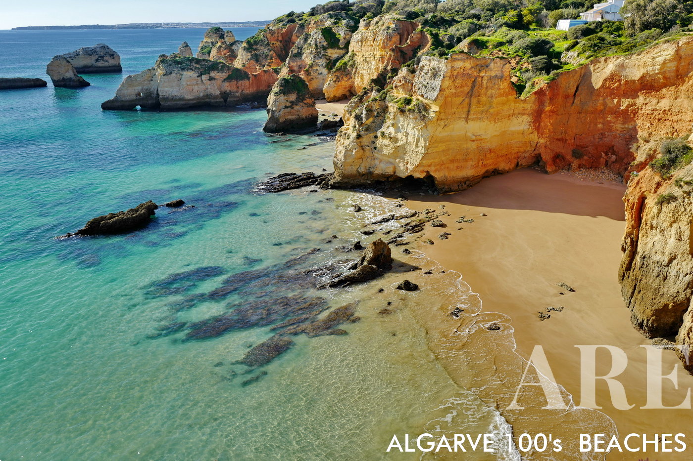
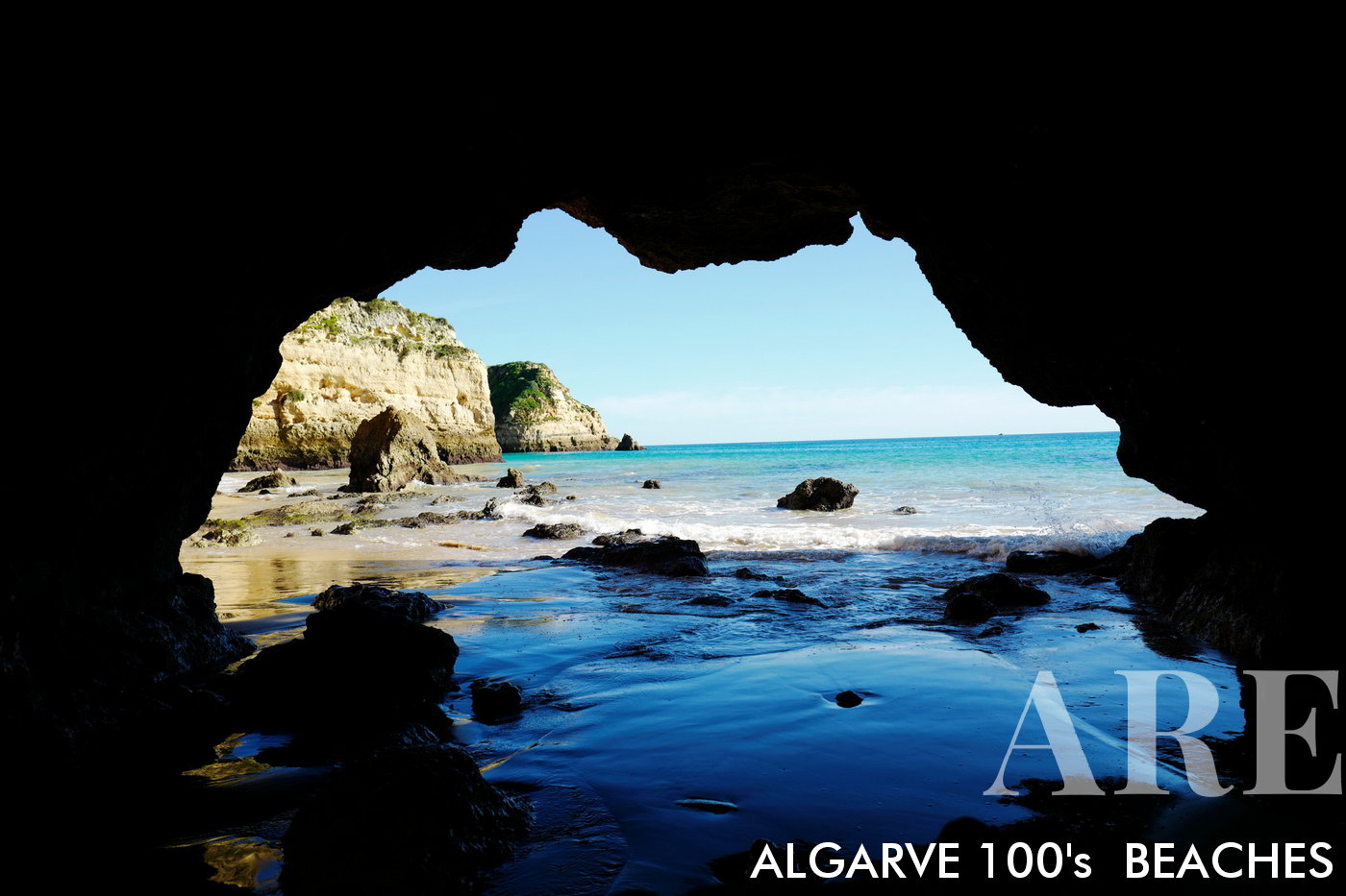
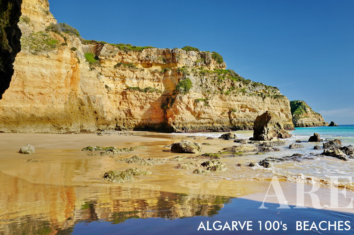
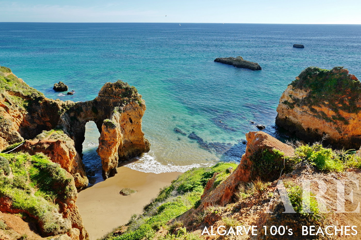
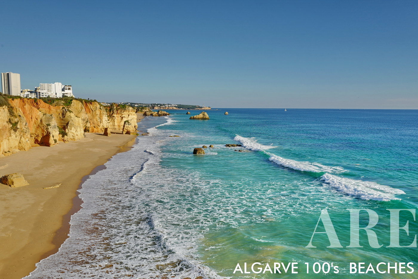
Secreta beach, located between Alvor and Portimão, several small beaches with difficult access, with a fantastic pedestrian route along the cliff...

Secreta beach, located between Alvor and Portimão, several small beaches with difficult access, with a fantastic pedestrian route along the cliff…
  1. see on the map
Vau beach

Vau beach

  1. see on the map
Vau beach

Vau beach

  1. see on the map
Careanos beach

Careanos beach

  1. see on the map
Amado Beach, situated in the charming city of Portimão on Portugal's southern coast, is a tranquil oasis distinct from the well-known Amado Surf Beach further west. This lovely spot is nestled in a quieter part of the city, providing a serene escape from the bustle.
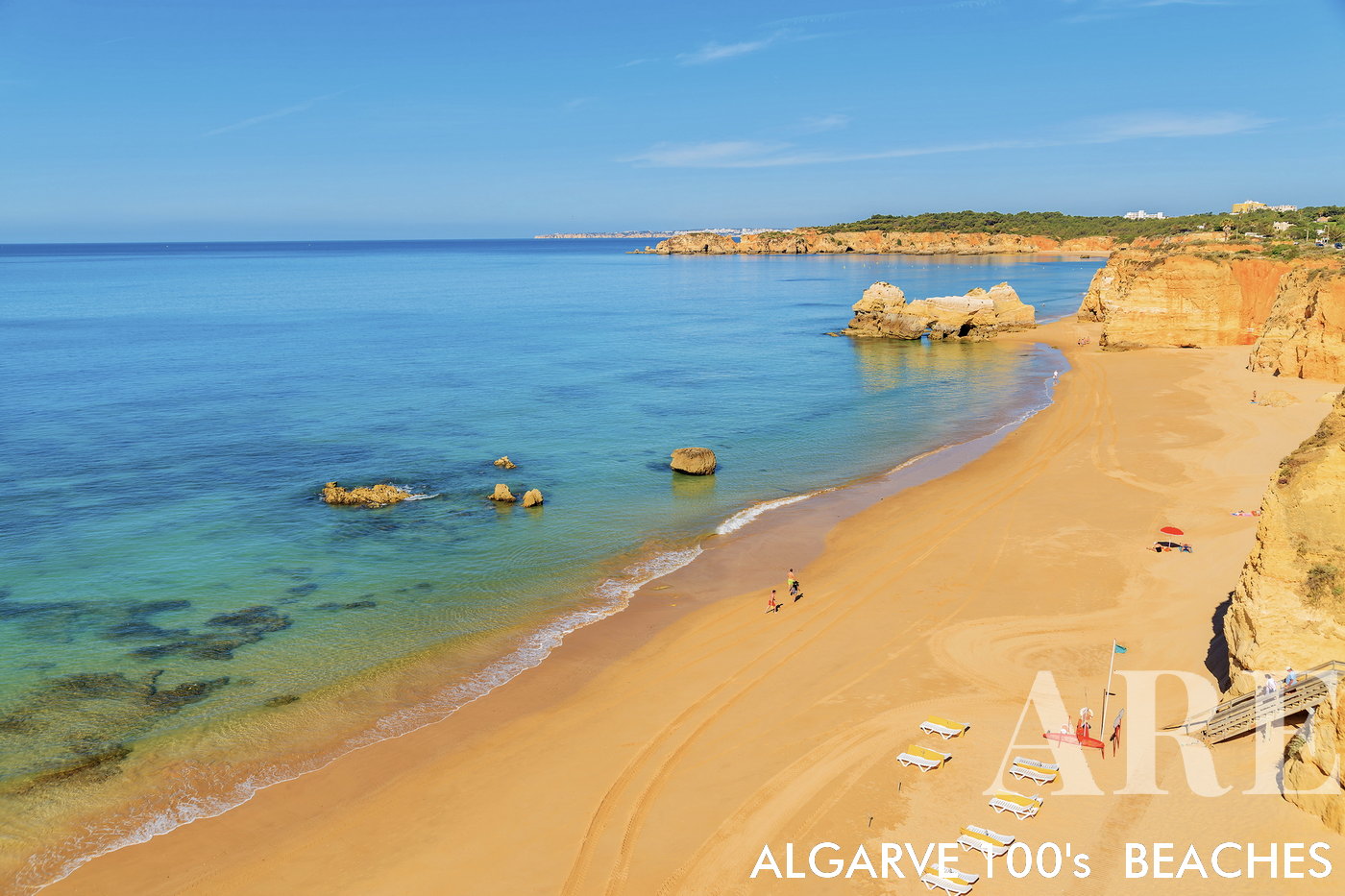
Amado Beach, situated in the charming city of Portimão on Portugal’s southern coast, is a tranquil oasis distinct from the well-known Amado Surf Beach further west. This lovely spot is nestled in a quieter part of the city, providing a serene escape from the bustle.

  1. see on the map
Três Castelos beach

Três Castelos beach

  1. see on the map
Três Castelos beach

Três Castelos beach

  1. see on the map
Sunrise at Três Castelos beach, with fisherman in the horizon

Sunrise at Três Castelos beach, with fisherman in the horizon

  1. see on the map
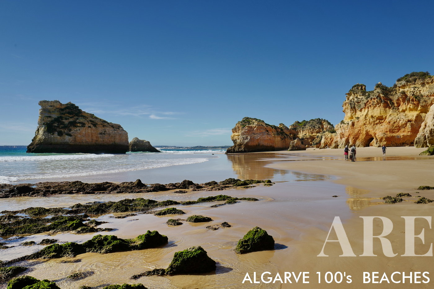
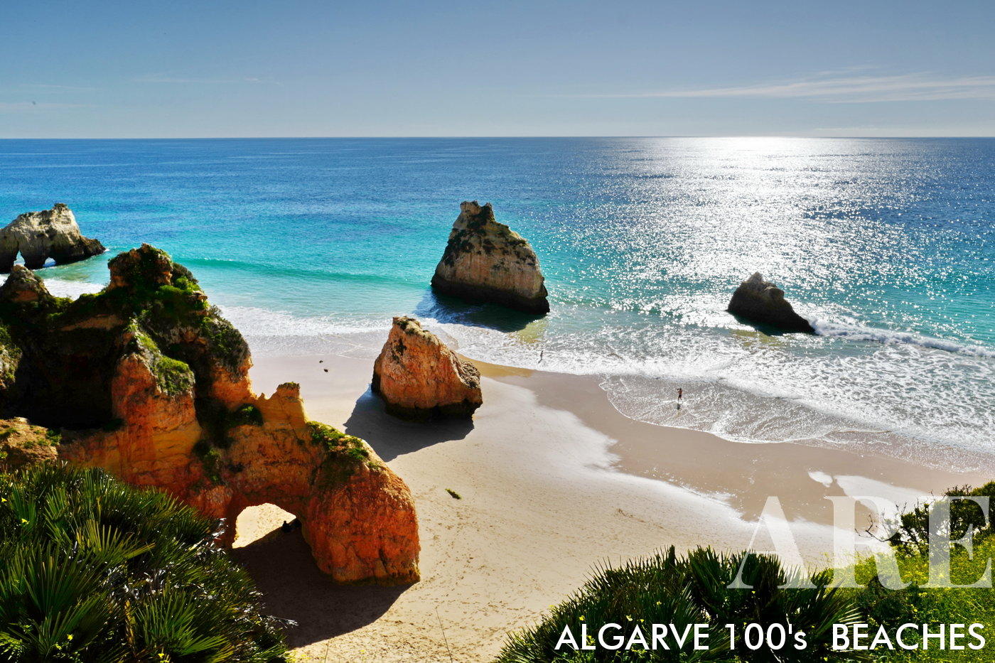
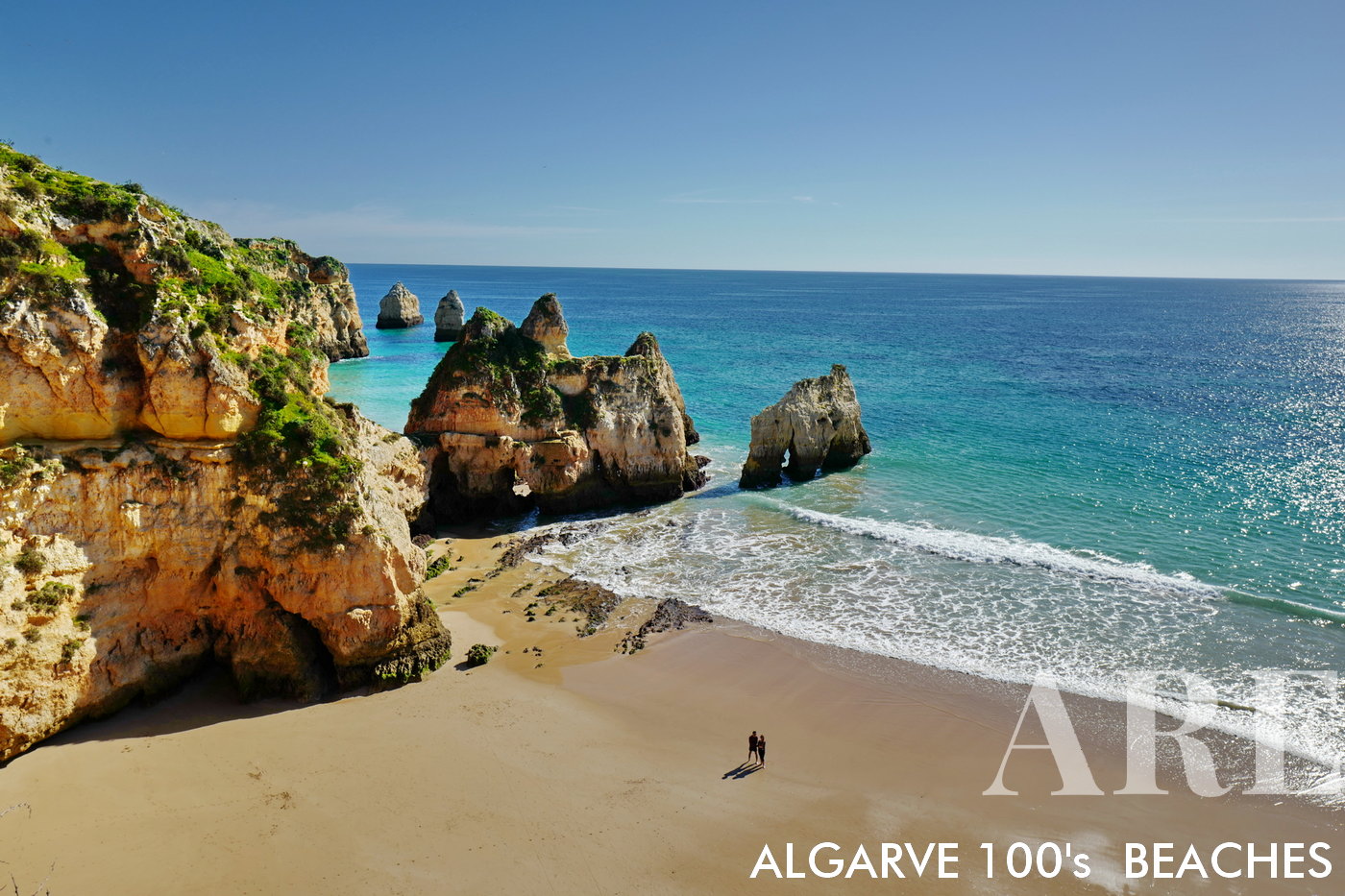
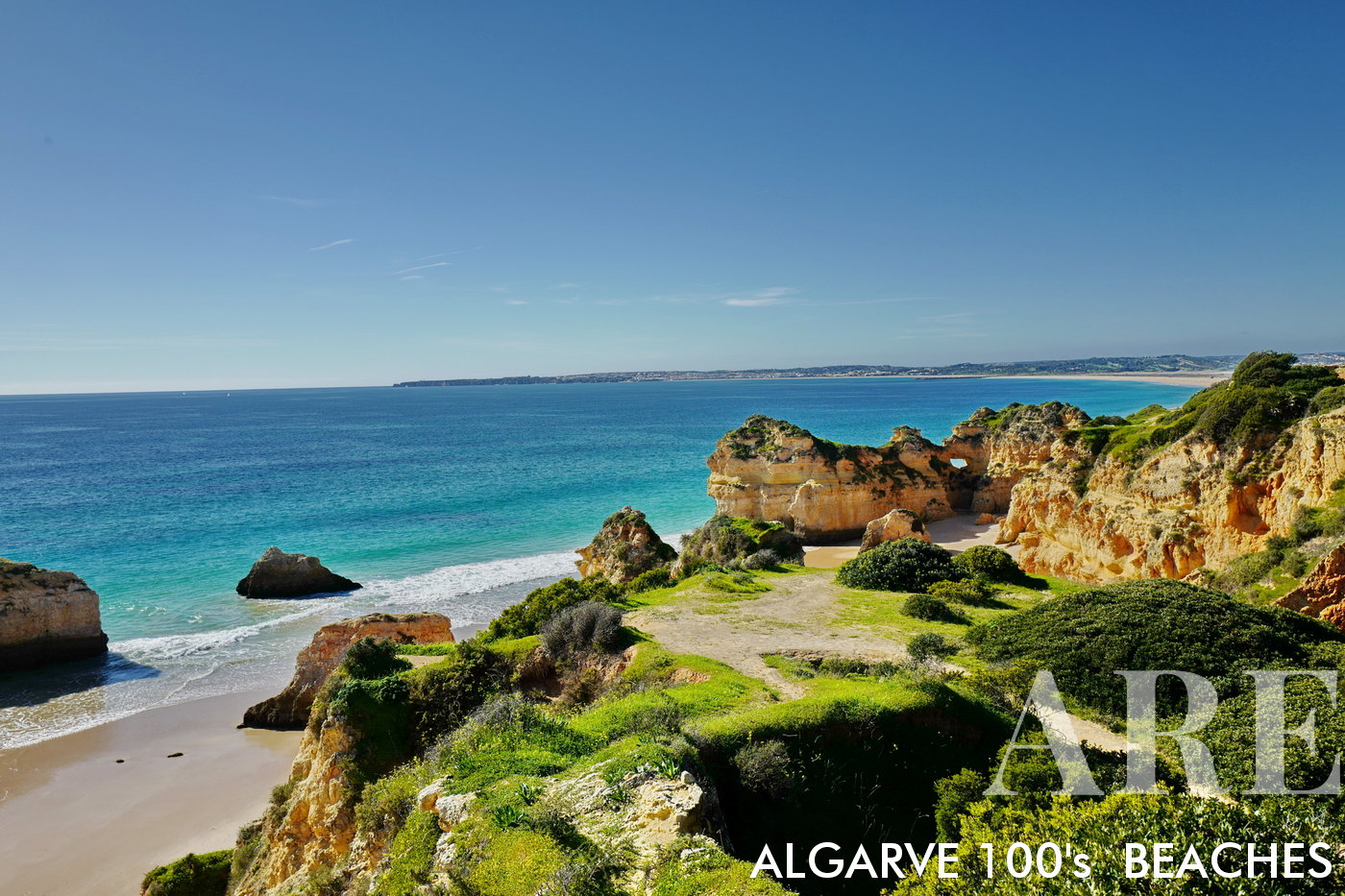
Três irmãos beach

Três irmãos beach

  1. see on the map
Três irmãos beach

Três irmãos beach

  1. see on the map
Três irmãos beach

Três irmãos beach

  1. see on the map
Praia da Rocha

Praia da Rocha

  1. see on the map
Praia da Rocha

Praia da Rocha

  1. see on the map
Praia da Rocha

Praia da Rocha

  1. see on the map
Rocha beach

Rocha beach

  1. see on the map
Rocha beach long sand

Rocha beach long sand

  1. see on the map
Rocha beach Sunset

Rocha beach Sunset

  1. see on the map
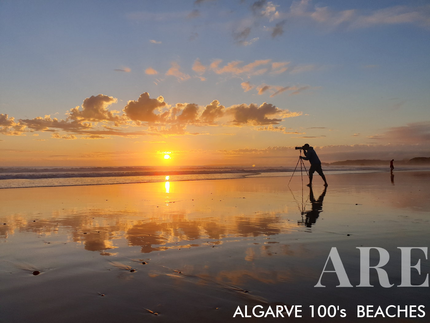
Photographing the surfers in Rocha beach, by José Féria, the photographer behing all the pictures at ARE
Photographing the surfers in Rocha beach, by José Féria, the photographer behing all the pictures at ARE

  1. see on the map
Sunrise at Marinha beach in Portimão

Sunrise at Marinha beach in Portimão

  1. see on the map
Pintadinho beach, with Portimão city in the landscape

Pintadinho beach, with Portimão city in the landscape

  1. see on the map
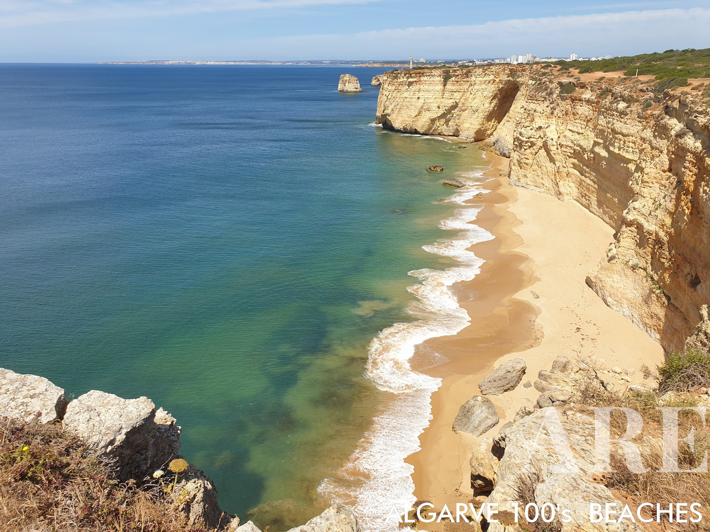
Praia da Afurada, a beach only accessible by sea. Located between Praia dos Caneiros and Praia do Carvoeiro

Praia da Afurada, a beach only accessible by sea. Located between Praia dos Caneiros and Praia do Carvoeiro

  1. see on the map
Caneiros beach

Caneiros beach

  1. see on the map
Beach of the Three Castelos, a beach accessible only by sea. Located to the west of Carvoeiro beach

Beach of the Three Castelos, a beach accessible only by sea. Located to the west of Carvoeiro beach

  1. see on the map
Paraiso beach, Carvoeiro

Paraiso beach, Carvoeiro

  1. see on the map
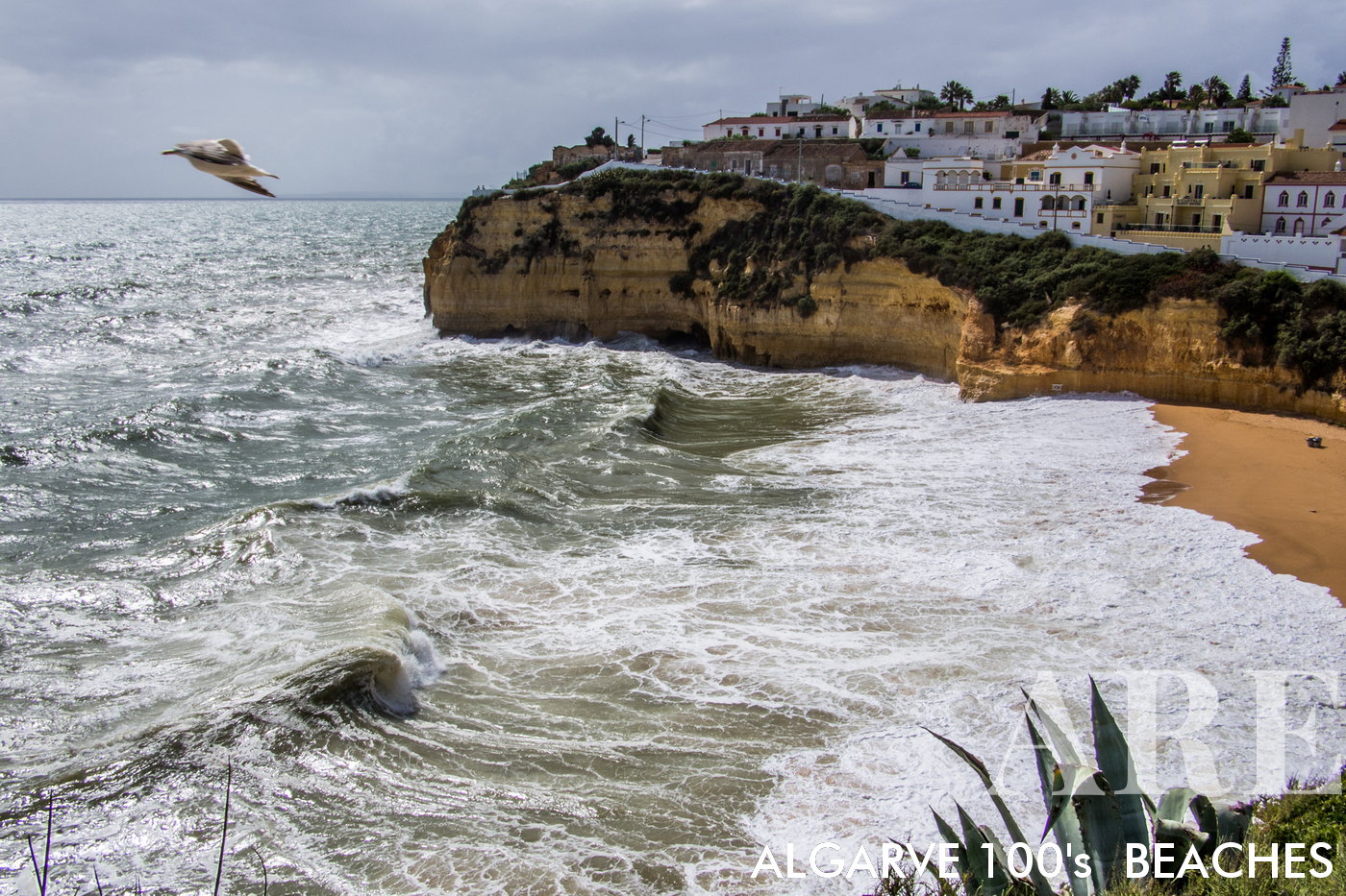
According to historical sources, the current toponym of the village of Carvoeiro would have derived from the word "Caboiere", an old fishing village of Arab-medieval origin. In recent years the village has grown with the growth of summer tourism, however fishing has always been the main economy and livelihood of the local population of Carvoeiro
According to historical sources, the current toponym of the village of Carvoeiro would have derived from the word “Caboiere”, an old fishing village of Arab-medieval origin. In recent years the village has grown with the growth of summer tourism, however fishing has always been the main economy and livelihood of the local population of Carvoeiro

  1. see on the map
Carveiro in a stormy day

Carveiro in a stormy day

  1. see on the map
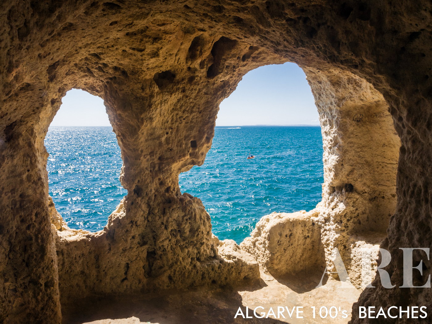
Carvoeiro limestone caves

Carvoeiro limestone caves

  1. see on the map
Carvoeiro beach view from west to east, with the village in the background

Carvoeiro beach view from west to east, with the village in the background

  1. see on the map
Vale de centeanes beach

Vale de centeanes beach

  1. see on the map
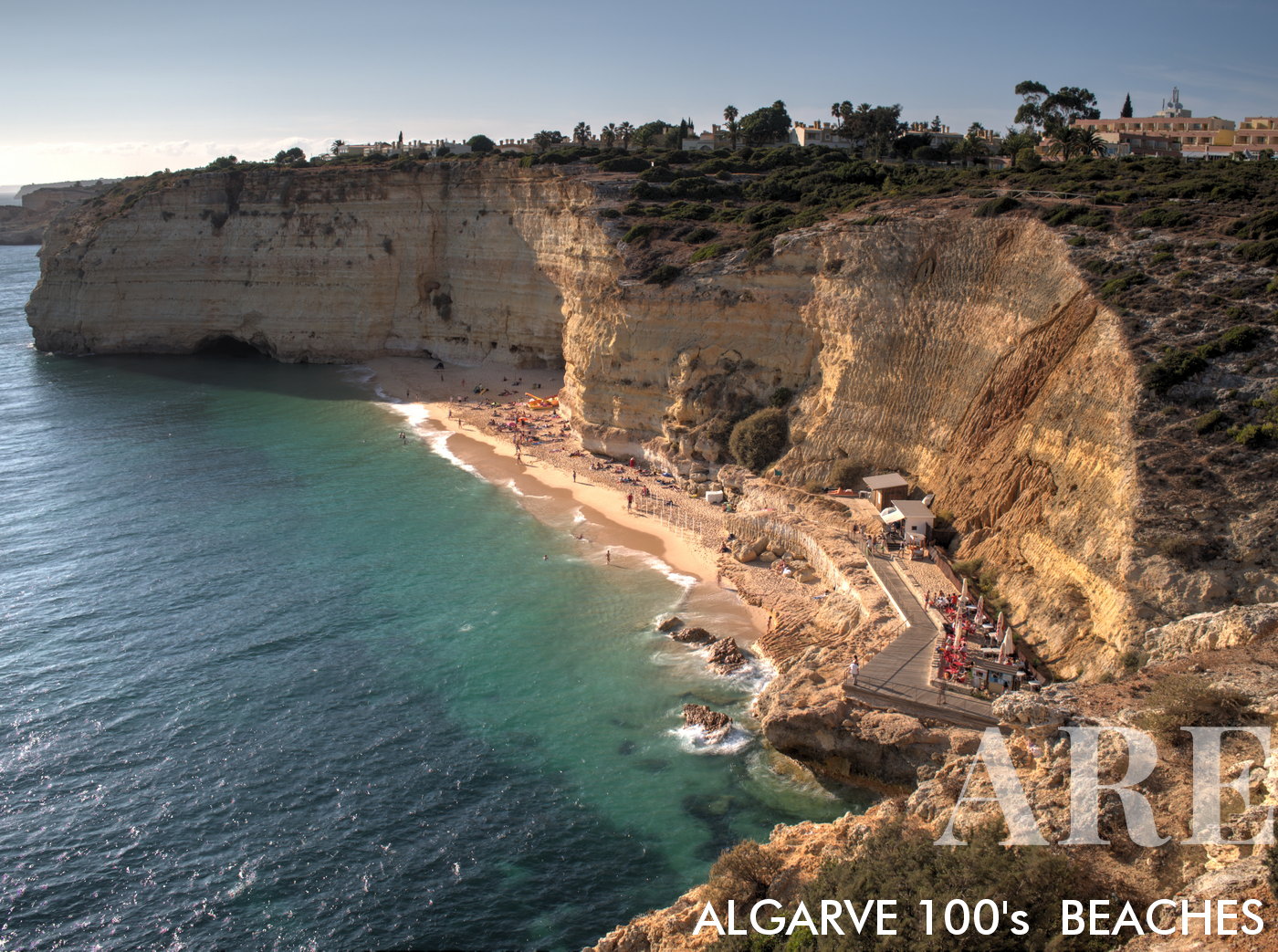
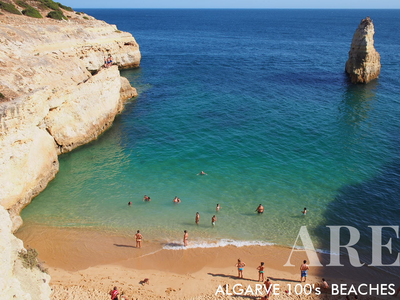
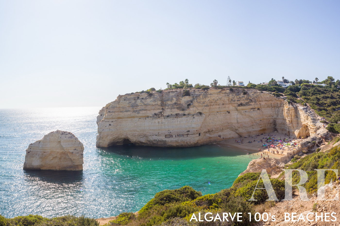
Carvalho beach

Carvalho beach

  1. see on the map
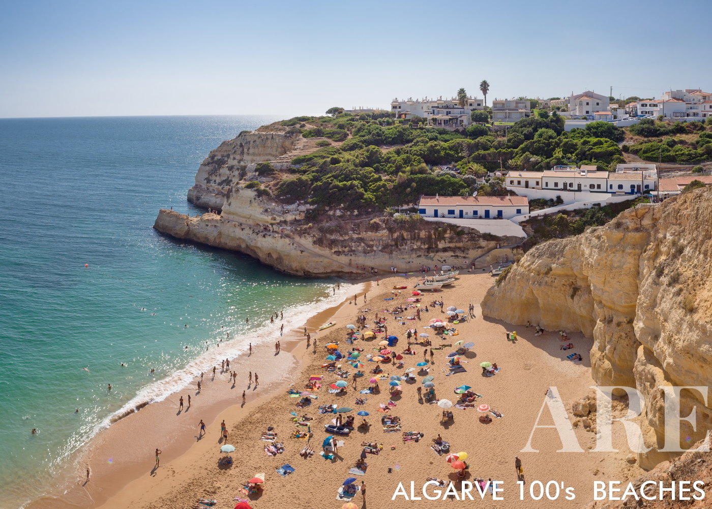
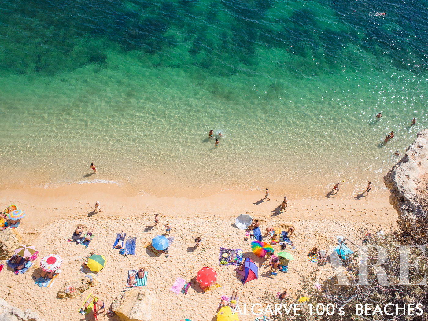
Carvalho Beach

Carvalho Beach
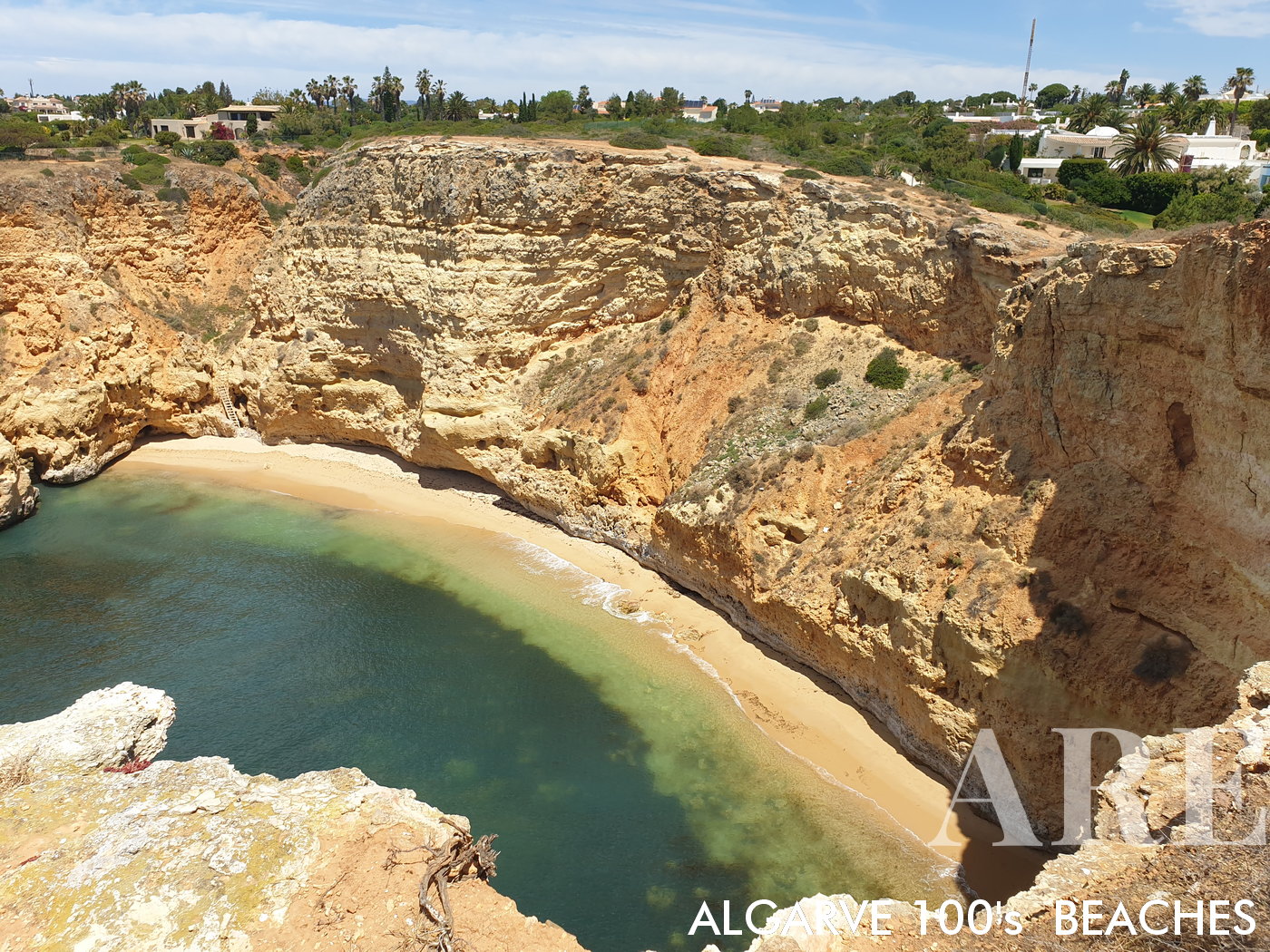
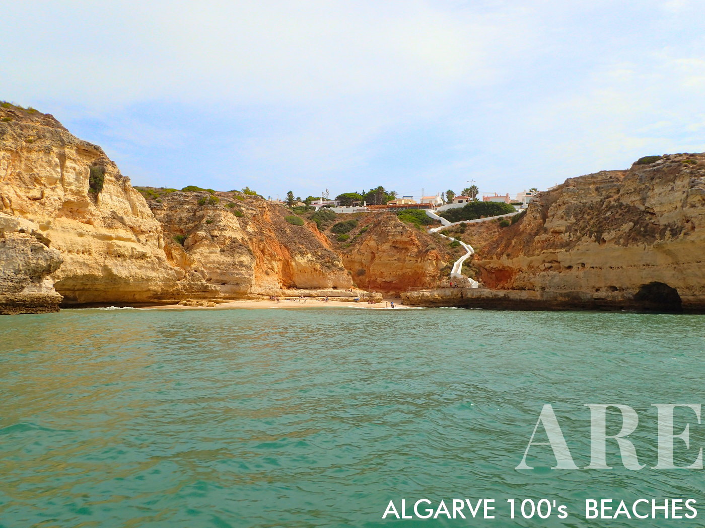
Tucked away, accessed through the cliff’s challenge.

  1. see on the map
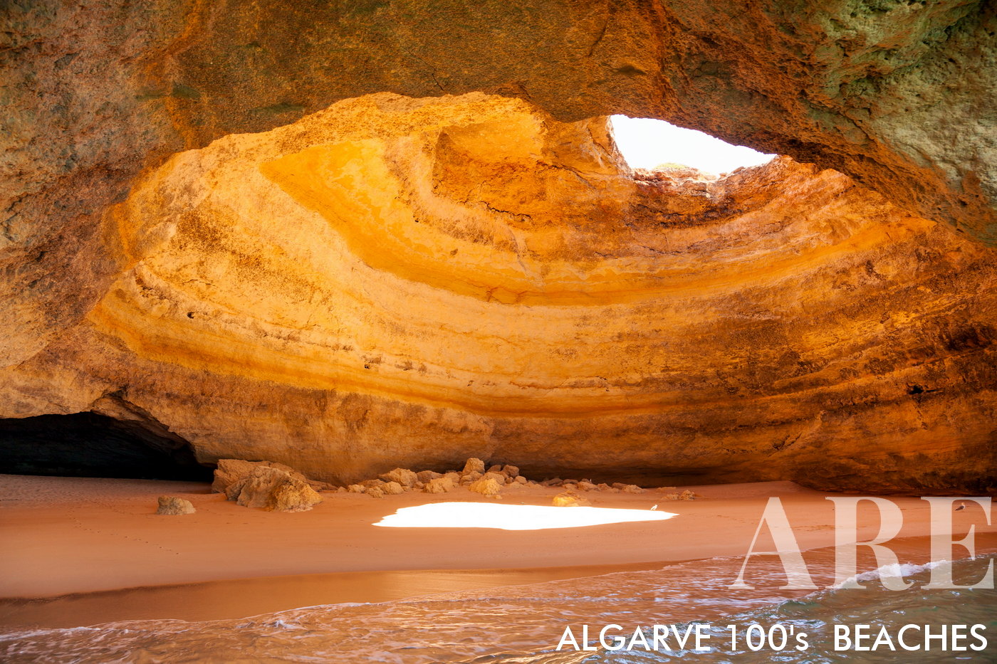
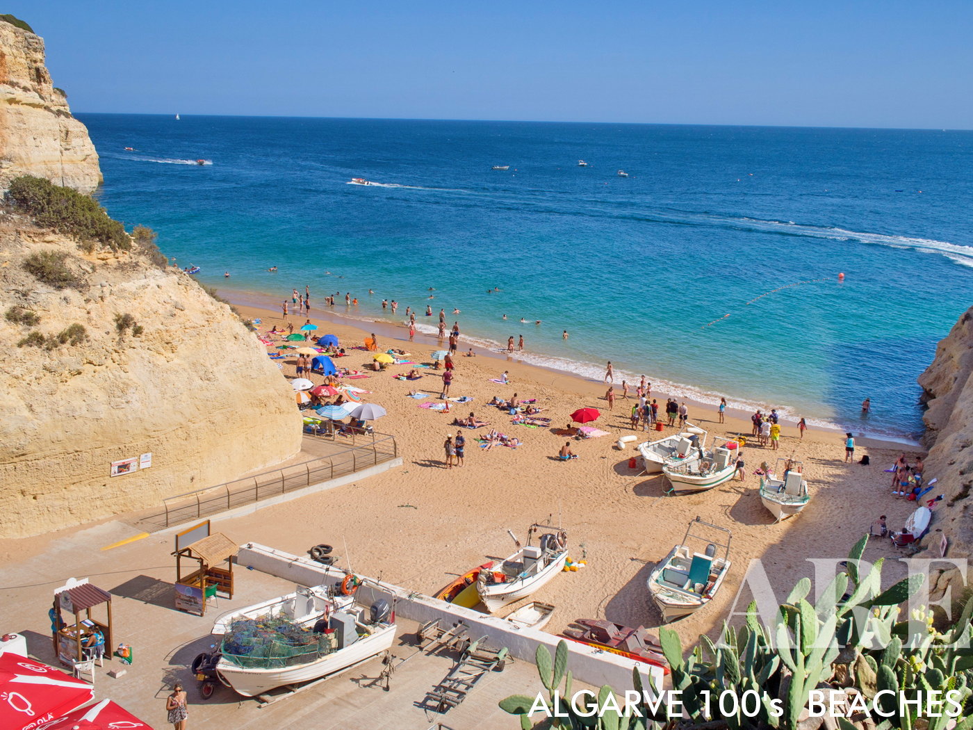
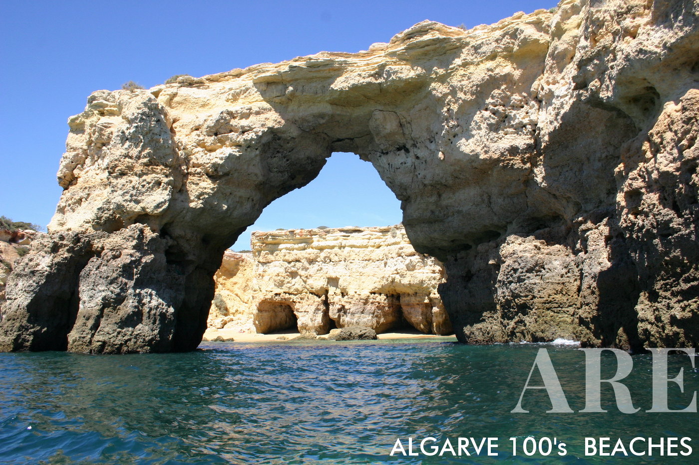
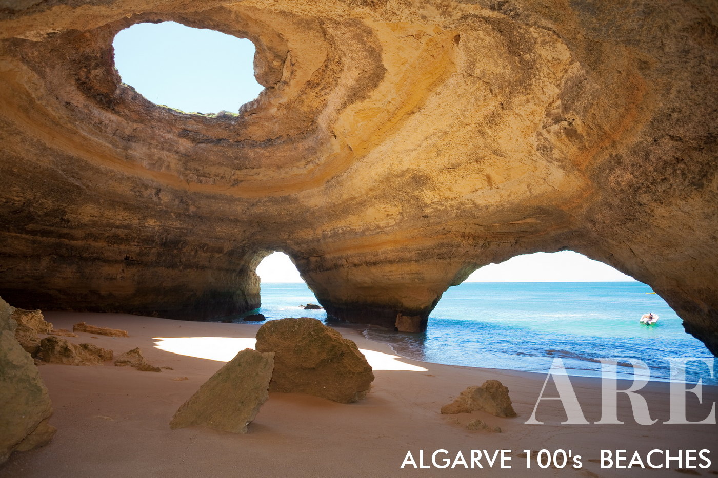
Benagil Beach Cave

Benagil Beach Cave
An iconic Algarvian natural wonder, where the sea has carved an awe-inspiring cathedral-like cavern into the coastline.
  1. see on the map

Benagil Cave - A Natural Attraction in Algarve

  1. see on the map
Beangil beach

Beangil beach

  1. see on the map
Beangil beach viewed from the cliffs

Beangil beach viewed from the cliffs

  1. see on the map
panorama of Beangil beach

panorama of Beangil beach

  1. see on the map
Algar description

Algar description

  1. see on the map
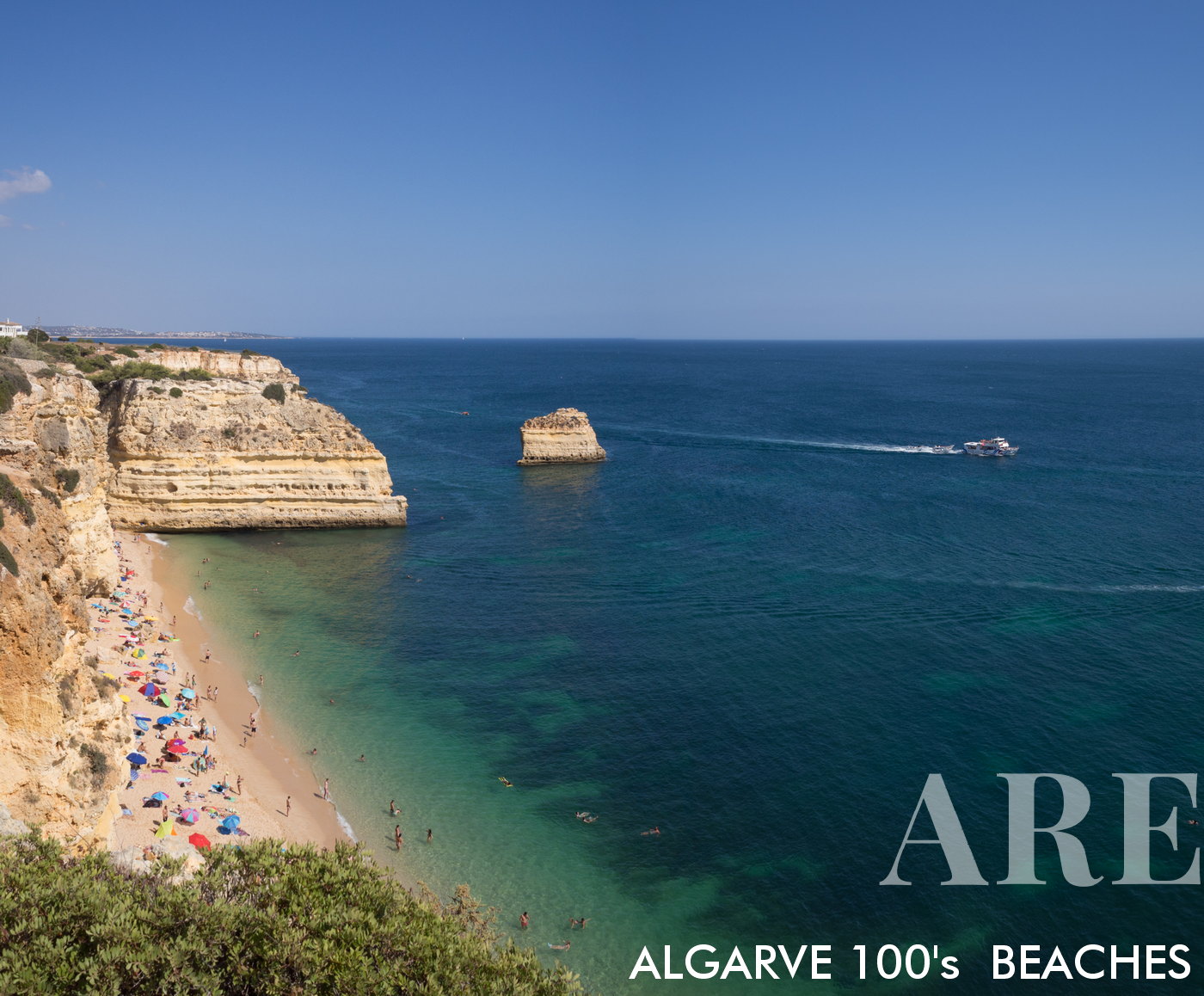
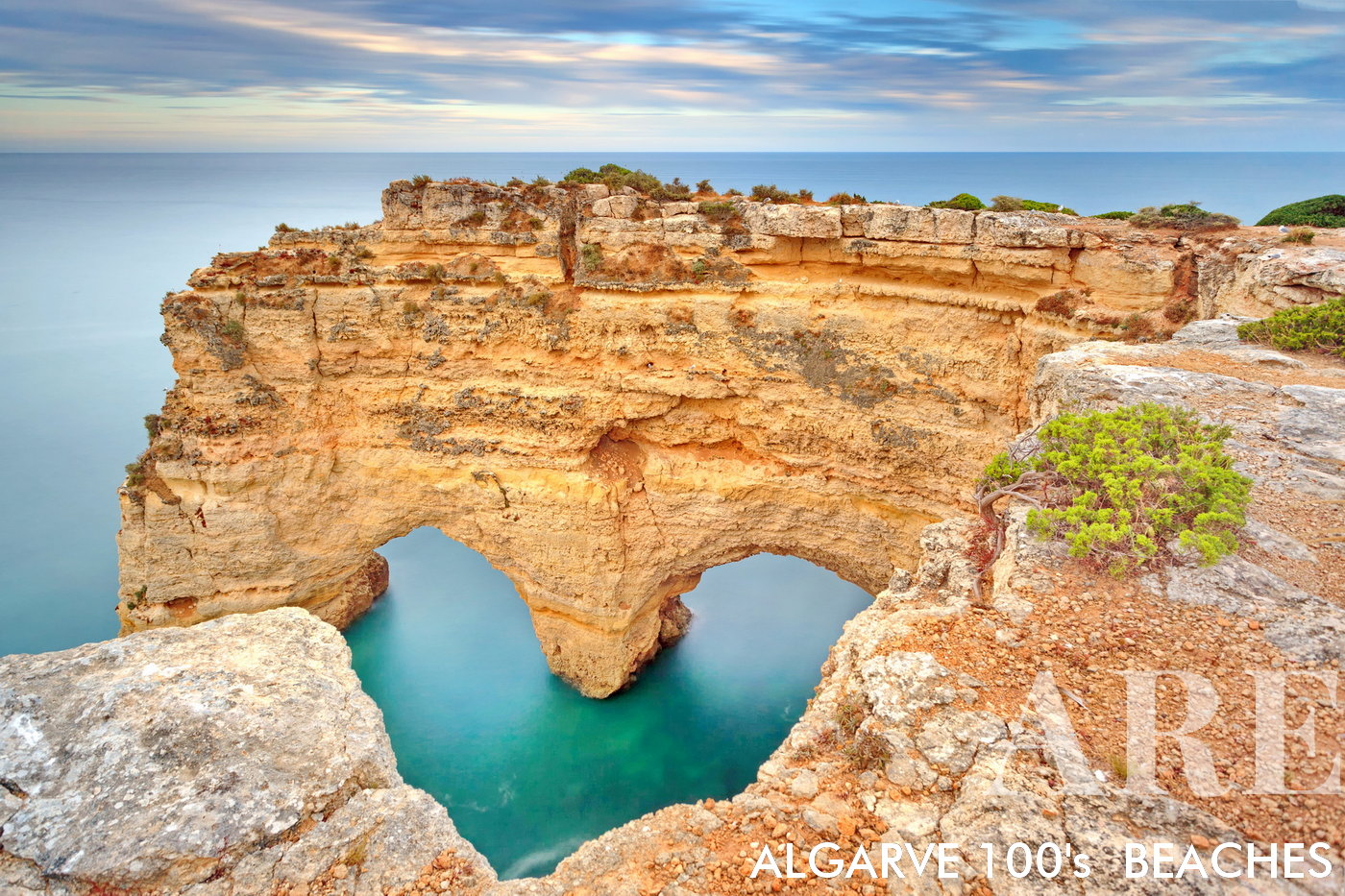
Marinha beach, where we can find the heart-shaped rock in the Algarve on the southern coast of Portugal
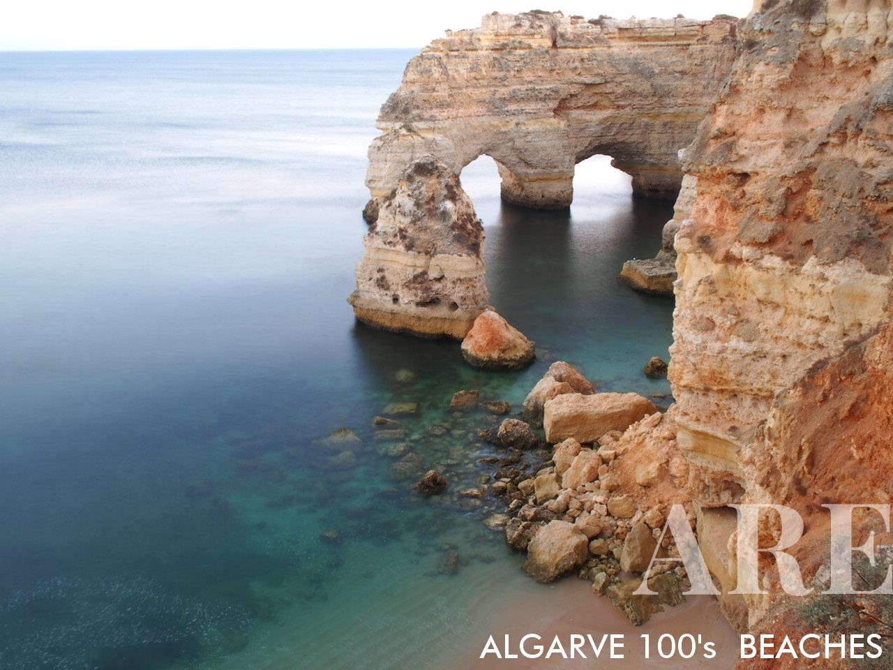
Marinha beach, where we can find the heart-shaped rock in the Algarve on the southern coast of Portugal

  1. see on the map
The Heart-shaped Rock is indeed a beautiful natural formation, nestled in the scenic landscape of Praia da Marinha in the Algarve region of southern Portugal.

The Heart-shaped Rock is indeed a beautiful natural formation, nestled in the scenic landscape of Praia da Marinha in the Algarve region of southern Portugal.

  1. see on the map
Marinha beach to west

Marinha beach to west

  1. see on the map
Marinha beach from above

Marinha beach from above

  1. see on the map
Marinha beach to east

Marinha beach to east

  1. see on the map
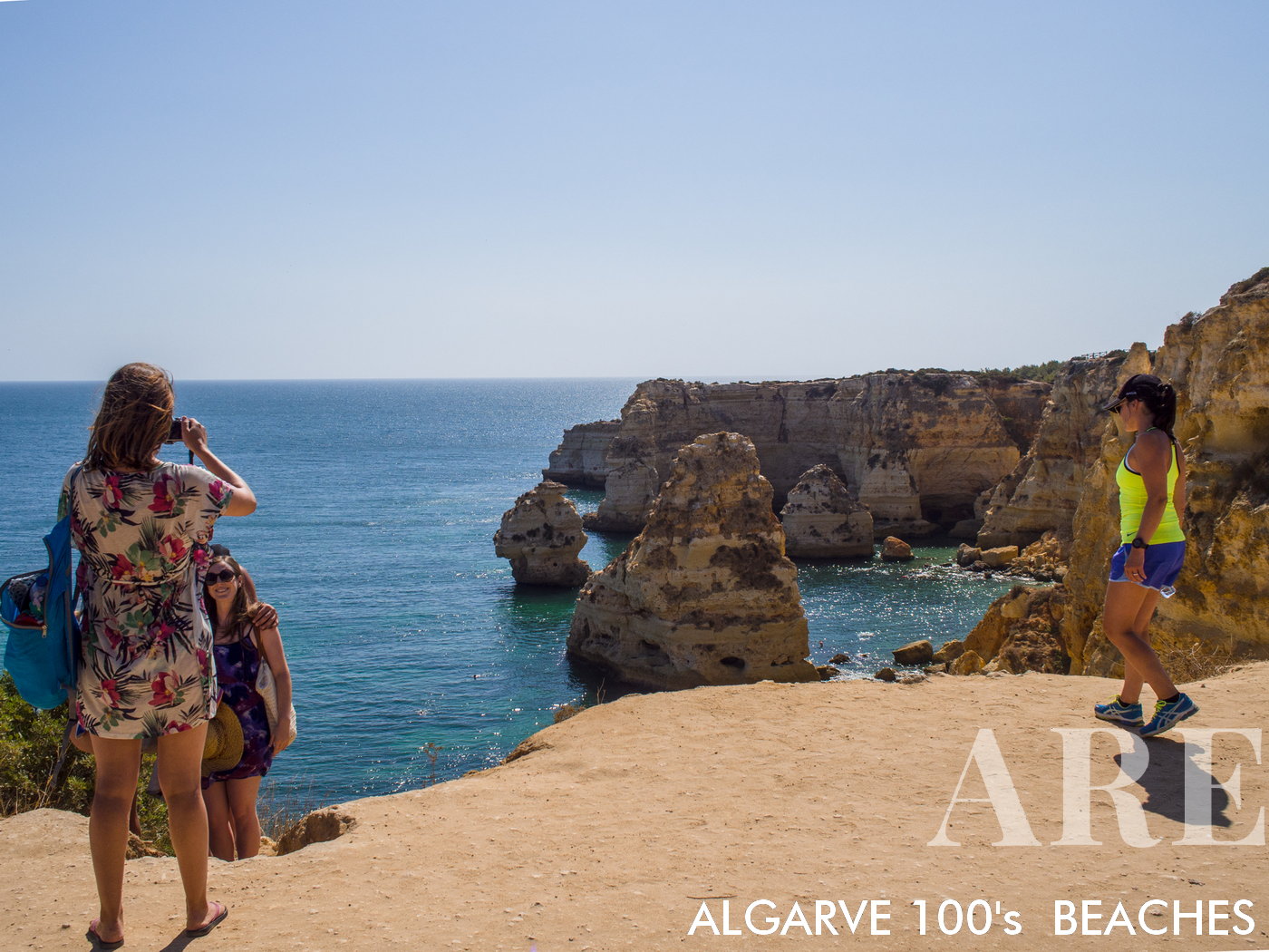
Marinha beach perspective

Marinha beach perspective

  1. see on the map
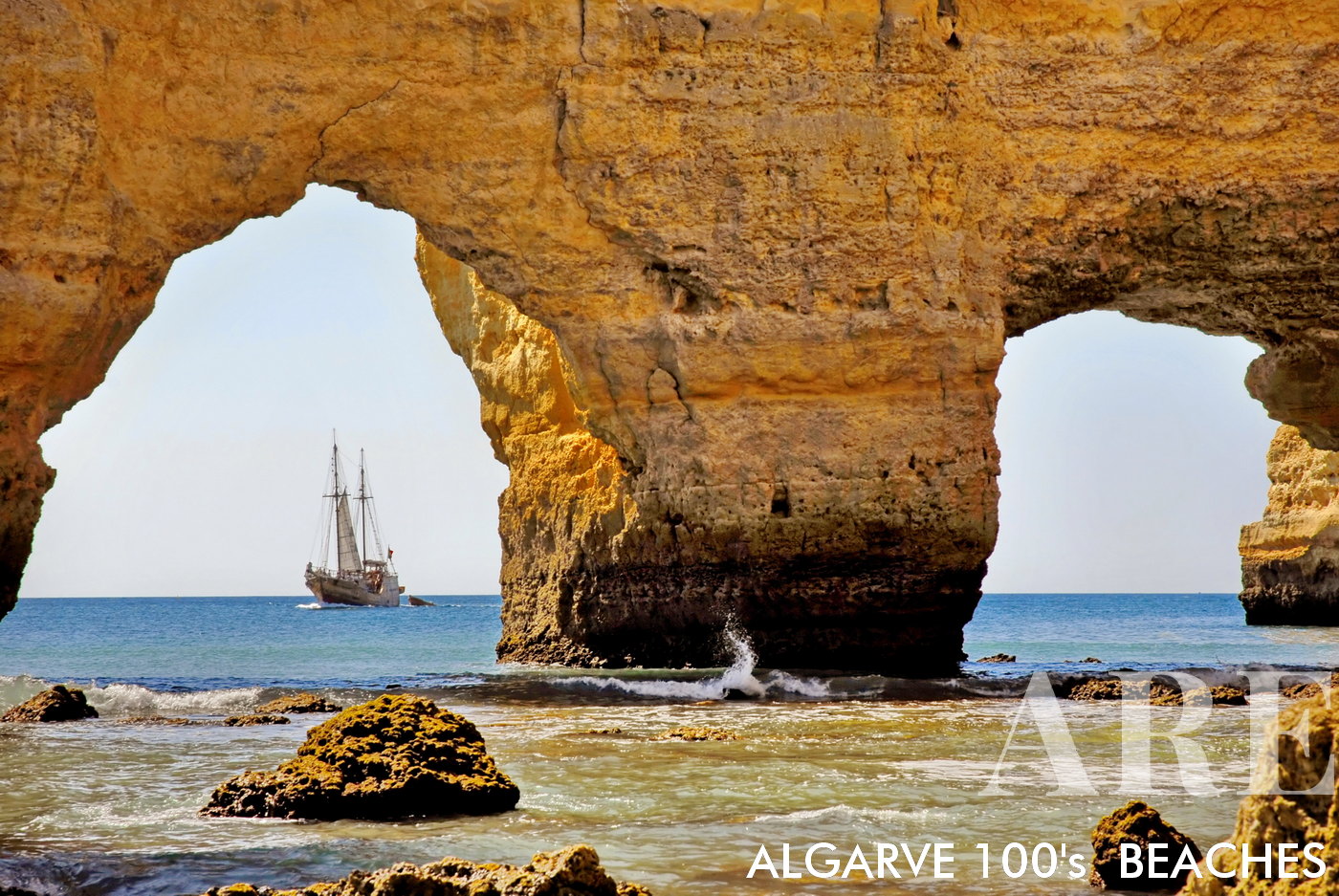
cave beach and a boat in algarve, the south of portugal, Marinha beach

cave beach and a boat in algarve, the south of portugal, Marinha beach

  1. see on the map
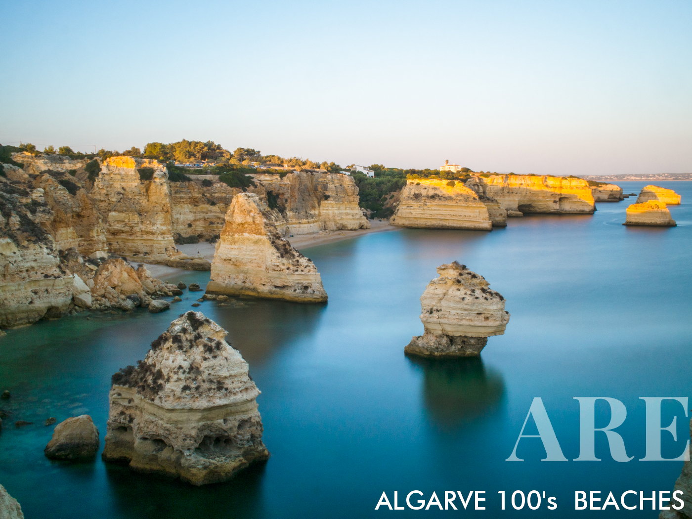
Marinha beach sunset

Marinha beach sunset

  1. see on the map
Marinha's Seven Valleys

Marinha’s Seven ValleysEmbark on a journey between Praia da Marinha and Praia de Vale Centeanes, taking a scenic route through Marinha’s Seven Valleys, renowned for the dramatic suspended cliffs walk path. This 12 km round trip trek, averaging around 6 hours, escorts you along the edge of towering cliffs, offering stunning vistas of the valleys and the gleaming sea below. Be captivated by this unparalleled blend of natural beauty and breathtaking heights, a trek that truly imprints itself in memory.
  1. see on the map
Marinha's Seven Valleys, renowned for the dramatic suspended cliffs walk path.

Marinha’s Seven Valleys, renowned for the dramatic suspended cliffs walk path.

  1. see on the map
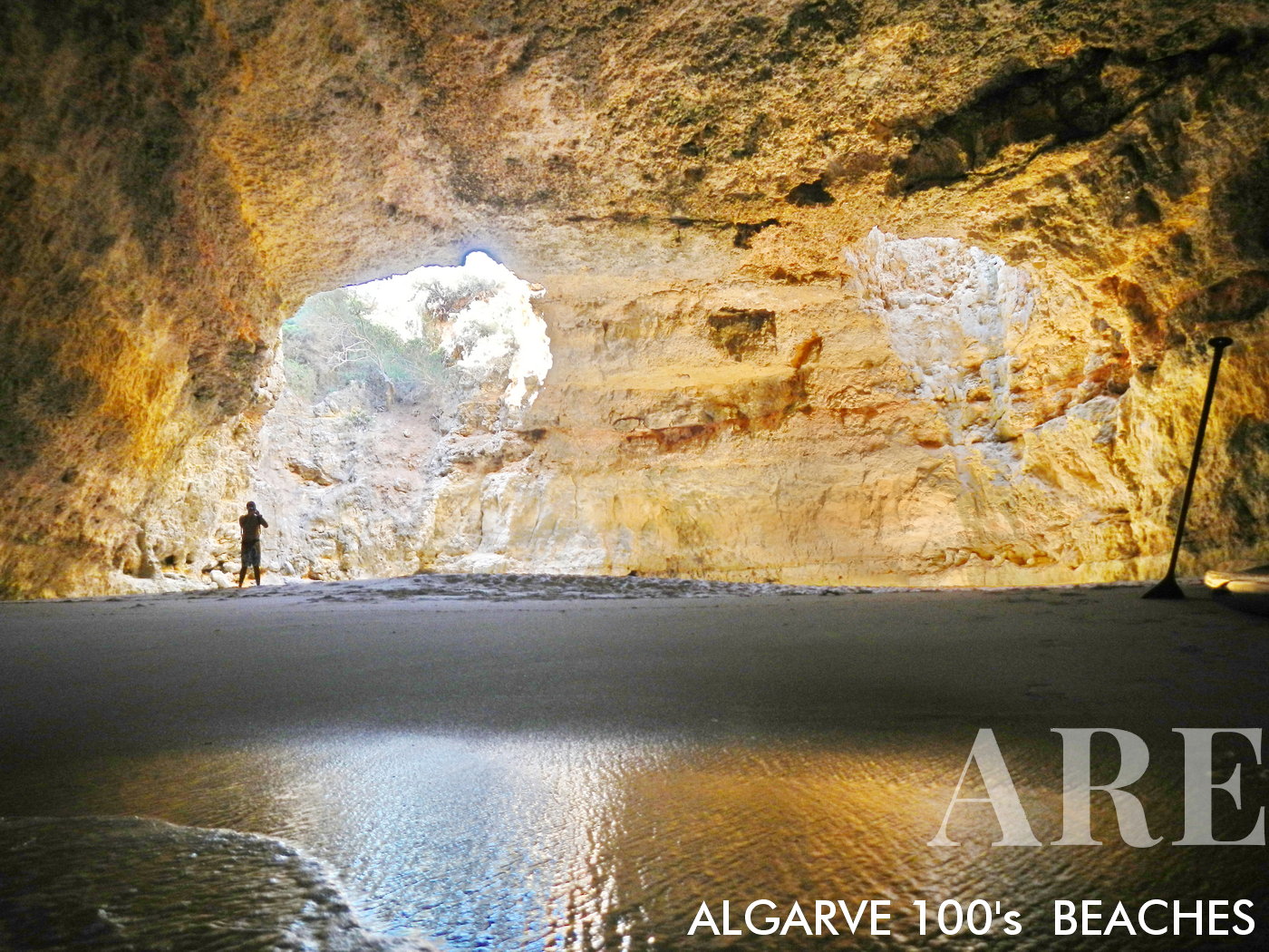
Situated between Praia da Albandeira and Praia Nova lies a hidden gem, an Algar less known than Algar de Benagil, yet equally stunning. This secret cavern, only accessible by paddle surf or canoe, offers a unique adventure for those seeking to explore the Algarve's untouched beauty. Once inside, you'll be awed by the natural formations and the serene, crystal clear waters. It's an experience that combines the thrill of exploration with the peaceful tranquility of nature. Remember to bring your waterproof camera to capture this unique and spectacular scene.

Situated between Praia da Albandeira and Praia Nova lies a hidden gem, an Algar less known than Algar de Benagil, yet equally stunning. This secret cavern, only accessible by paddle surf or canoe, offers a unique adventure for those seeking to explore the Algarve’s untouched beauty. Once inside, you’ll be awed by the natural formations and the serene, crystal clear waters. It’s an experience that combines the thrill of exploration with the peaceful tranquility of nature. Remember to bring your waterproof camera to capture this unique and spectacular scene.

  1. see on the map
Albandeira beach

Albandeira beach

  1. see on the map
Albandeira beach fine art photography

Albandeira beach fine art photography

  1. see on the map
Albandeira beach from entrance

Albandeira beach from entrance

  1. see on the map
Albandeira beach perspective

Albandeira beach perspective

  1. see on the map
Nova beach

Nova beachSituated right next to the iconic Nossa Senhora da Rocha, Nova Beach is a scenic oasis waiting to be discovered.
  1. see on the map
Nova Beach

Nova Beach

  1. see on the map
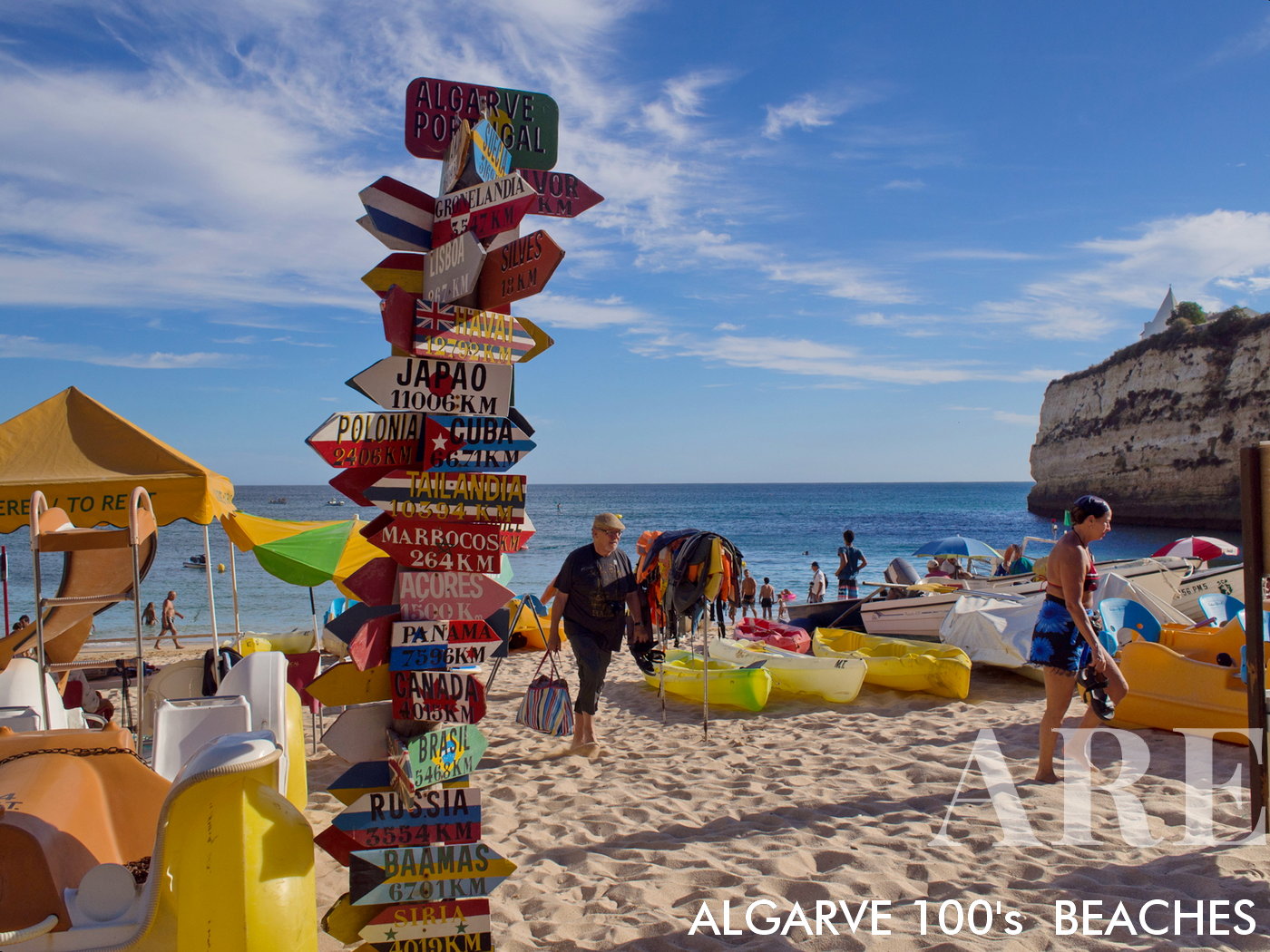
Nossa Senhora da Rocha beach. These colorful totems with world distances continue to fascinate people to take pictures...

Nossa Senhora da Rocha beach. These colorful totems with world distances continue to fascinate people to take pictures…

  1. see on the map
Nossa Senhora da Rocha church and beach.

Nossa Senhora da Rocha church and beach.

  1. see on the map
Nossa Senhora da Rocha beach

Nossa Senhora da Rocha beach

  1. see on the map
Tremoços beach

Tremoços beach

Central Algarve Beaches (Galé, to Falésia, Vilamoura to Faro’s Ria Formosa)

Central Algarve, extending from Galé to the stunning cliffs of Praia da Falésia, and from Vilamoura to the unique lagoon system of Ria Formosa in Cabo de Santa Maria, offers a diverse coastal experience. This stretch captures the essence of the Algarve’s renowned charm, combining picturesque coves with golden sands and the serene landscapes of protected lagoons. Beaches such as Praia da Falésia stand out with their iconic red cliffs, while the sandbar islands of Ria Formosa provide a tranquil sanctuary with calm waters. With proximity to major towns like Vilamoura and Faro, these beaches boast excellent facilities, water sports offerings, and a plethora of dining and entertainment options.
  1. see on the map
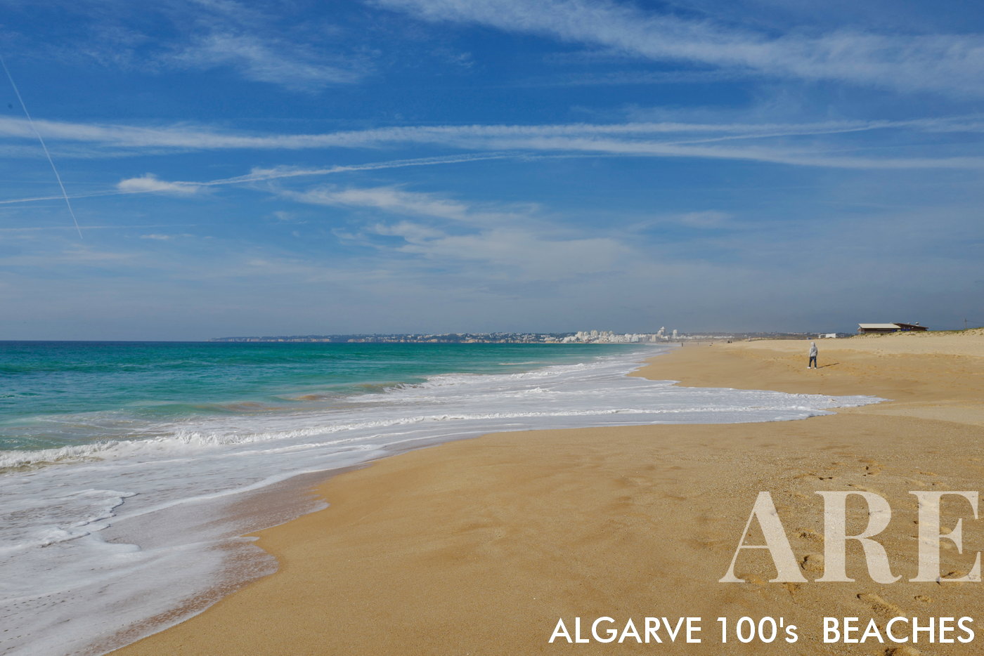
Salgados beach in winter

Salgados beach in winter This beach stretches for almost 5 km, from Armação de Pêra beach to Galé beach. Behind there is the Salgados logo, a protected natural area sought after for bird watching.
  1. see on the map
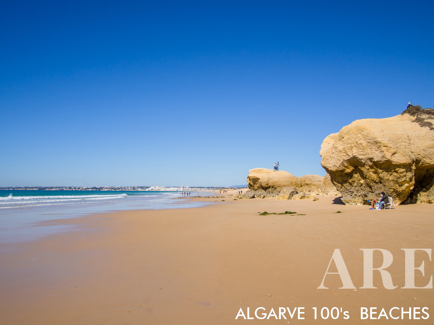
praia da Galé

praia da GaléA mixed beach with a long stretch of sand all the way to Praia dos Salgados, and limestone rocks to the east, with small coves
  1. see on the map
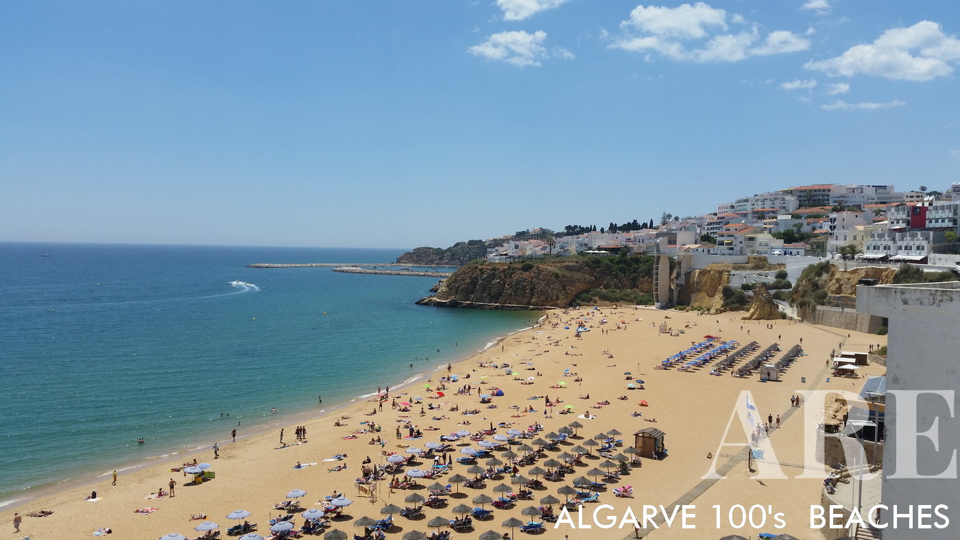
Galé beach

Galé beach

  1. see on the map
Galé beach

Galé beach

  1. see on the map
Galé beach

Galé beach

  1. see on the map
Galé beach

Galé beach

  1. see on the map
Galé beach

Galé beach

  1. see on the map
Manuel Lourenço beach

Manuel Lourenço beach

  1. see on the map
Castelo beach

Castelo beach

  1. see on the map
Castelo beach

Castelo beach

  1. see on the map
Coelha beach

Coelha beach

  1. see on the map
São rafael beach

São rafael beach

  1. see on the map
Arrifes beach

Arrifes beach

  1. see on the map
Peneco beach in Albufeira down town

Peneco beach in Albufeira down town

  1. see on the map
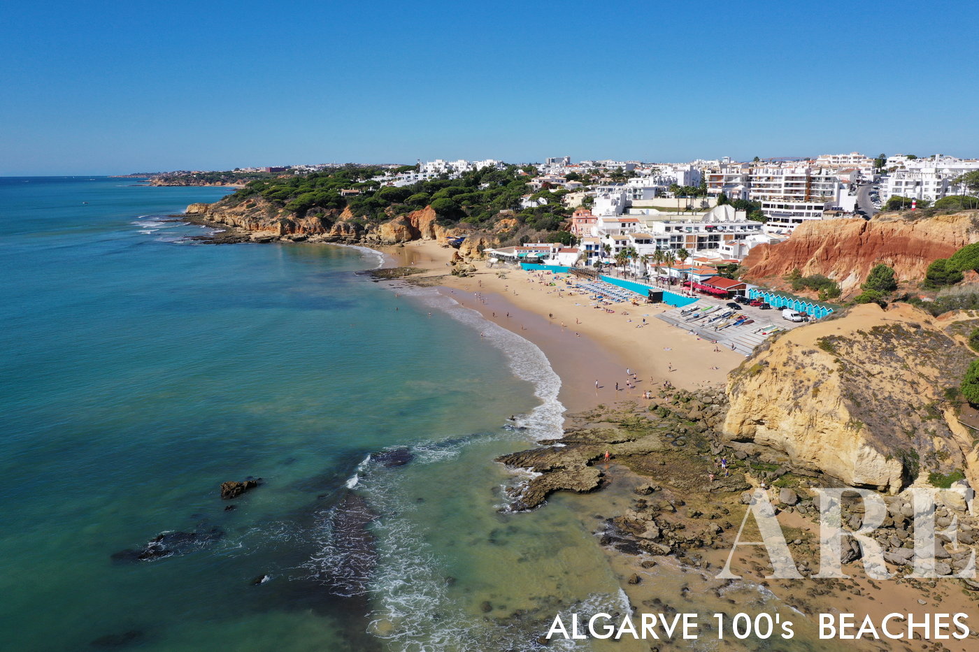
Pescadores beach

Pescadores beachlocated in the old town of Albufeira, with services nearby, restaurants with terrace, with the city behind in the form of an aphitheater
  1. see on the map
Pescadores beach in Albufeira down town

Pescadores beach in Albufeira down town

  1. see on the map

84 fishermans beach 03

  1. see on the map

84 fishermans beach 04

  1. see on the map

84 fishermans beach 05

  1. see on the map
Inatel beach, right next to Pescadores beach in Albufeira

Inatel beach, right next to Pescadores beach in Albufeira

  1. see on the map
Alemão beach

Alemão beach

  1. see on the map
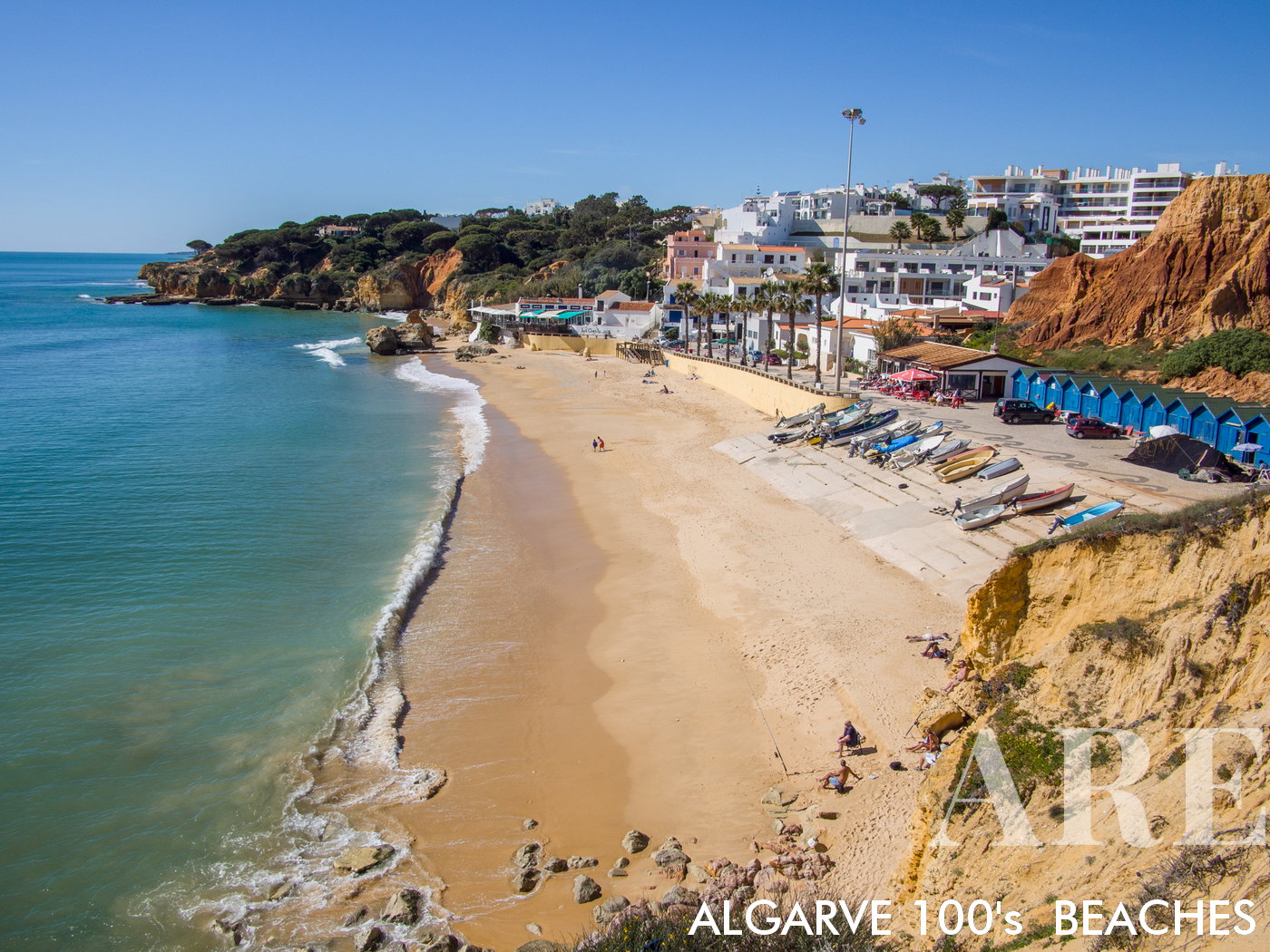
Aerial perspective of Olhos d'Água, a traditional fisherman's beach. From this vantage point, the intricate tapestry of boats, nets and the azure waters unfold beneath you, offering a unique insight into a timeless lifestyle amidst breathtaking natural beauty.
Aerial perspective of Olhos d’Água, a traditional fisherman’s beach. From this vantage point, the intricate tapestry of boats, nets and the azure waters unfold beneath you, offering a unique insight into a timeless lifestyle amidst breathtaking natural beauty.

  1. see on the map
Olhos de Água beach in February

Olhos de Água beach in February

  1. see on the map
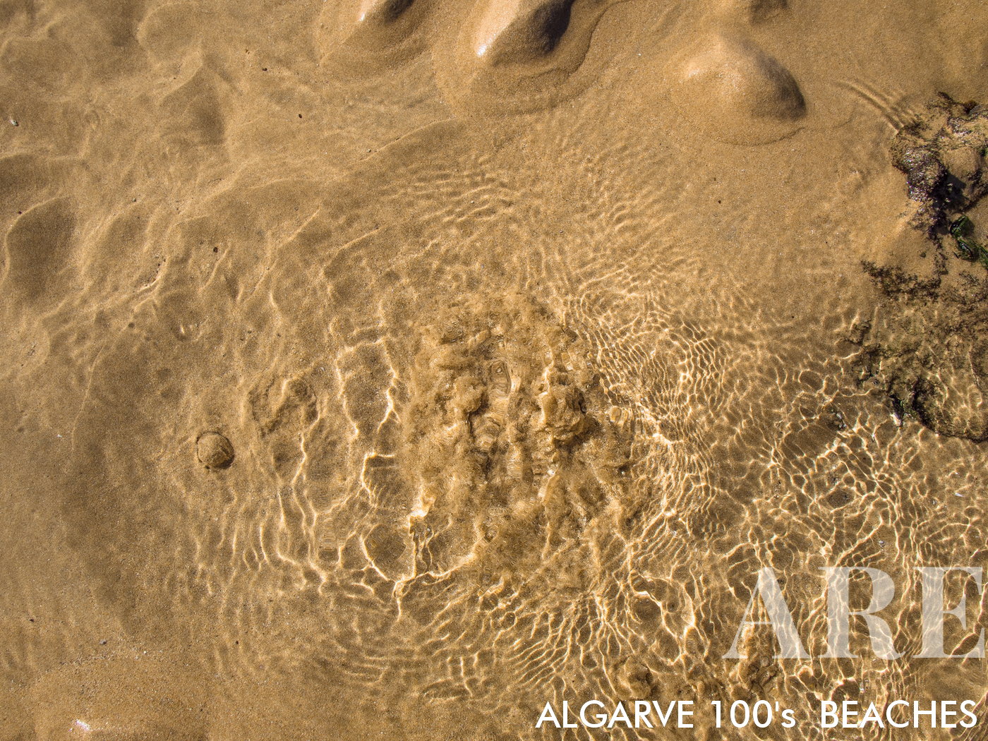
Olhos de Água is a unique beach destination located in the Algarve region of Portugal. Its name, meaning "eyes of water," is derived from the natural freshwater springs, or "olheiros," that can be seen at low tide. These captivating freshwater springs bubble up through the sand, providing a delightful contrast to the saltwater of the surrounding sea.
Olhos de Água is a unique beach destination located in the Algarve region of Portugal. Its name, meaning “eyes of water,” is derived from the natural freshwater springs, or “olheiros,” that can be seen at low tide. These captivating freshwater springs bubble up through the sand, providing a delightful contrast to the saltwater of the surrounding sea.

  1. see on the map
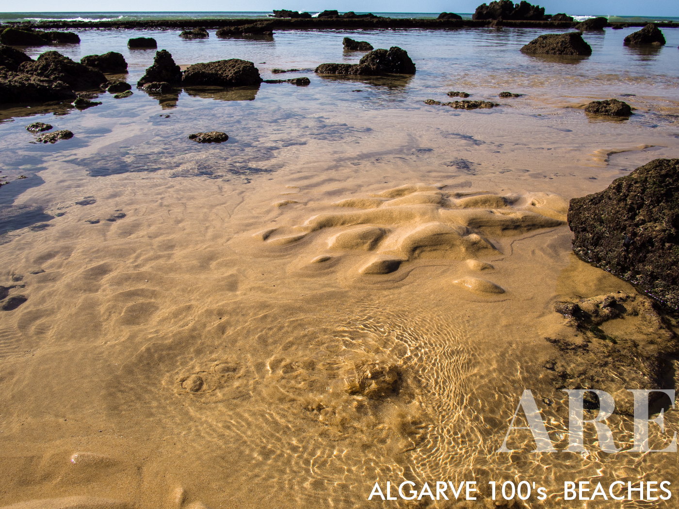
Visitors to Olhos de Água can explore these natural wonders, often forming their own pools within the sand, making it an intriguing location for both children and adults. This distinctive mix of freshwater and sea environments contributes to the diverse ecosystem of the area, offering a unique beach-going experience like no other.
Visitors to Olhos de Água can explore these natural wonders, often forming their own pools within the sand, making it an intriguing location for both children and adults. This distinctive mix of freshwater and sea environments contributes to the diverse ecosystem of the area, offering a unique beach-going experience like no other.

  1. see on the map
cane fishermen on Olhos de Água beach

cane fishermen on Olhos de Água beach

  1. see on the map
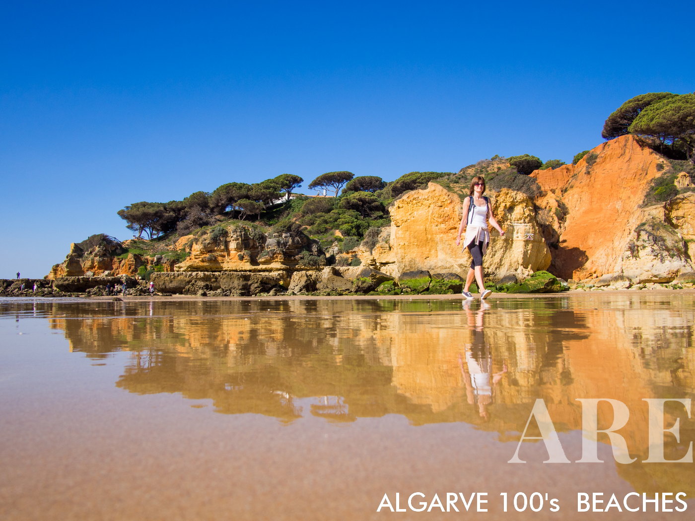
Along Olhos de Água beach, you will find footpaths along the beach during low tide, and small paths over the cliff
Along Olhos de Água beach, you will find footpaths along the beach during low tide, and small paths over the cliff

  1. see on the map
Olhos de Agua beach

Olhos de Agua beach

  1. see on the map
small beach west of Olhos de Agua

small beach west of Olhos de Agua

  1. see on the map
Olhos de Água beach seen from the restaurant terrace

Olhos de Água beach seen from the restaurant terrace

  1. see on the map
Olhos d'Agua beach

Olhos d’Agua beach

  1. see on the map
Olhos d'Agua beach

Olhos d’Agua beach

  1. see on the map
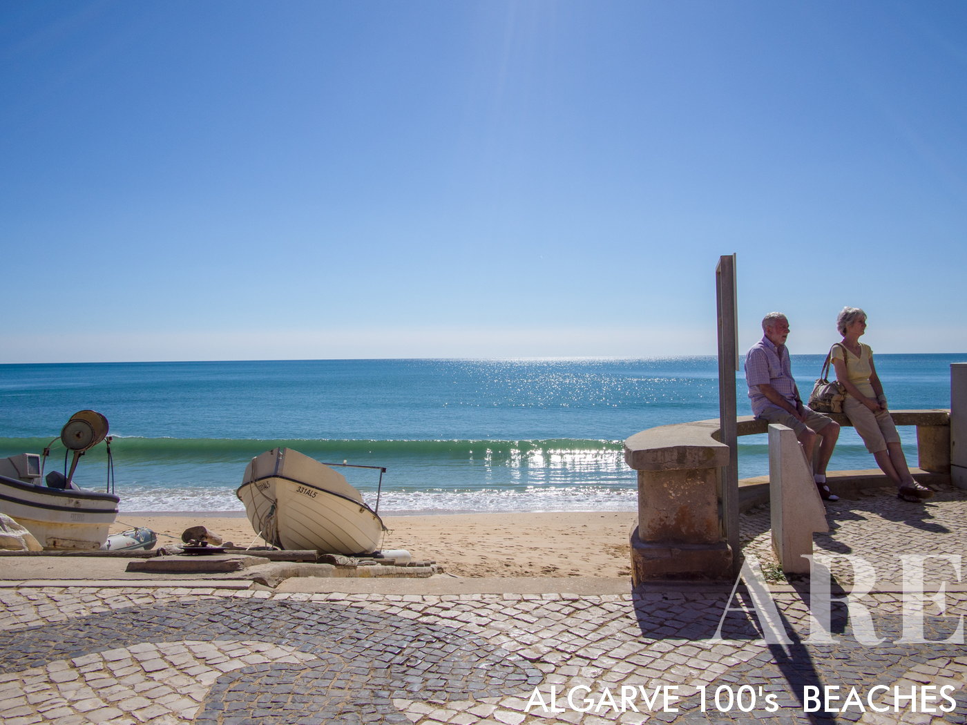
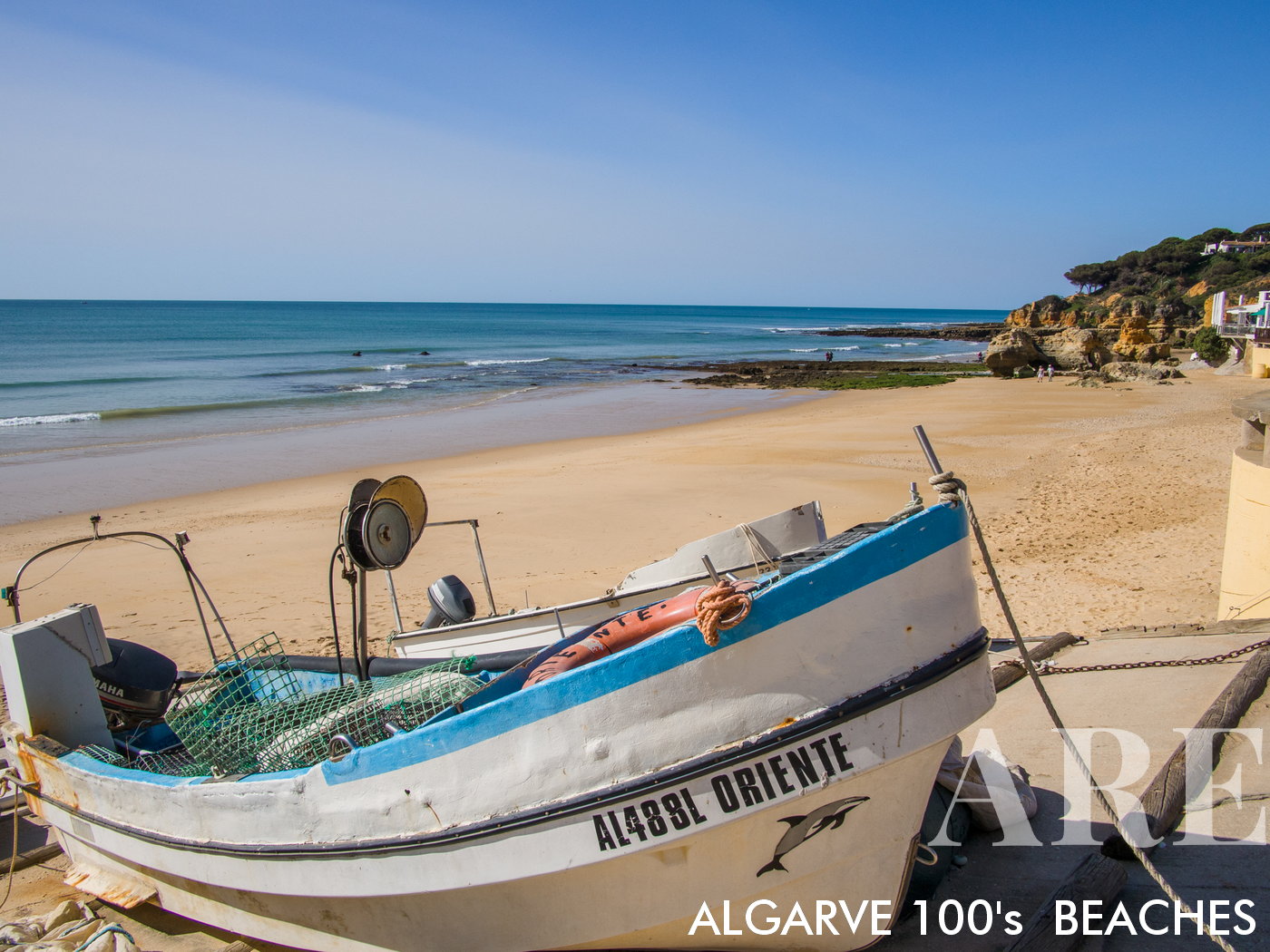
Traditional fishing boat of Mr. Guerreiro, one of the renowned fishermen of the village of Olhos de Água
Traditional fishing boat of Mr. Guerreiro, one of the renowned fishermen of the village of Olhos de Água

  1. see on the map
The art of repairing fishing nets is still done in the traditional way.

The art of repairing fishing nets is still done in the traditional way.

  1. see on the map
Olhos de Água beach in winter

Olhos de Água beach in winter

  1. see on the map
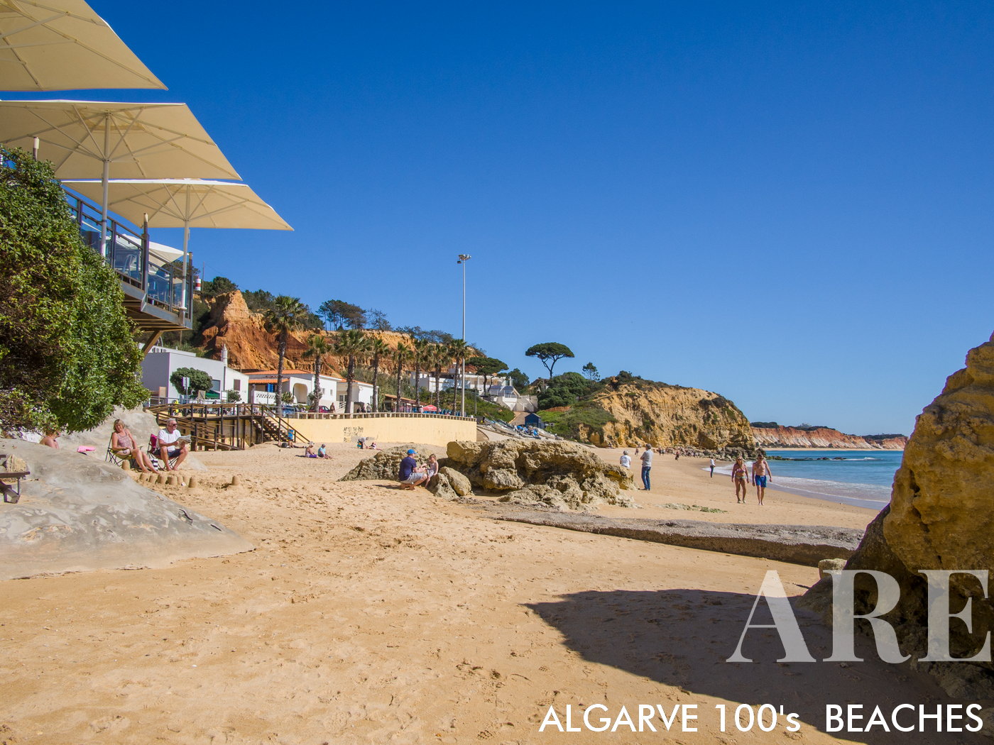
Olhos de Água esplanades overlooking the beach

Olhos de Água esplanades overlooking the beach

  1. see on the map
Olhos de Água traditional fishermans beach

Olhos de Água traditional fishermans beach

  1. see on the map
Olhos de Água traditional fishermans beach

Olhos de Água traditional fishermans beach

  1. see on the map
Next to Olhos de Água beach you will find small beaches hidden in the cliffs.

Next to Olhos de Água beach you will find small beaches hidden in the cliffs.

  1. see on the map
On the cliffs of Olhos de Água beach

On the cliffs of Olhos de Água beach

  1. see on the map
Barranco, Olhos de Àgua beach

Barranco, Olhos de Àgua beach

  1. see on the map
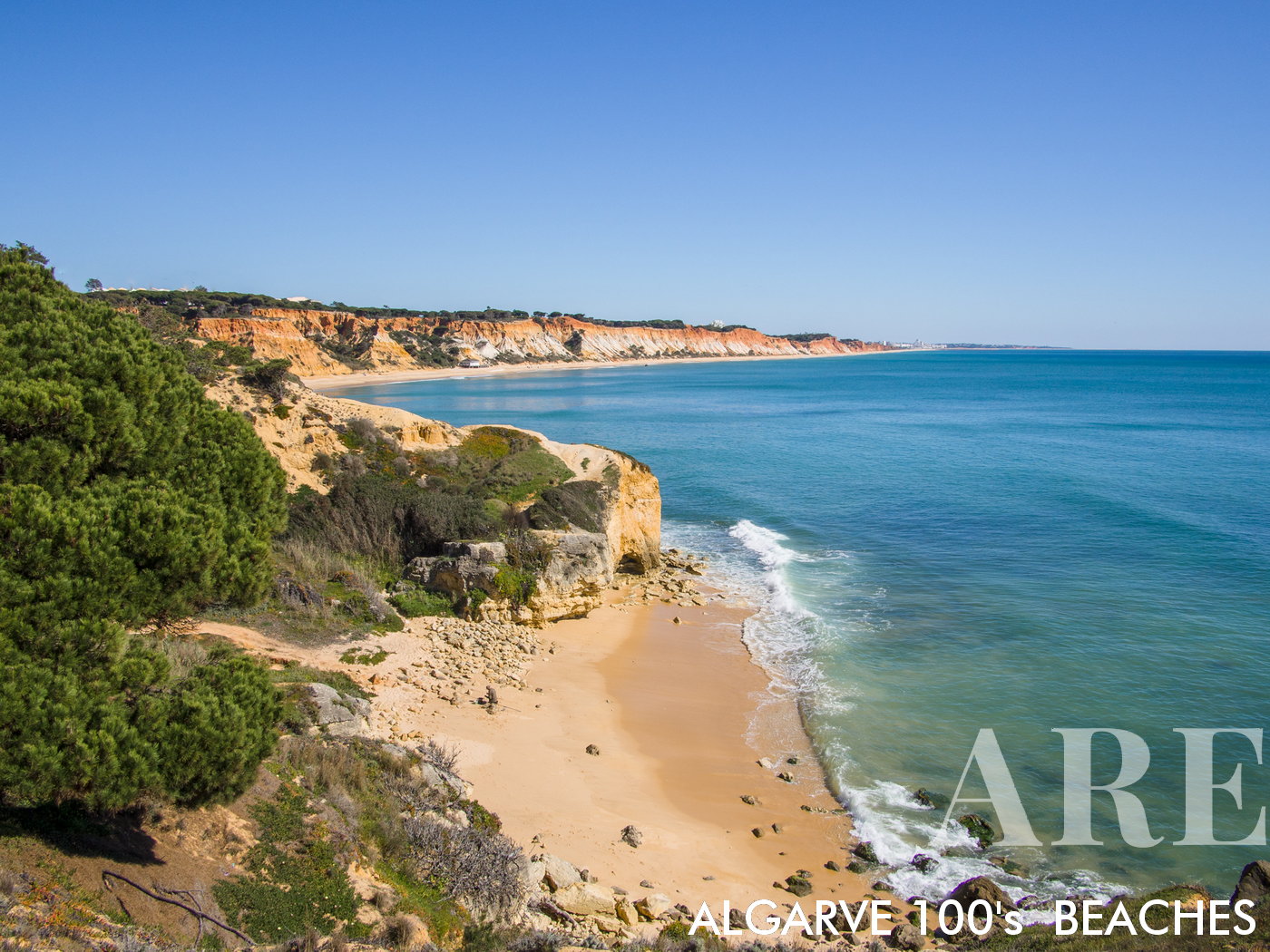
view from the viewpoint of Barranco das Belharucas beach, Pine Cliffs beach to Falésia beach,

view from the viewpoint of Barranco das Belharucas beach, Pine Cliffs beach to Falésia beach,

  1. see on the map
Fisherman on Barranco beach

Fisherman on Barranco beach

  1. see on the map
Barranco das Belharucas beach winter

Barranco das Belharucas beach winter

  1. see on the map
Barranco das Belharucas beach summer

Barranco das Belharucas beach summer

  1. see on the map
Low tide at Barranco das Belharucas beach

Low tide at Barranco das Belharucas beach

  1. see on the map
Barranco das Belharucas and Pine Cliffs beach aerial view

Barranco das Belharucas and Pine Cliffs beach aerial view

  1. see on the map
Falésia Açoteias beach

Falésia Açoteias beach

  1. see on the map
Falésia Açoteias beach

Falésia Açoteias beach

  1. see on the map
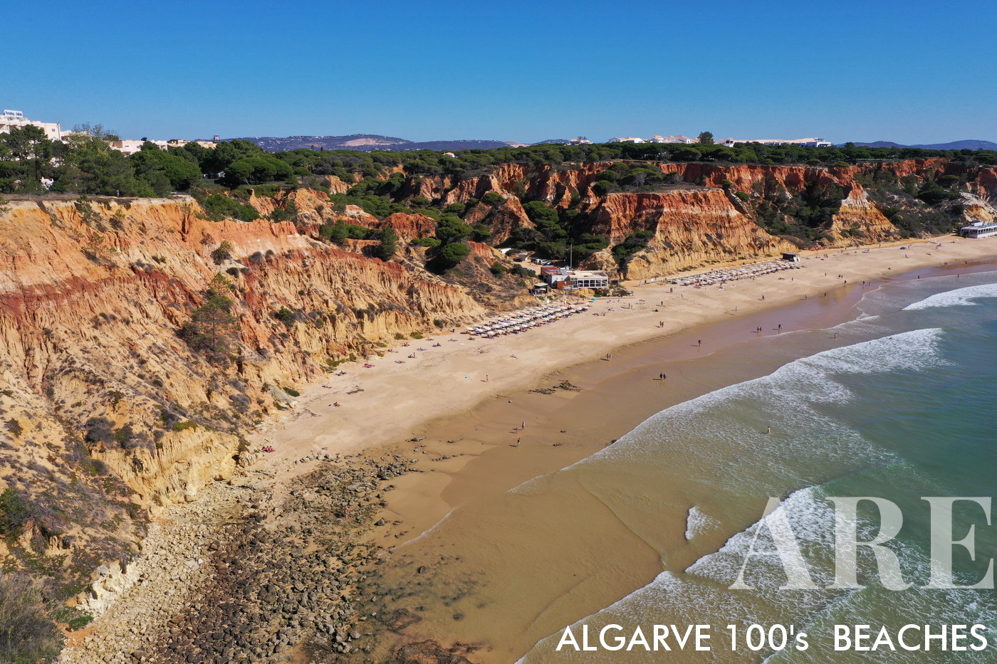
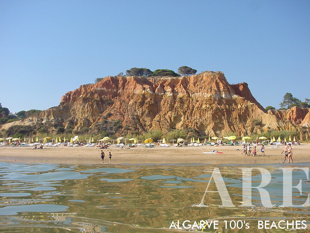
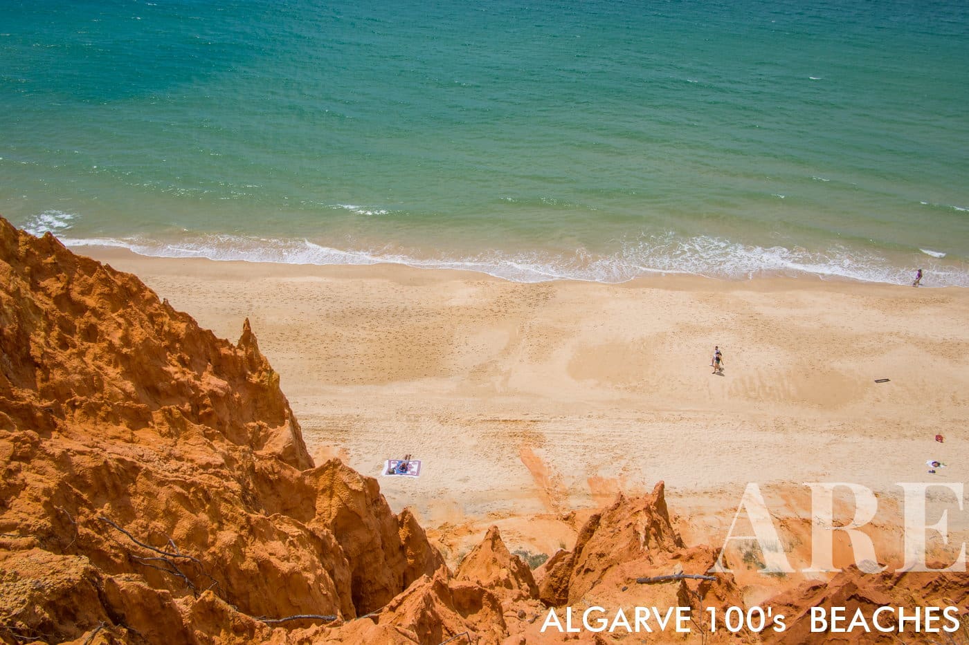
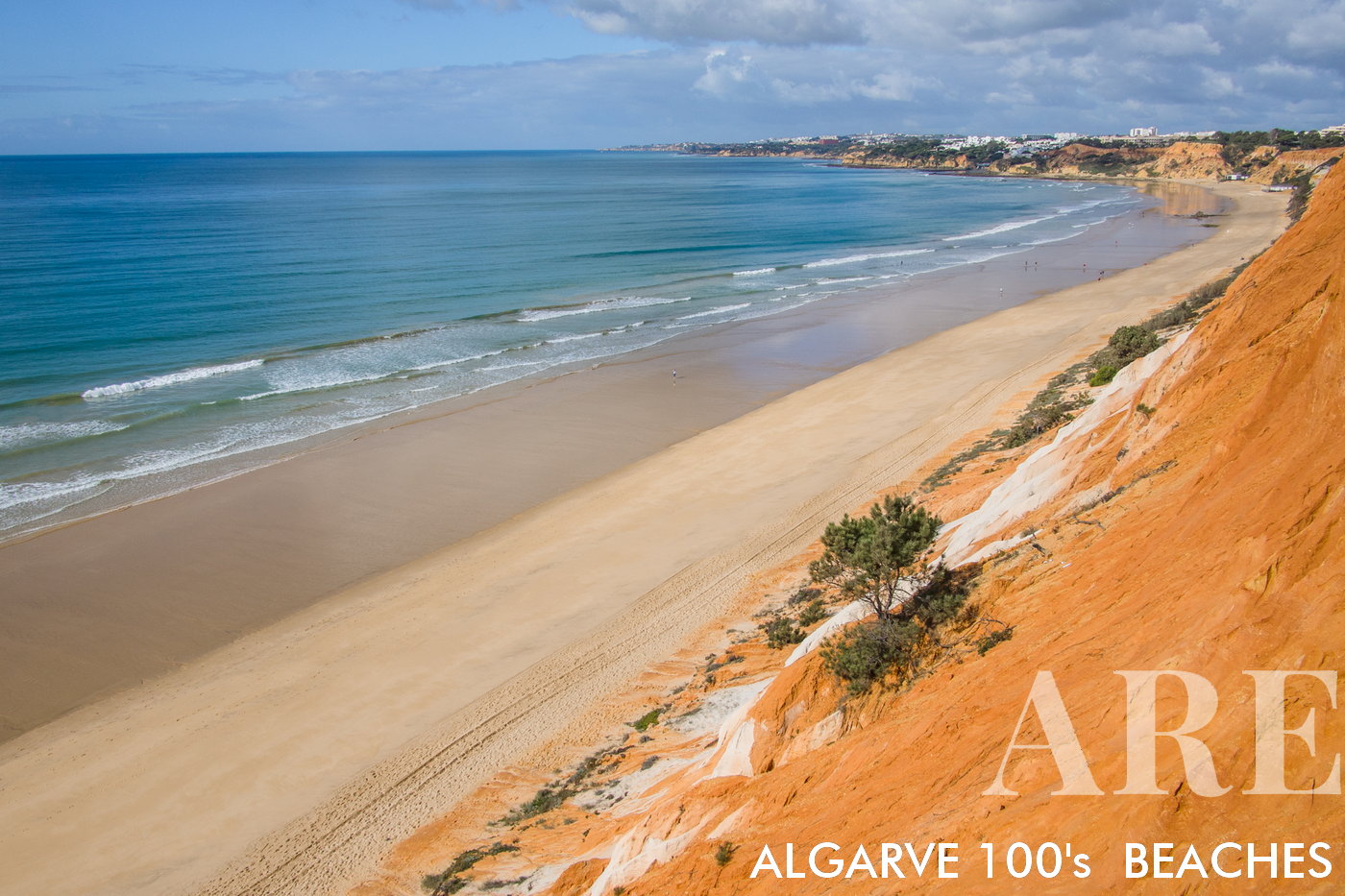
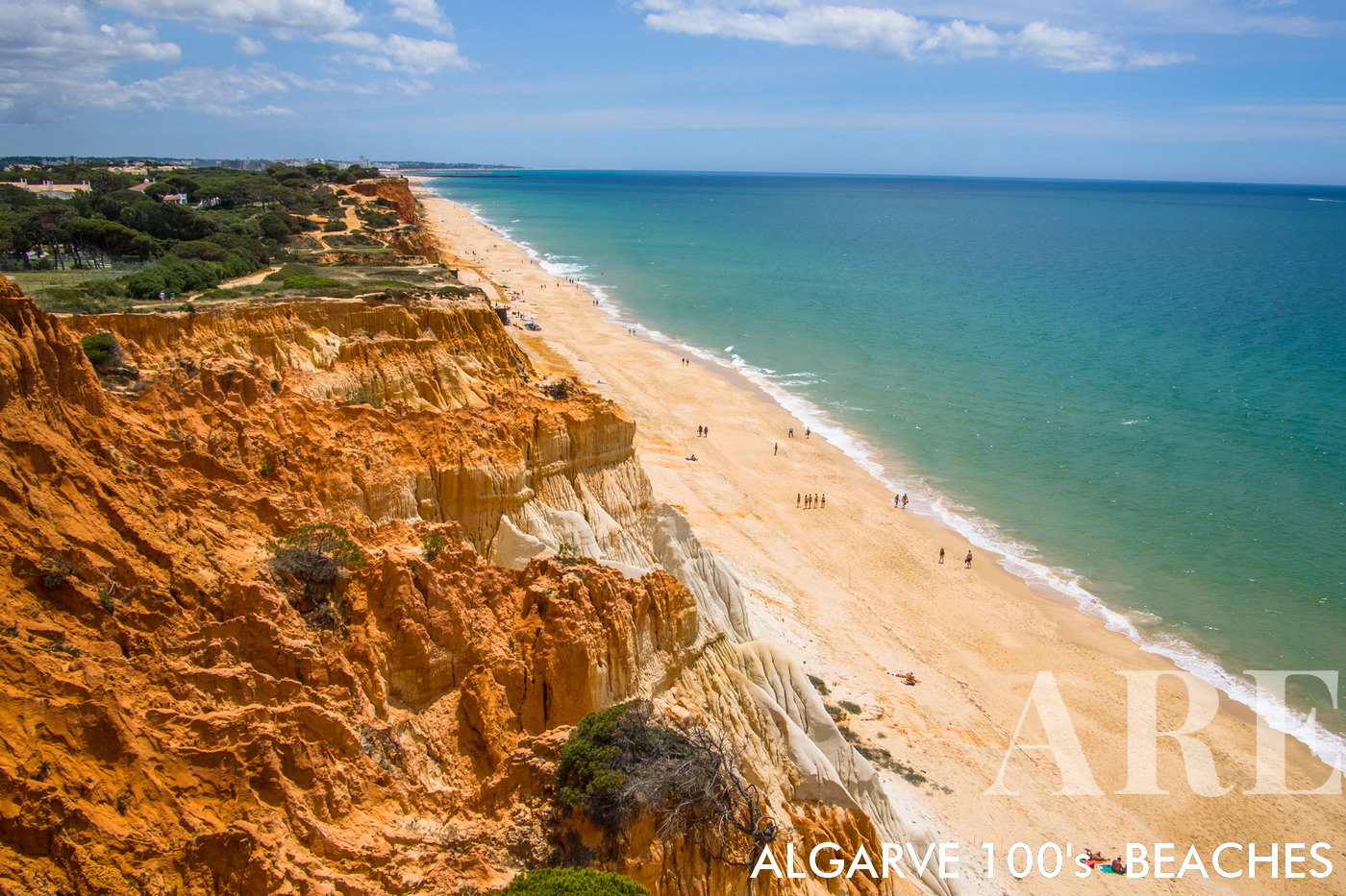
Stretching approximately 5 kilometers from Vilamoura to Praia do Barranco near Olhos de Água in Albufeira, Falésia Beach offers one of the most high-quality beach experiences in Portugal.
Stretching approximately 5 kilometers from Vilamoura to Praia do Barranco near Olhos de Água in Albufeira, Falésia Beach offers one of the most high-quality beach experiences in Portugal.

  1. see on the map
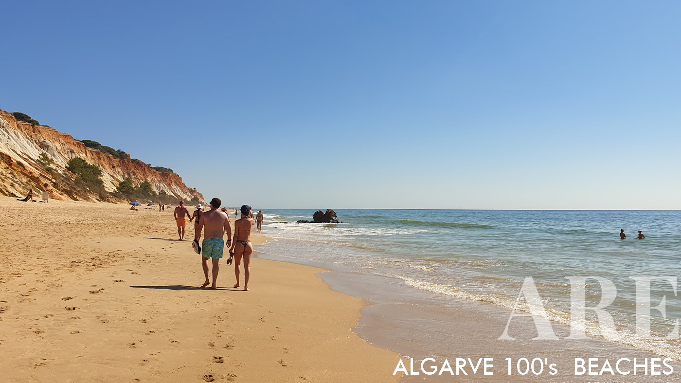
walks all year round by the sea at Falesia beach

walks all year round by the sea at Falesia beach

  1. see on the map
Falesia beach colors

Falesia beach colors

  1. see on the map
View from Açoteias to the west of Falesia beach

View from Açoteias to the west of Falesia beach

  1. see on the map
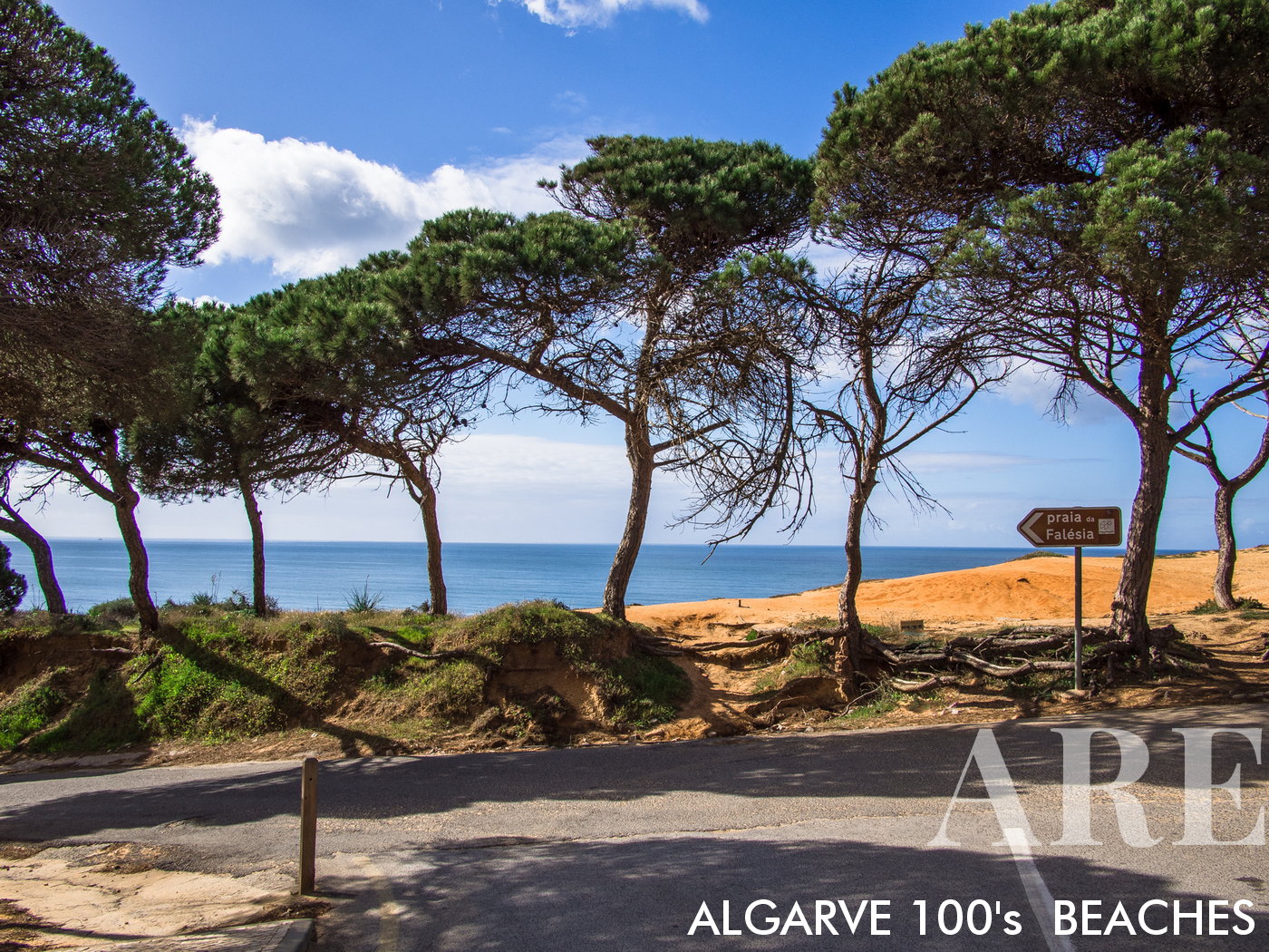
entrance to Açoteias beach

entrance to Açoteias beach

  1. see on the map
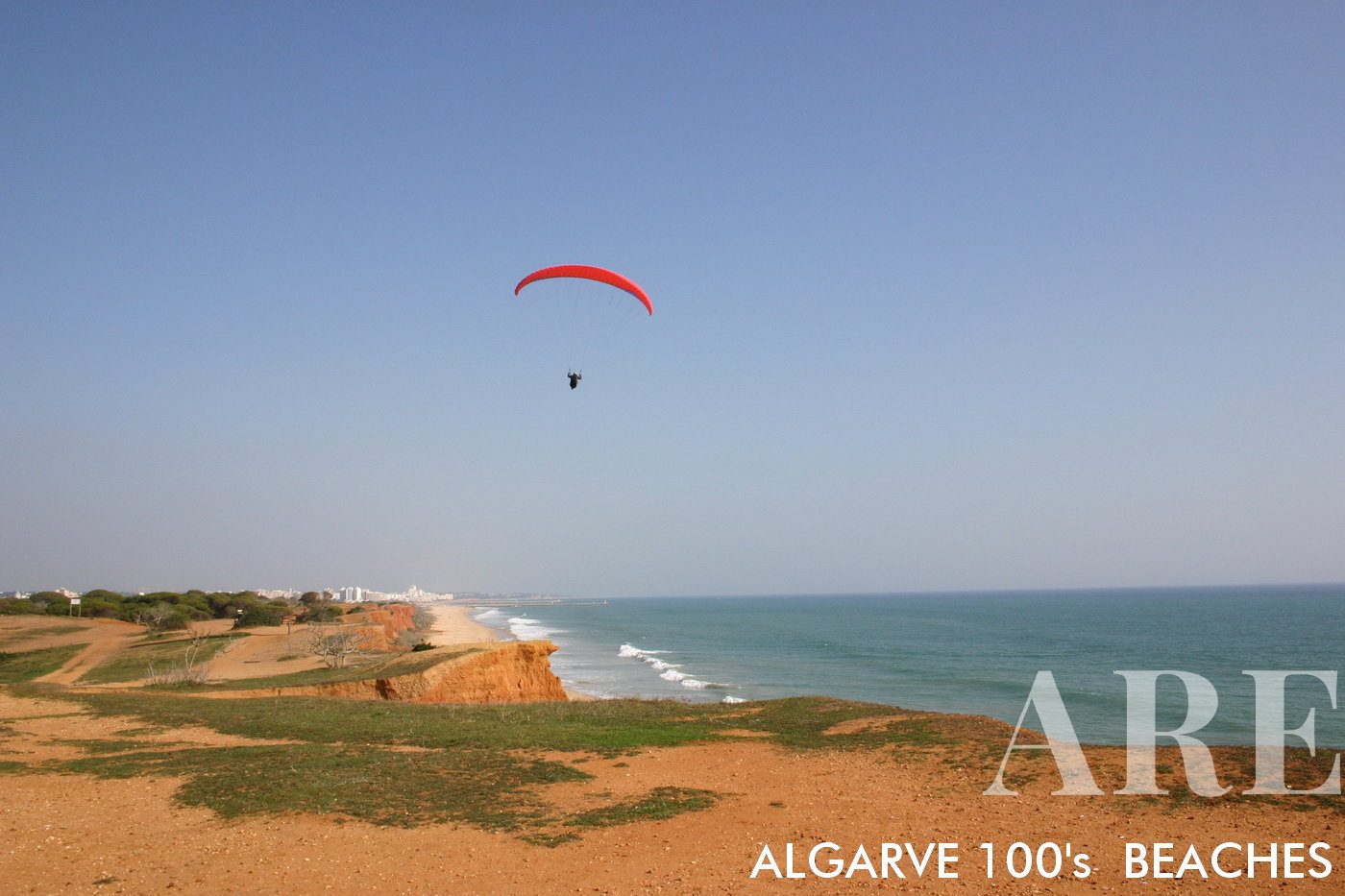
paragliding over the cliffs of Falésia beach

paragliding over the cliffs of Falésia beach

  1. see on the map
Sunset in 2009...

Sunset in 2009…

  1. see on the map
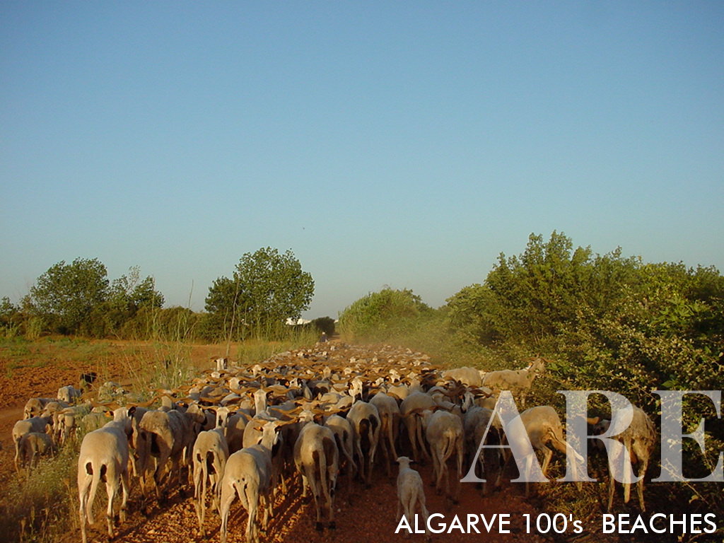
Beyond the falésia beach, life unfolds naturally, marked by pastoral and agricultural traditions. Herdsmen tend to their flocks while farmers cultivate the fertile land, keeping age-old practices alive. This peaceful hinterland presents a stark, yet beautiful contrast to the beachfront, offering a glimpse into the region's rich rural life and the tranquility that comes with it.

Beyond the falésia beach, life unfolds naturally, marked by pastoral and agricultural traditions. Herdsmen tend to their flocks while farmers cultivate the fertile land, keeping age-old practices alive. This peaceful hinterland presents a stark, yet beautiful contrast to the beachfront, offering a glimpse into the region’s rich rural life and the tranquility that comes with it.

  1. see on the map
Rocha Baixinha beach

Rocha Baixinha beach

  1. see on the map
Rocha Baixinha beach

Rocha Baixinha beach

  1. see on the map
Experience an enchanting sunset at Falésia Beach in the Algarve. This captivating location is a regular choice for hiking and walking enthusiasts, offering various entry points along the beach stretch from Vilamoura to Albufeira. Starting from Falésia Beach in Vilamoura near the marina, the total distance to Barranco Beach spans 5 kilometers. Yet, during low tide, you can explore even further, reaching Olhos de Água and extending your journey to the end of Albufeira, approximating a 12-kilometer walk in each direction. Note that certain sections of the path require walking on the cliff top, adding an adventurous twist to your beachside exploration

Experience an enchanting sunset at Falésia Beach in the Algarve. This captivating location is a regular choice for hiking and walking enthusiasts, offering various entry points along the beach stretch from Vilamoura to Albufeira. Starting from Falésia Beach in Vilamoura near the marina, the total distance to Barranco Beach spans 5 kilometers. Yet, during low tide, you can explore even further, reaching Olhos de Água and extending your journey to the end of Albufeira, approximating a 12-kilometer walk in each direction. Note that certain sections of the path require walking on the cliff top, adding an adventurous twist to your beachside exploration

  1. see on the map
West view in March. A serene ambiance in Rocha Baixinha's Falésia Beach. With a cliffside walking path tracing its contour, the beach becomes a scene of tranquil activity. The paragliders dotting the clear sky add an exhilarating dimension, while beachgoers, enjoying a stroll on the pristine sands, contribute to the vibrant yet peaceful atmosphere
West view in March. A serene ambiance in Rocha Baixinha’s Falésia Beach. With a cliffside walking path tracing its contour, the beach becomes a scene of tranquil activity. The paragliders dotting the clear sky add an exhilarating dimension, while beachgoers, enjoying a stroll on the pristine sands, contribute to the vibrant yet peaceful atmosphere

  1. see on the map

East view of Falésia Rocha Baixinha Beach, where the horizon meets the azure sea. The nearby allure of Vilamoura is just a leisurely 10-minute stroll away, making this location an idyllic blend of serene beachfront and vibrant resort

  1. see on the map
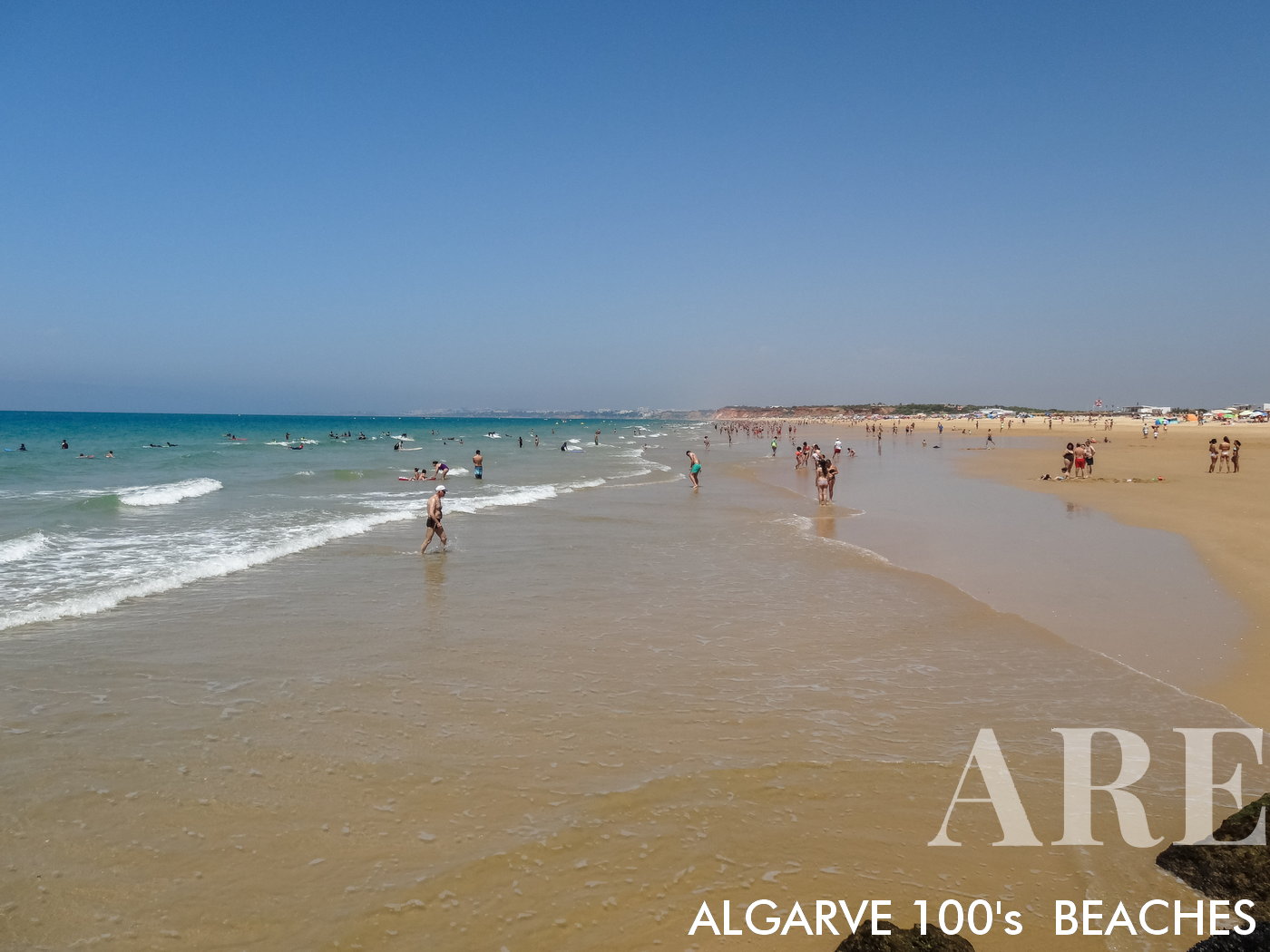
Falésia Beach, renowned for its expansive sandy stretch, offers a unique beach experience due to its distinctive low tide effect. The water remains waist-deep even 10 meters away from the shore, creating an extended shallow area perfect for a variety of activities. Whether you're looking to take a leisurely swim, engage in water sports, or simply enjoy the calming waves around you, Falésia Beach provides the perfect setting.
Falésia Beach, renowned for its expansive sandy stretch, offers a unique beach experience due to its distinctive low tide effect. The water remains waist-deep even 10 meters away from the shore, creating an extended shallow area perfect for a variety of activities. Whether you’re looking to take a leisurely swim, engage in water sports, or simply enjoy the calming waves around you, Falésia Beach provides the perfect setting.

  1. see on the map
view of Falésia beach from the starboard pier of Vilamoura marina

view of Falésia beach from the starboard pier of Vilamoura marina

  1. see on the map
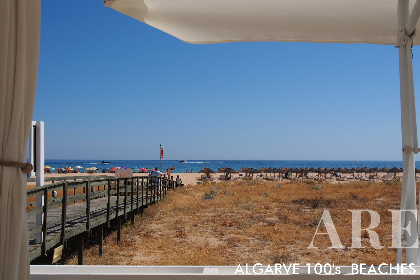
Falésia Beach not only offers natural beauty and outdoor adventures but also a thriving food scene. Here, you can savor freshly caught fish served in local restaurants, providing a true taste of the sea. Among these culinary gems is a renowned Thai restaurant known for its exquisite cuisine. But it's not just the food that draws people in - the panoramic views are absolutely breathtaking, adding to the overall dining experience. Plus, don't miss their Sunday afternoon parties, an event that combines great food, scenic views, and lively entertainment, making it a must-visit spot on your beach trip.
Falésia Beach not only offers natural beauty and outdoor adventures but also a thriving food scene. Here, you can savor freshly caught fish served in local restaurants, providing a true taste of the sea. Among these culinary gems is a renowned Thai restaurant known for its exquisite cuisine. But it’s not just the food that draws people in – the panoramic views are absolutely breathtaking, adding to the overall dining experience. Plus, don’t miss their Sunday afternoon parties, an event that combines great food, scenic views, and lively entertainment, making it a must-visit spot on your beach trip.

  1. see on the map
Starfish at Falésia rocha Baixinha beach

Starfish at Falésia rocha Baixinha beach

  1. see on the map
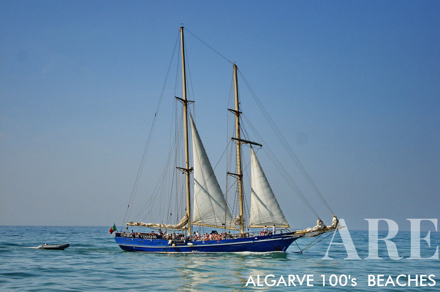
Condor de Vilamoura, boat trips. Thanks to its proximity to the marina, Falésia Beach provides easy access to boating trips and a sailing club, offering an exhilarating way to explore the stunning Algarve coastline from a different perspective.
Condor de Vilamoura, boat trips. Thanks to its proximity to the marina, Falésia Beach provides easy access to boating trips and a sailing club, offering an exhilarating way to explore the stunning Algarve coastline from a different perspective.

  1. see on the map
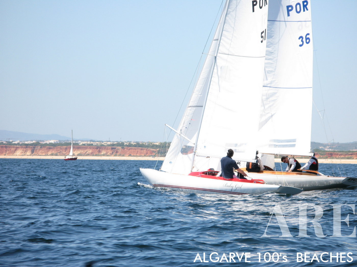
The nearby sailing club CIMAV and Vilamoura SAILING indeed adds an extra layer of adventure to your stay at Falésia Beach. Catering to nautical enthusiasts, this club provides sport sailing activities that can make your beach vacation even more thrilling. Whether you're a seasoned sailor or a beginner looking to try something new, these sporting opportunities offer a unique way to engage with the sea. Here, you can harness the wind, navigate the waters, and experience the thrill of sailing.
The nearby sailing club CIMAV and Vilamoura SAILING indeed adds an extra layer of adventure to your stay at Falésia Beach. Catering to nautical enthusiasts, this club provides sport sailing activities that can make your beach vacation even more thrilling. Whether you’re a seasoned sailor or a beginner looking to try something new, these sporting opportunities offer a unique way to engage with the sea. Here, you can harness the wind, navigate the waters, and experience the thrill of sailing.

  1. see on the map
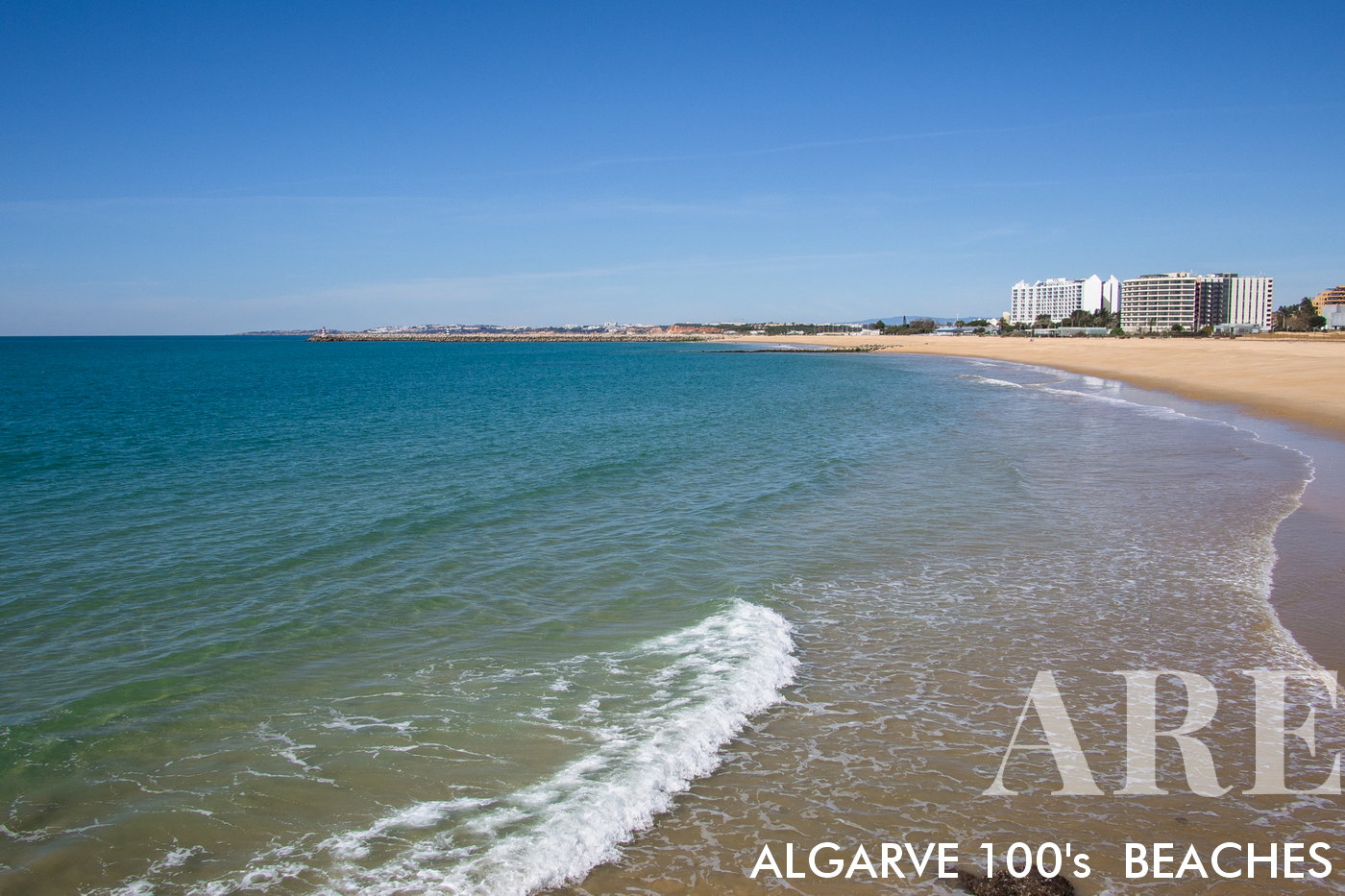
A praia de Vilamoura situa-se em frente à zona de hoteis litoral e do casino de Vilamoura, entre o molhe de estibordo da Marina de Vilamoura e o Porto de pesca de Quarteira. A praia praia de Vilamoura dispões de vários restaurantes e bares de praia com esplanadas. Os hoteis mais perto desta praia são o Tivoli Marina Hotel, o hotel Vila Galé e o Hotel Crowne Plaza. Na linha de trás vai encontrar o centro turístico de Vilamoura.
A praia de Vilamoura situa-se em frente à zona de hoteis litoral e do casino de Vilamoura, entre o molhe de estibordo da Marina de Vilamoura e o Porto de pesca de Quarteira. A praia praia de Vilamoura dispões de vários restaurantes e bares de praia com esplanadas. Os hoteis mais perto desta praia são o Tivoli Marina Hotel, o hotel Vila Galé e o Hotel Crowne Plaza. Na linha de trás vai encontrar o centro turístico de Vilamoura.

  1. see on the map
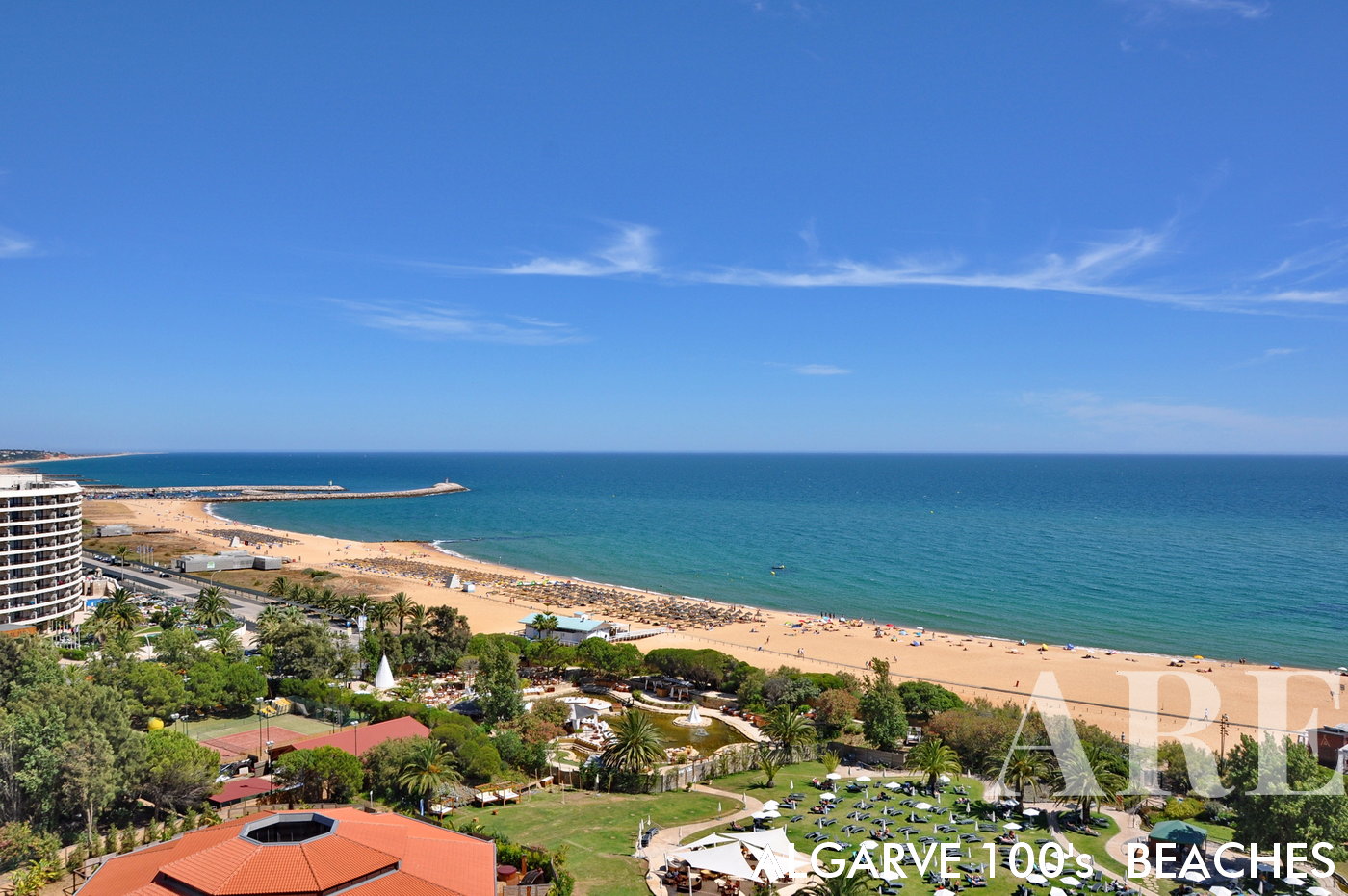
A praia e Vilamoura é muito visitada pelos hóspedes dos hoteis situados frente à praia. Nesta fotografia podemos apreciar a vista da praia de Vilamoura desde um quarto do hotel Tivoli Marina
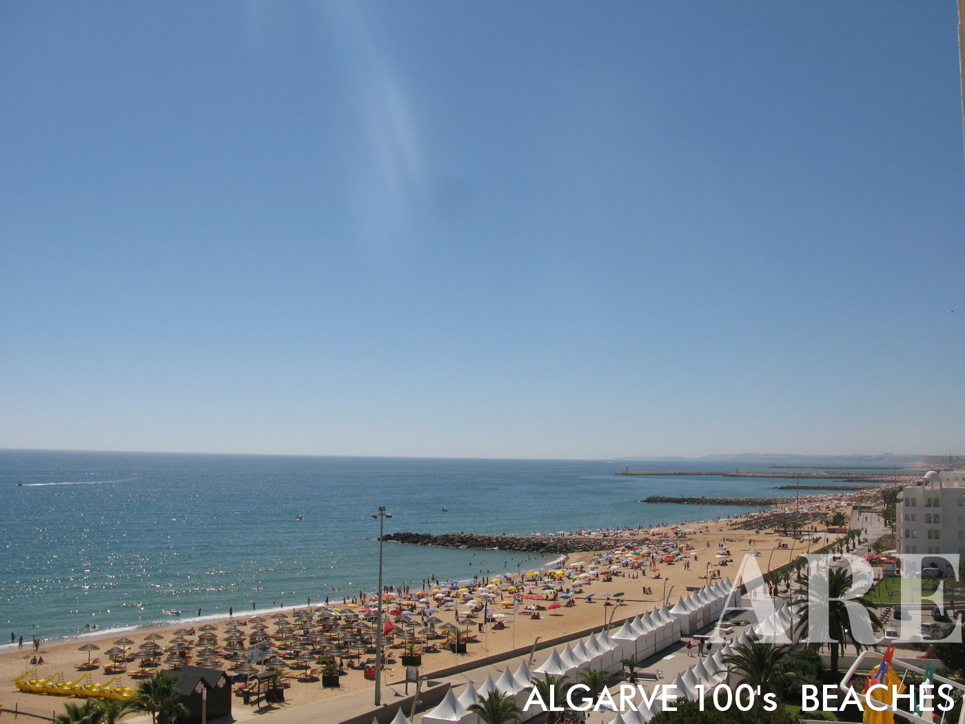
A praia e Vilamoura é muito visitada pelos hóspedes dos hoteis situados frente à praia. Nesta fotografia podemos apreciar a vista da praia de Vilamoura desde um quarto do hotel Tivoli Marina

  1. see on the map
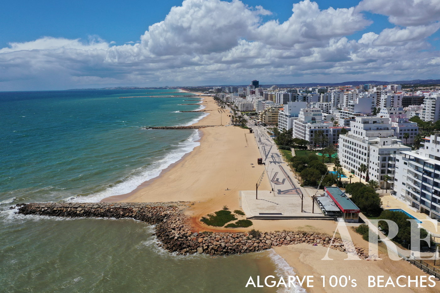
Quarteira is a city known for its seafront promenade. Its beaches, separated by breakwaters, are supervised during the bathing season, ensuring a safe and enjoyable seaside experience. The area is abundant with a wide range of facilities including restaurants, bars, hotels, bakeries, shops, and services, catering to all your needs. Given its family-friendly nature and the multitude of amenities, Quarteira has become a popular destination for families seeking a bustling beachside city life. The city's vibrant atmosphere combined with the serene beauty of its beaches makes Quarteira a sought-after location for both relaxation and entertainment.
Quarteira is a city known for its seafront promenade. Its beaches, separated by breakwaters, are supervised during the bathing season, ensuring a safe and enjoyable seaside experience. The area is abundant with a wide range of facilities including restaurants, bars, hotels, bakeries, shops, and services, catering to all your needs. Given its family-friendly nature and the multitude of amenities, Quarteira has become a popular destination for families seeking a bustling beachside city life. The city’s vibrant atmosphere combined with the serene beauty of its beaches makes Quarteira a sought-after location for both relaxation and entertainment.

  1. see on the map
Quarteira sunset

Quarteira sunset

  1. see on the map
Quarteira beaches

Quarteira beaches

  1. see on the map
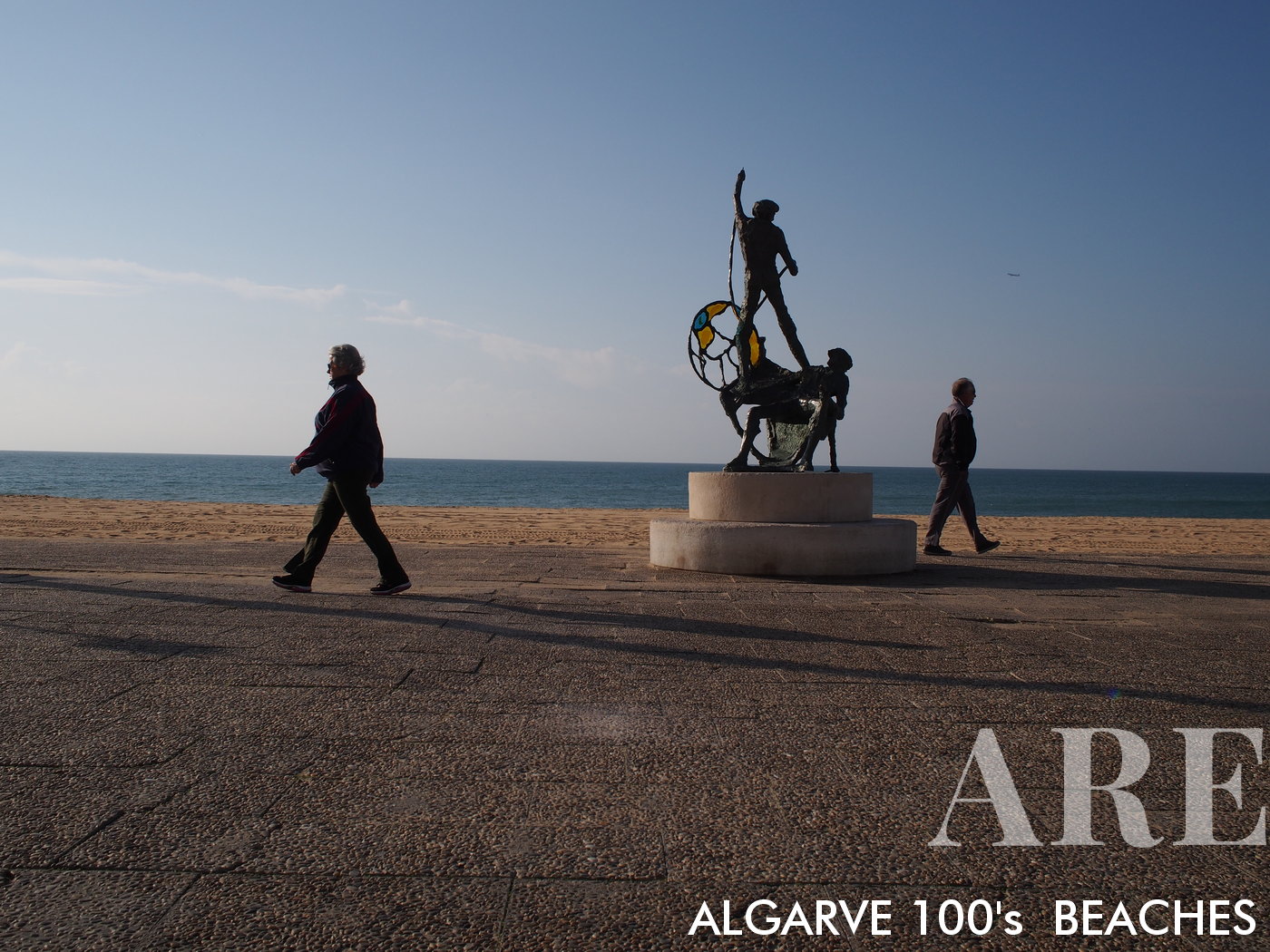
monument to fishermen in front of Quarteira beach

monument to fishermen in front of Quarteira beach

  1. see on the map
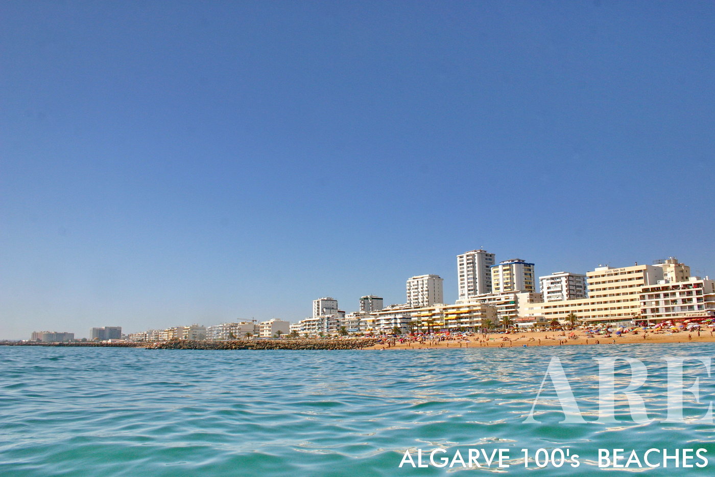
beaches of Quarteira seen from the sea with skyline in the backgrond

beaches of Quarteira seen from the sea with skyline in the backgrond

  1. see on the map
Quarteira beaches

Quarteira beaches

  1. see on the map
Quarteira beaches

Quarteira beaches

  1. see on the map
Winter Quarteira beaches aerial view

Winter Quarteira beaches aerial view

  1. see on the map
Quarteira beach winter january suntset

Quarteira beach winter january suntset

  1. see on the map
Forte Novo beach in the winter

Forte Novo beach in the winter

  1. see on the map
Forte Novo beach

Forte Novo beach

  1. see on the map
Forte Novo beach

Forte Novo beach

  1. see on the map
Almargem beach

Almargem beach

  1. see on the map
Trafal beach

Trafal beach

  1. see on the map
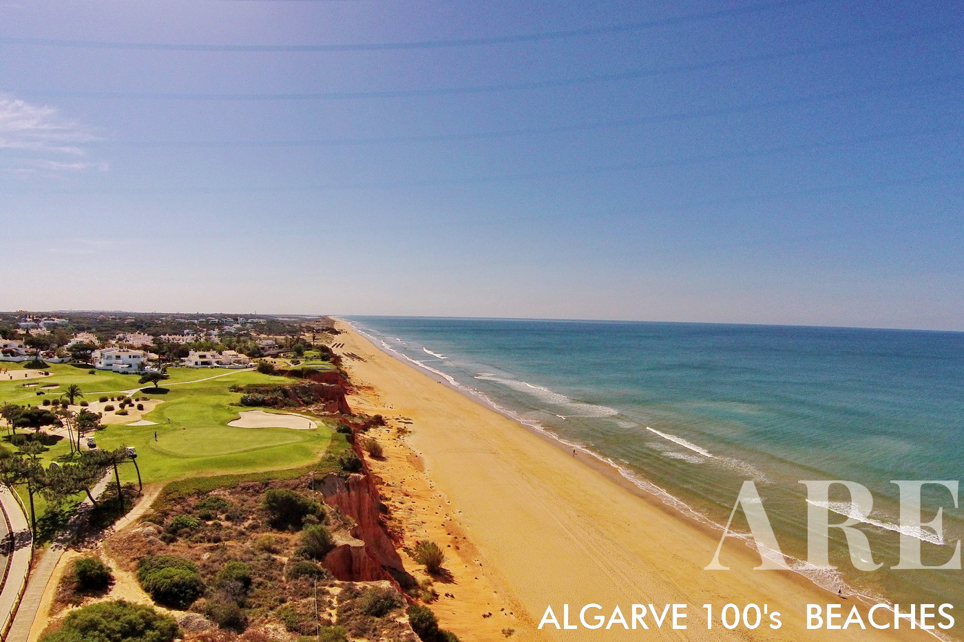
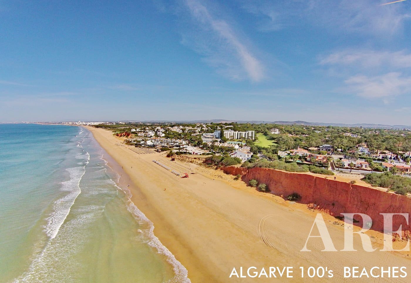
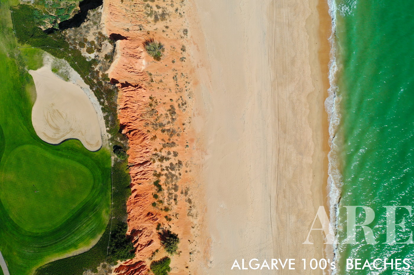
Vale do Lobo beaches

Vale do Lobo beachesOne notable feature of the beaches in Vale do Lobo is their close proximity to the golf courses, resulting in a seamless transition from sandy shores to the adjacent grassy areas of the golf course. As you move closer to the golf course, you will encounter stretches of beach where the sandy coastline meets the manicured fairways and greens of the golf course. This creates a fascinating contrast between the traditional beach environment and the well-maintained landscape of the golf course.Vale do Lobo is also renowned for its famous 16th hole on the golf course. This particular hole is widely recognized and admired for its challenging design and stunning views, adding to the allure of the area.

  1. see on the map
beach from the Vale do Lobo golf course

beach from the Vale do Lobo golf course

  1. see on the map
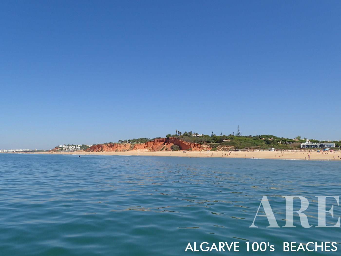
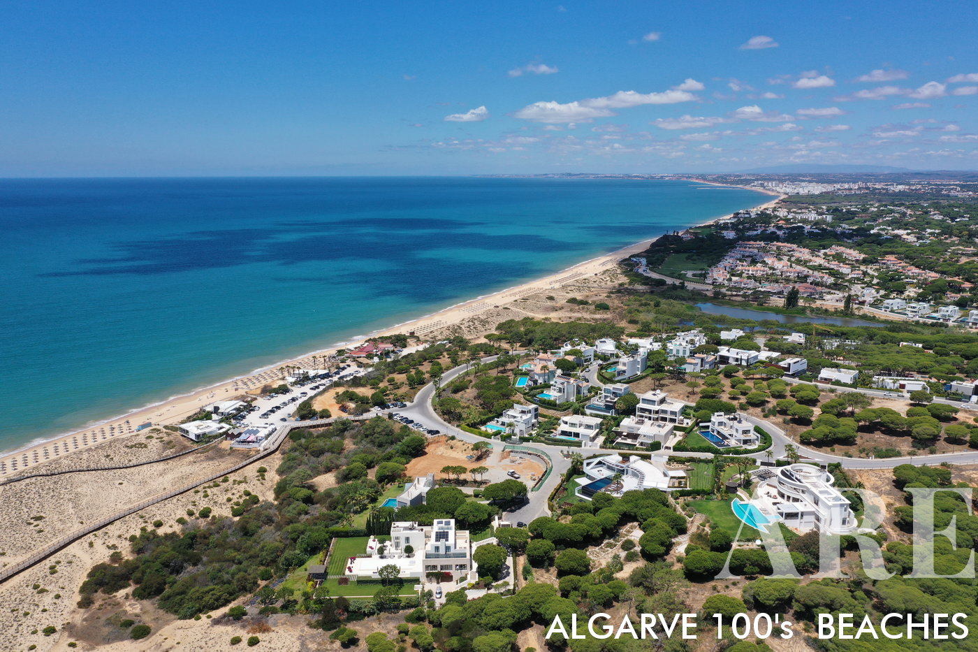
Vale do Lobo Beach boasts an expansive stretch of sand extending approximately 14 kilometers, from Forte Novo in Quarteira all the way to Faro
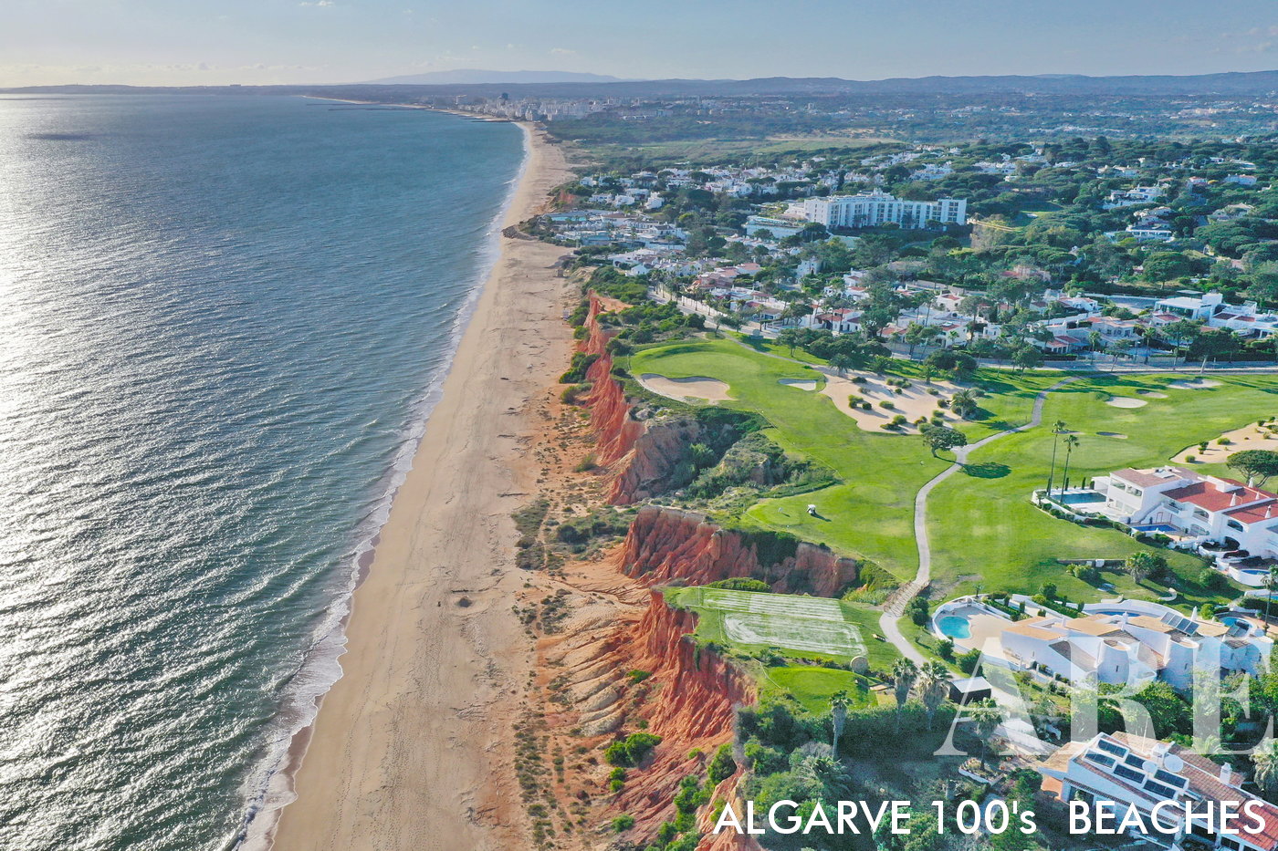
Vale do Lobo Beach boasts an expansive stretch of sand extending approximately 14 kilometers, from Forte Novo in Quarteira all the way to Faro

  1. see on the map
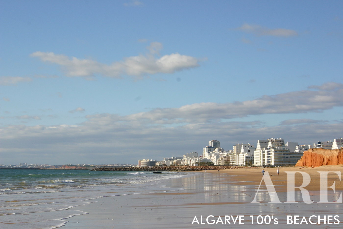
The view from Vale do Lobo beach towards the west encompasses the scenic stretch of coastline leading to the city of Quarteira and the Atlantic Ocean.
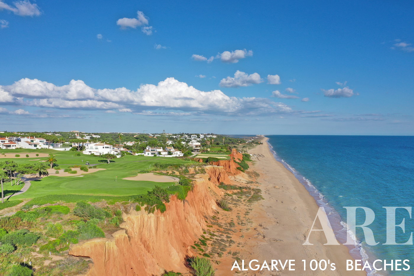
The view from Vale do Lobo beach towards the west encompasses the scenic stretch of coastline leading to the city of Quarteira and the Atlantic Ocean.

  1. see on the map
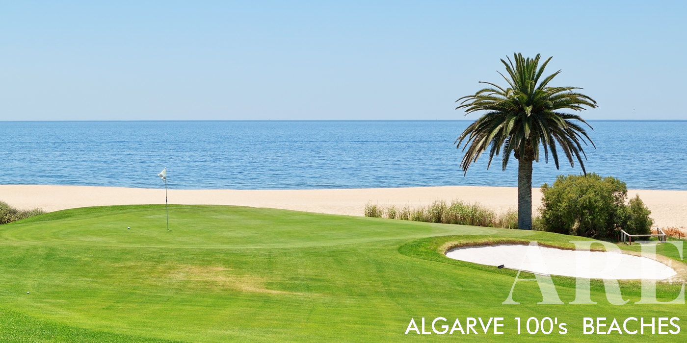
The view from the 16th hole of Vale do Lobo golf course offers a spectacular panorama that combines the lush green fairways with the breathtaking beauty of the adjacent beach. As golfers stand on the tee box or fairway, they are treated to a picturesque scene where the meticulously maintained golf course seamlessly merges with the sandy shores and the azure waters of the ocean.
The view from the 16th hole of Vale do Lobo golf course offers a spectacular panorama that combines the lush green fairways with the breathtaking beauty of the adjacent beach. As golfers stand on the tee box or fairway, they are treated to a picturesque scene where the meticulously maintained golf course seamlessly merges with the sandy shores and the azure waters of the ocean.

  1. see on the map
Vale do Lobo Beach view to Faro

Vale do Lobo Beach view to Faro

  1. see on the map
Vale do Lobo Beach view to Quarteira

Vale do Lobo Beach view to Quarteira

  1. see on the map
Garrão and Ancão Beaches are two of Algarve's hidden gems, nestled between the bustling areas of Quinta do Lago and Vale do Lobo. Both beaches boast golden sand and clear, azure waters, providing an idyllic setting for beachgoers to unwind and bask in the sun.
Garrão and Ancão Beaches are two of Algarve’s hidden gems, nestled between the bustling areas of Quinta do Lago and Vale do Lobo. Both beaches boast golden sand and clear, azure waters, providing an idyllic setting for beachgoers to unwind and bask in the sun.

  1. see on the map
Anção Beach, located between Quinta do Lago and Vale do Lobo, is not only known for its stunning natural beauty but also for its excellent selection of restaurants. This beachfront area is home to a variety of dining establishments, ranging from beachside cafes to upscale restaurants.
Anção Beach, located between Quinta do Lago and Vale do Lobo, is not only known for its stunning natural beauty but also for its excellent selection of restaurants. This beachfront area is home to a variety of dining establishments, ranging from beachside cafes to upscale restaurants.

  1. see on the map
paddle surf in front of Garrão beach

paddle surf in front of Garrão beach

  1. see on the map
Ancão Beach

Ancão Beach

  1. see on the map
Garrão beach

Garrão beach

  1. see on the map
Quinta do Lago beach

Quinta do Lago beach

  1. see on the map
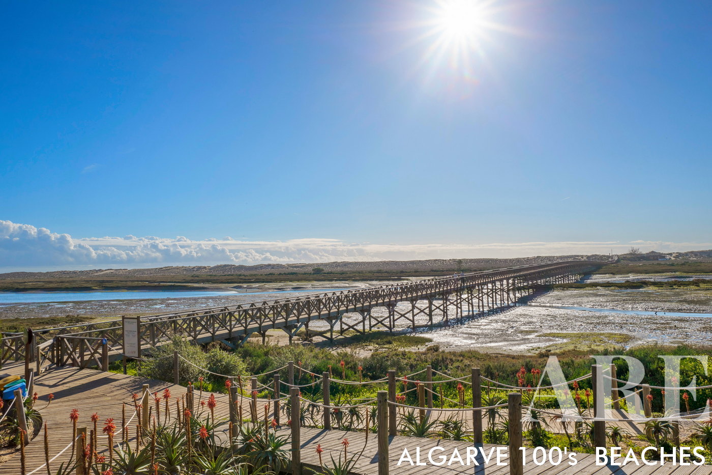
Quinta do Lago Beach, accessible via a bridge, is just a short 500-meter walk away. This convenient bridge connection provides easy access for visitors to reach the pristine shores of Quinta do Lago. As you make your way across the bridge, you'll be greeted by the tranquil beauty of the beach, with its soft sand and sparkling waters. The proximity and accessibility of the beach allow for a seamless transition from the charming resort area of Quinta do Lago to the natural splendor of the coastline.

Quinta do Lago Beach, accessible via a bridge, is just a short 500-meter walk away. This convenient bridge connection provides easy access for visitors to reach the pristine shores of Quinta do Lago. As you make your way across the bridge, you’ll be greeted by the tranquil beauty of the beach, with its soft sand and sparkling waters. The proximity and accessibility of the beach allow for a seamless transition from the charming resort area of Quinta do Lago to the natural splendor of the coastline.

  1. see on the map
Winter at Faro beach

Winter at Faro beach

  1. see on the map
Faro Beach Island, also known as Ilha de Faro, is easily accessible from the mainland via a bridge that spans over the stunning Ria Formosa. This bridge provides a convenient and direct connection, allowing visitors to reach the island's pristine sandy beaches and picturesque surroundings with ease. As you cross the bridge, you'll be treated to breathtaking views of the Ria Formosa, a protected natural park renowned for its diverse ecosystems and abundant birdlife.
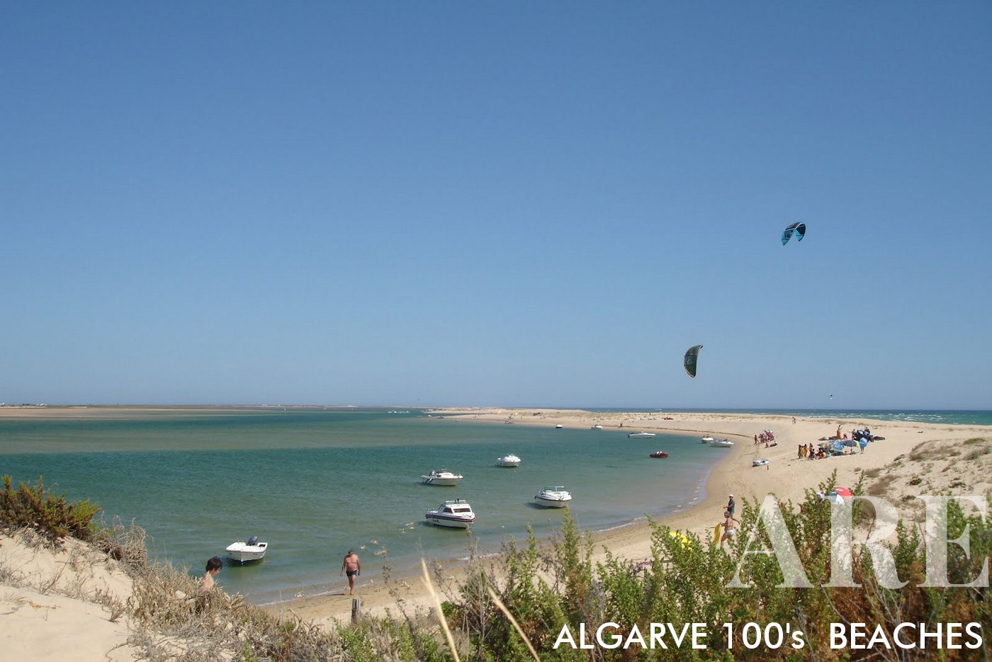
Faro Beach Island, also known as Ilha de Faro, is easily accessible from the mainland via a bridge that spans over the stunning Ria Formosa. This bridge provides a convenient and direct connection, allowing visitors to reach the island’s pristine sandy beaches and picturesque surroundings with ease. As you cross the bridge, you’ll be treated to breathtaking views of the Ria Formosa, a protected natural park renowned for its diverse ecosystems and abundant birdlife.

  1. see on the map
Barrinha de Faro Beach is a stunning coastal gem located near Faro, Portugal. This beach is known for its natural beauty and unique setting, as it is nestled between the Atlantic Ocean and the picturesque Ria Formosa lagoon.
Barrinha de Faro Beach is a stunning coastal gem located near Faro, Portugal. This beach is known for its natural beauty and unique setting, as it is nestled between the Atlantic Ocean and the picturesque Ria Formosa lagoon.

  1. see on the map
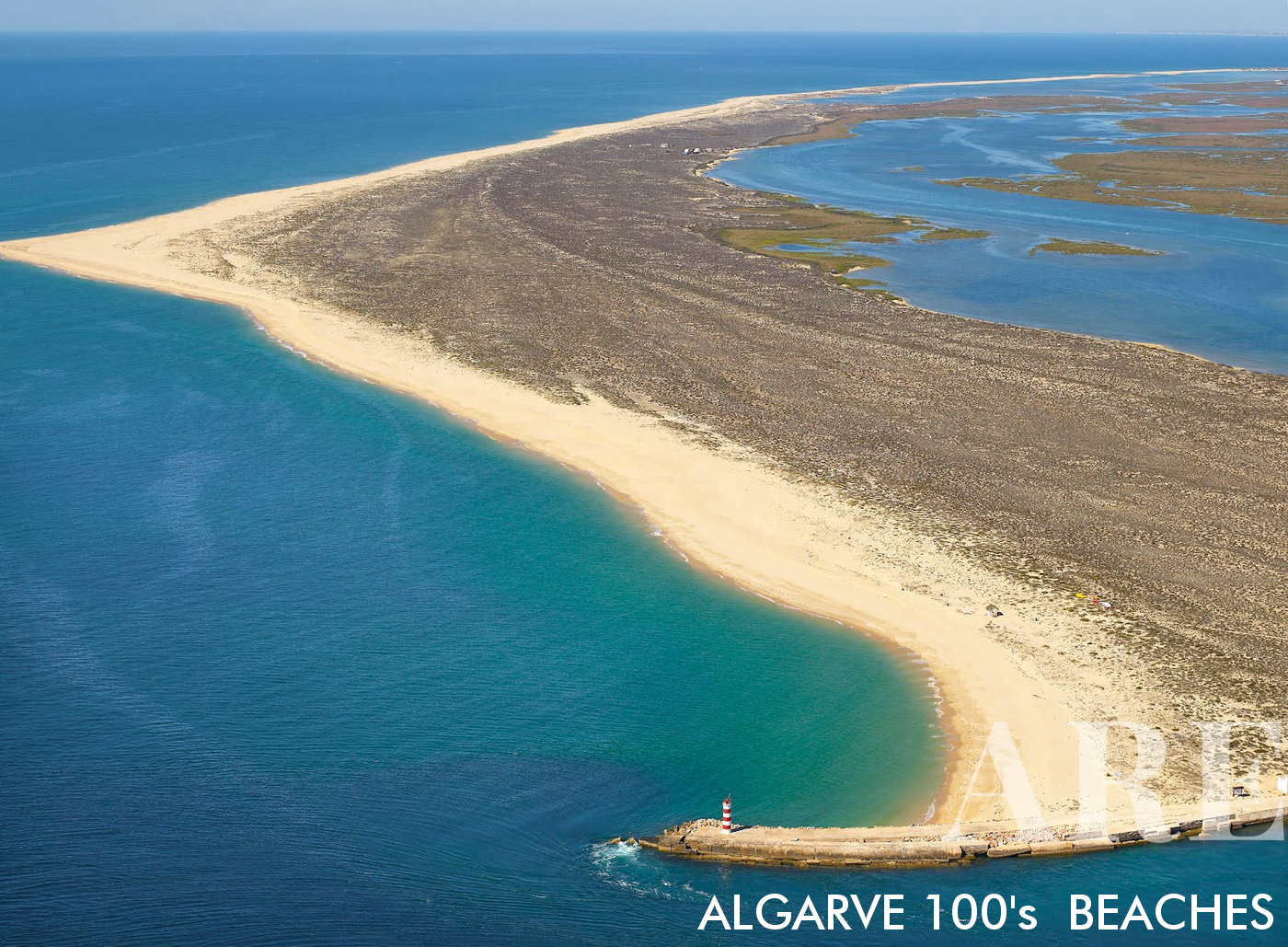
Deserta Island Beach, also known as Ilha Deserta, is a pristine paradise situated in the Ria Formosa Natural Park, near Faro, Portugal. This island is uninhabited, providing visitors with a secluded and unspoiled coastal experience.

Deserta Island Beach, also known as Ilha Deserta, is a pristine paradise situated in the Ria Formosa Natural Park, near Faro, Portugal. This island is uninhabited, providing visitors with a secluded and unspoiled coastal experience.

Access to Deserta Island is typically by boat, offering a sense of adventure as you embark on a short journey across the shimmering waters.
  1. see on the map
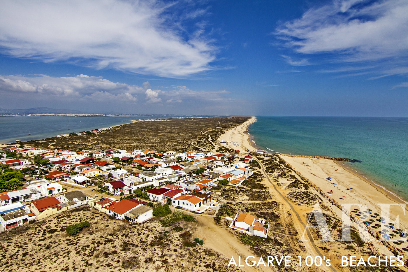
Aldeia do Farol is renowned for its relaxed atmosphere and traditional fishing village ambiance. The village is a collection of colorful houses and narrow streets, creating a quaint and picturesque setting. It's a place where time seems to slow down, allowing visitors to truly unwind and immerse themselves in the local culture.
Aldeia do Farol is renowned for its relaxed atmosphere and traditional fishing village ambiance. The village is a collection of colorful houses and narrow streets, creating a quaint and picturesque setting. It’s a place where time seems to slow down, allowing visitors to truly unwind and immerse themselves in the local culture.

  1. see on the map
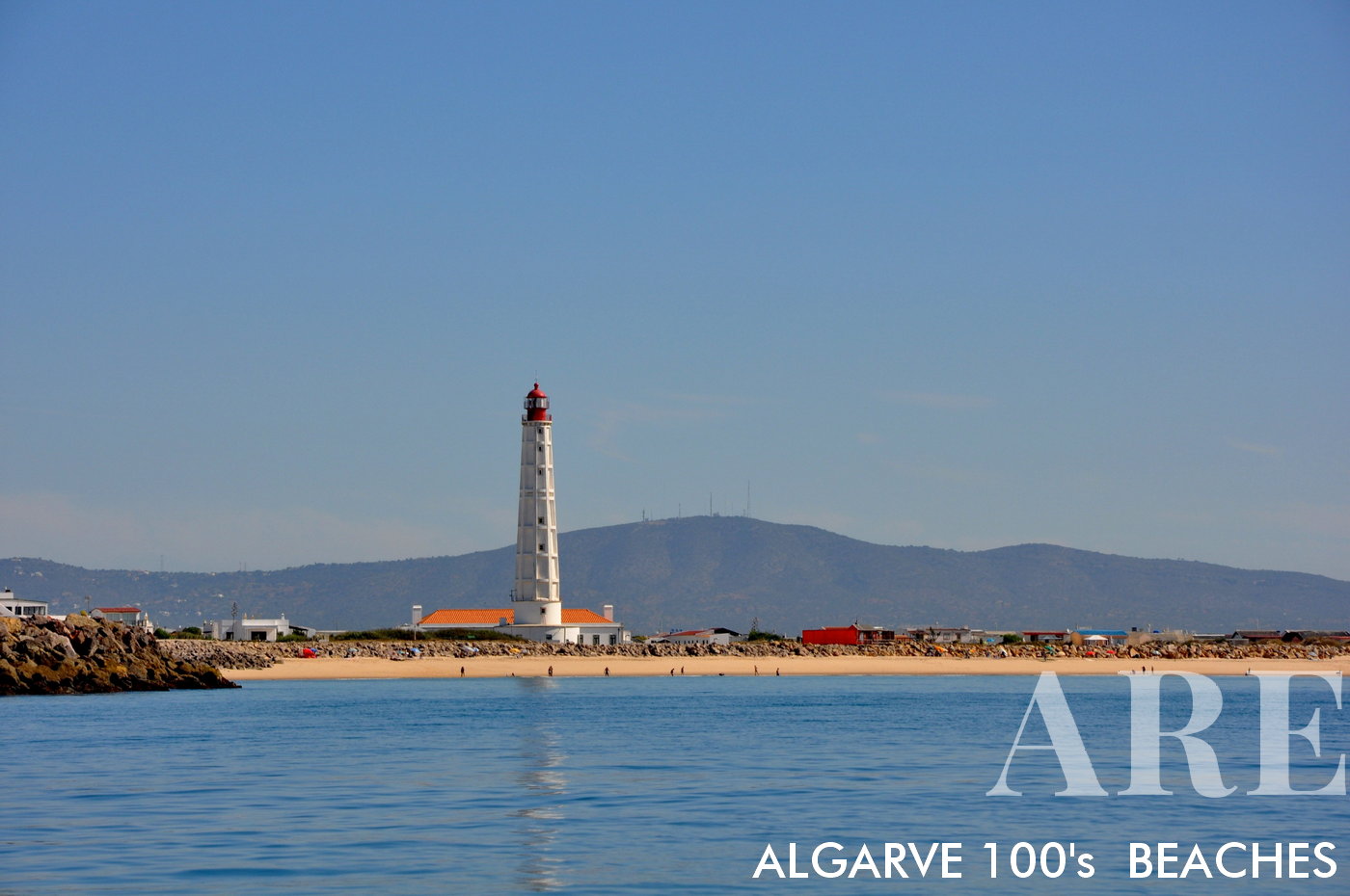
Farol Beach, located on Culatra Island in the Ria Formosa Natural Park near Faro. Farol Beach is named after the picturesque lighthouse, Farol do Cabo de Santa Maria, which stands proudly on the island. The lighthouse adds to the charm of the beach and serves as a landmark for visitors.

Farol Beach, located on Culatra Island in the Ria Formosa Natural Park near Faro. Farol Beach is named after the picturesque lighthouse, Farol do Cabo de Santa Maria, which stands proudly on the island. The lighthouse adds to the charm of the beach and serves as a landmark for visitors.

  1. see on the map
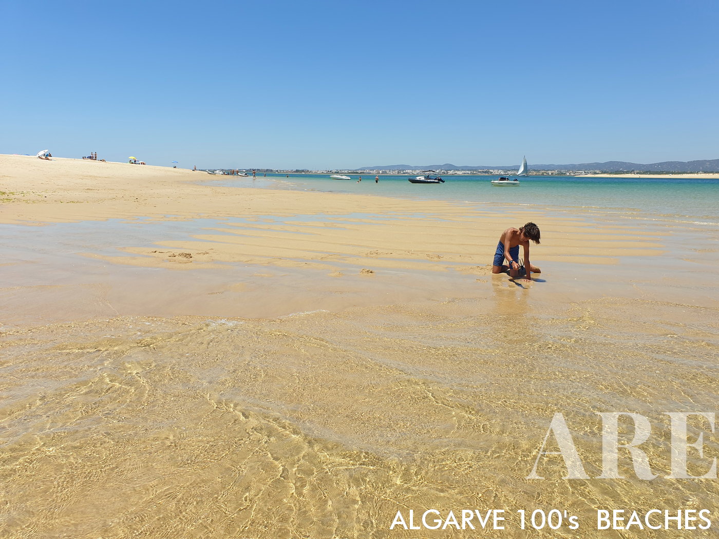
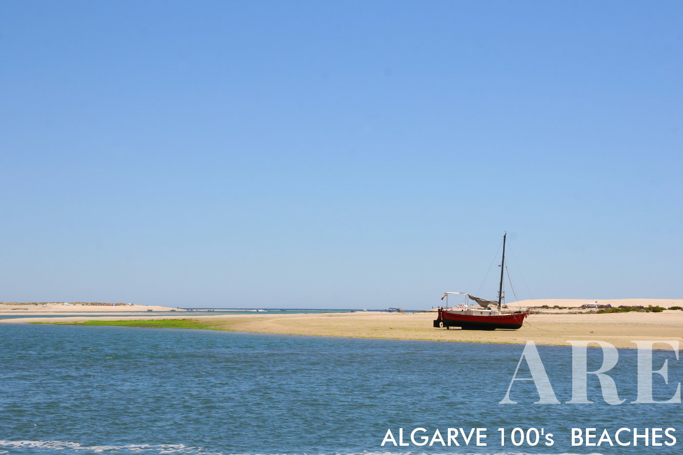
Culatra island point with low tide, with Olhão city in the background

Culatra island point with low tide, with Olhão city in the background

  1. see on the map
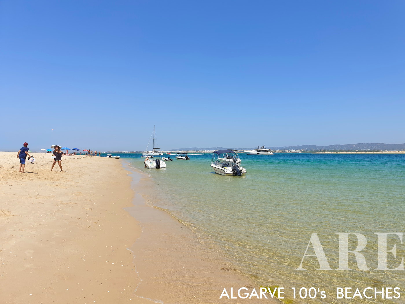
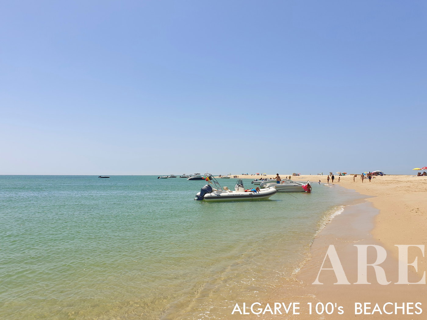
boats at Culatra island point

boats at Culatra island point

  1. see on the map
Culatra island point with low tide, with Olhão city in the background

Culatra island point with low tide, with Olhão city in the background

  1. see on the map
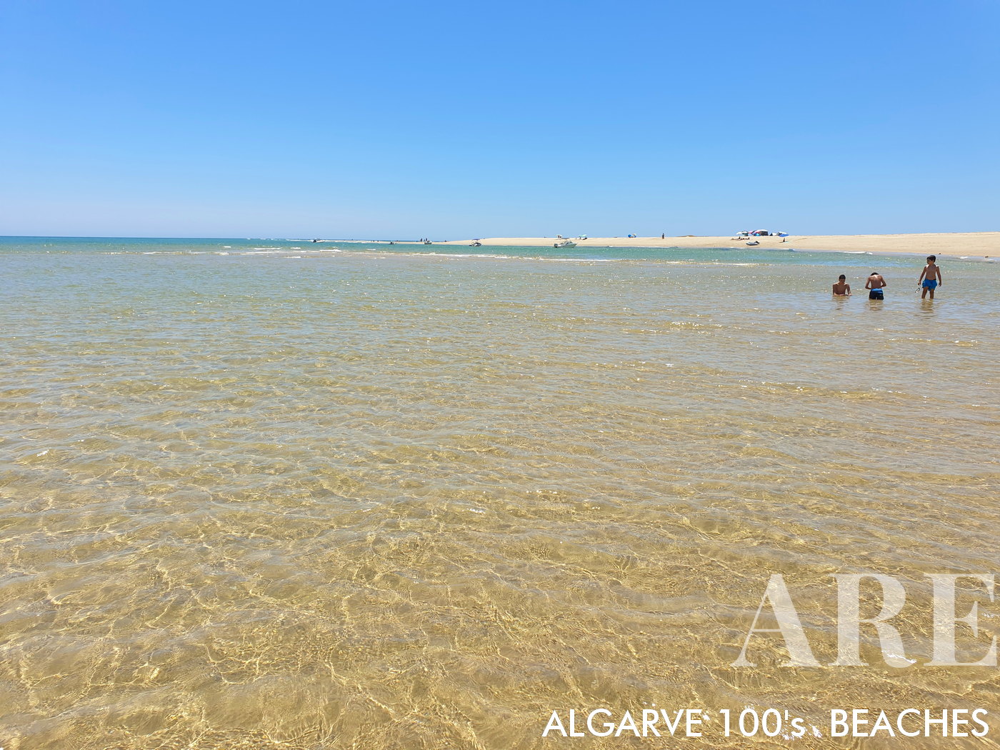
summer atmosphere in the transparent waters of Culatra

summer atmosphere in the transparent waters of Culatra

  1. see on the map
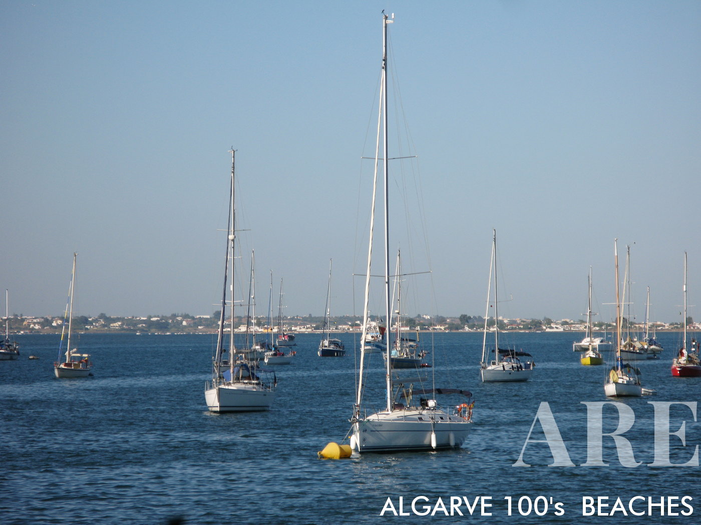
sailboats anchored in Culatra Ria Formosa

sailboats anchored in Culatra Ria Formosa

Eastern Algarve Beaches (Leeward) – From Armona to Vila Real de Santo António

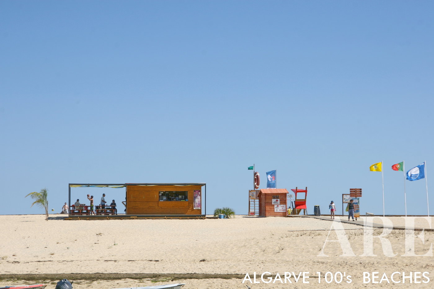
The Eastern Algarve beaches, spanning from the idyllic island of Armona to the historic town of Vila Real de Santo António near the Spanish border, stand distinct with their calm, warmer waters. Shielded by the sandbar islands and the vast Ria Formosa lagoon system, these beaches forgo the rugged cliffs typical of other parts of the Algarve, instead showcasing gentle dunes that merge seamlessly into the horizon. The coastal landscape here is complemented by picturesque fishing villages and the unique Salinas (salt pans), painting a serene picture of the Algarve’s traditional coastal life.
  1. see on the map
Fuseta Beach boasts a stunning landscape with its flat expanse of white sand stretching as far as the eye can see. The pristine sands create a picturesque setting, offering ample space for sunbathing, building sandcastles, or simply strolling along the shoreline.
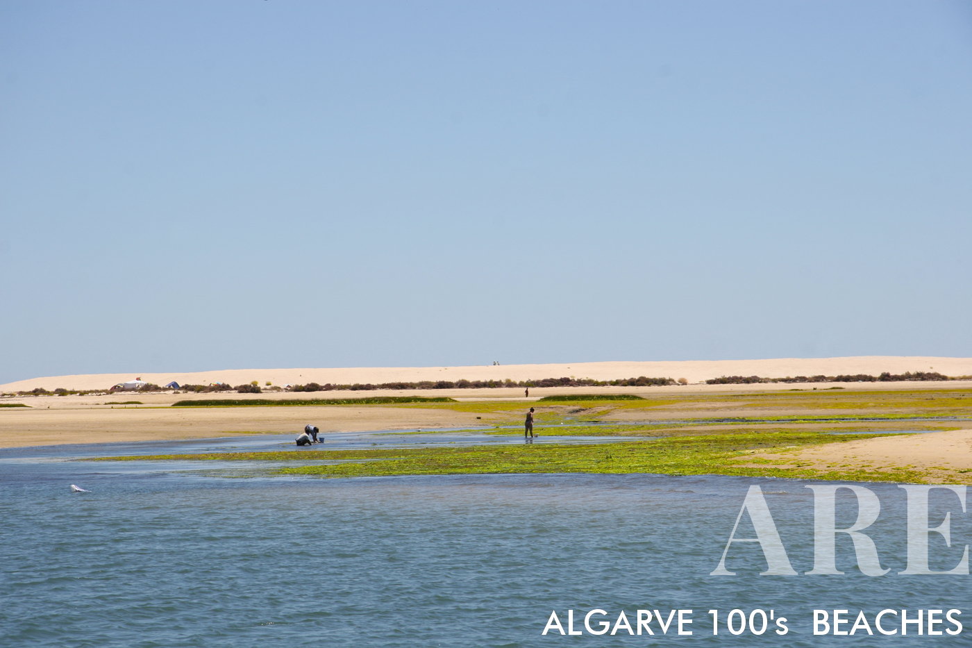
Fuseta Beach boasts a stunning landscape with its flat expanse of white sand stretching as far as the eye can see. The pristine sands create a picturesque setting, offering ample space for sunbathing, building sandcastles, or simply strolling along the shoreline.

  1. see on the map
Fuseta is the presence of local shellfish gatherers who engage in the collection of bivalves such as clams and cockles. You can observe these traditional fishermen in action, diving into the shallow waters to collect these delicious seafood delicacies.
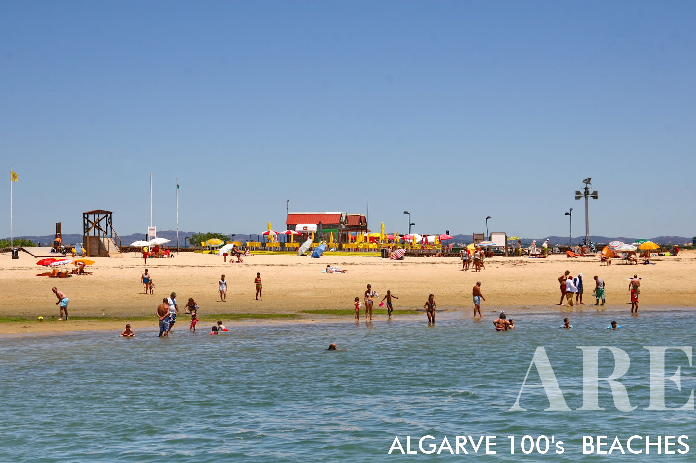
Fuseta is the presence of local shellfish gatherers who engage in the collection of bivalves such as clams and cockles. You can observe these traditional fishermen in action, diving into the shallow waters to collect these delicious seafood delicacies.

  1. see on the map
Fuseta Barra Nova beach

Fuseta Barra Nova beach

  1. see on the map
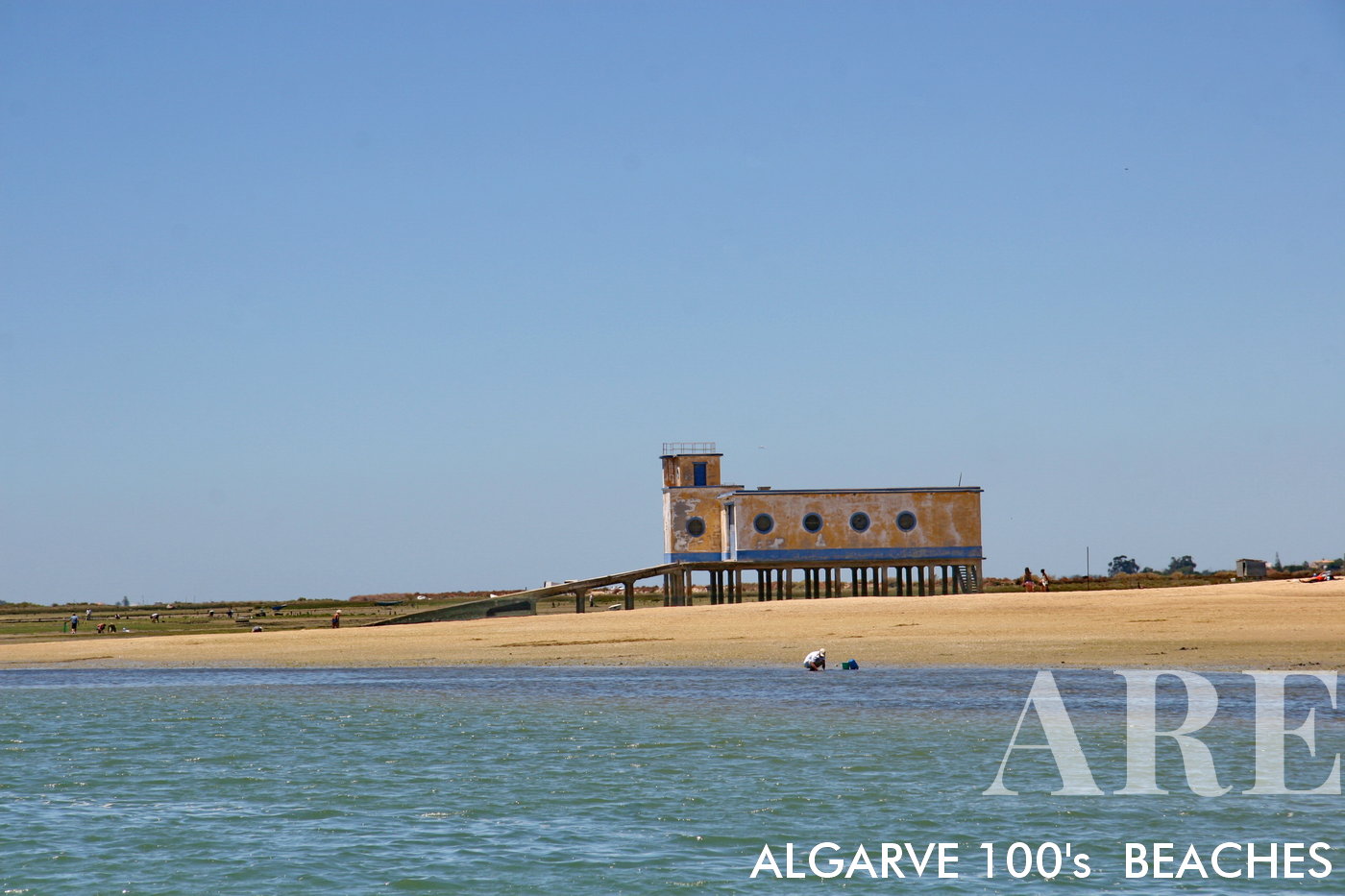
Tesos Beach in Fuseta

Tesos Beach in FusetaTesos Beach in Fuseta is a unique and historically significant beach situated within the lagoon. The name “Tesos” holds a special meaning, as it refers to a time when people in the village couldn’t afford to pay for a ticket or didn’t have access to a boat to reach the other shore. “Tesos” translates to “no money” in Portuguese, representing the financial challenges faced by the local community.This beach holds a nostalgic charm and serves as a testament to the resilience and resourcefulness of the village inhabitants. It has become an accessible and beloved spot for both locals and visitors alike, offering a tranquil and picturesque setting for a day of relaxation and enjoyment.Tesos Beach provides a connection between the village and the lagoon, allowing people to enjoy the natural beauty of the area without the need for additional transportation. With its calm waters and peaceful ambiance, Tesos Beach is a testament to the sense of community and shared experiences that have shaped the history and character of Fuseta.
  1. see on the map
The "Antiga Estação Salva-Vidas da Fuseta"

The “Antiga Estação Salva-Vidas da Fuseta”The “Antiga Estação Salva-Vidas da Fuseta” is the former lifeboat station in Fuseta. This historical building played a crucial role in maritime rescue operations in the past, serving as a base for the local lifeboat crew. Its purpose was to respond to emergencies at sea and provide assistance to vessels in distress.The Antiga Estação Salva-Vidas da Fuseta is a reminder of the maritime heritage and the brave individuals who dedicated themselves to saving lives along the coast. Although it may no longer serve its original function, the building holds cultural and historical significance in Fuseta.
  1. see on the map
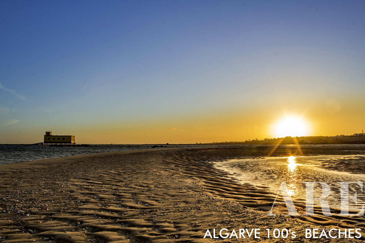
Sunset in Fuseta. The Antiga Estação Salva-Vidas da Fuseta, a historic building, stands proudly on the left side of the frame, its silhouette creating a striking contrast against the colorful sky.
Sunset in Fuseta. The Antiga Estação Salva-Vidas da Fuseta, a historic building, stands proudly on the left side of the frame, its silhouette creating a striking contrast against the colorful sky.

  1. see on the map
Terra Estreita Beach, Santa Luzia

Terra Estreita Beach, Santa Luzia

  1. see on the map
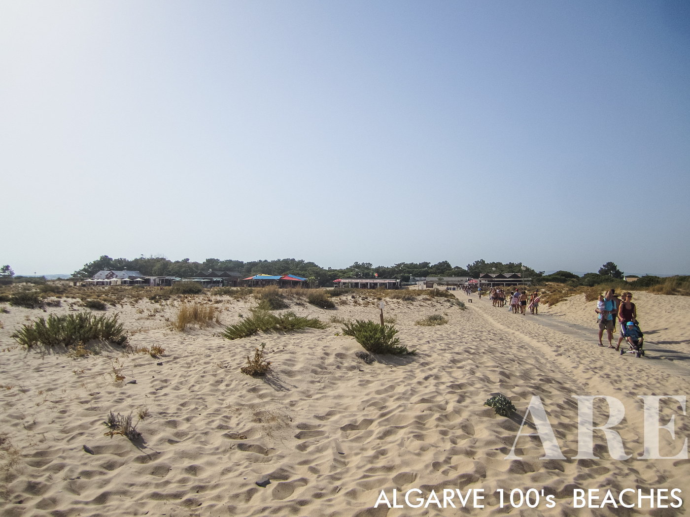
Tavira Island Beach, a pristine and expansive sandy paradise located in the Algarve, Portugal. Accessible only by boat, this long stretch of sand offers a tranquil escape for beachgoers. Indulge in the offerings of beachside restaurants and soak up the sun on comfortable loungers. On the western side of the beach, embrace the freedom of naturism.
Tavira Island Beach, a pristine and expansive sandy paradise located in the Algarve, Portugal. Accessible only by boat, this long stretch of sand offers a tranquil escape for beachgoers. Indulge in the offerings of beachside restaurants and soak up the sun on comfortable loungers. On the western side of the beach, embrace the freedom of naturism.

  1. see on the map
Cabanas de Tavira beach

Cabanas de Tavira beach

  1. see on the map
Cabanas de Tavira beach

Cabanas de Tavira beach

  1. see on the map
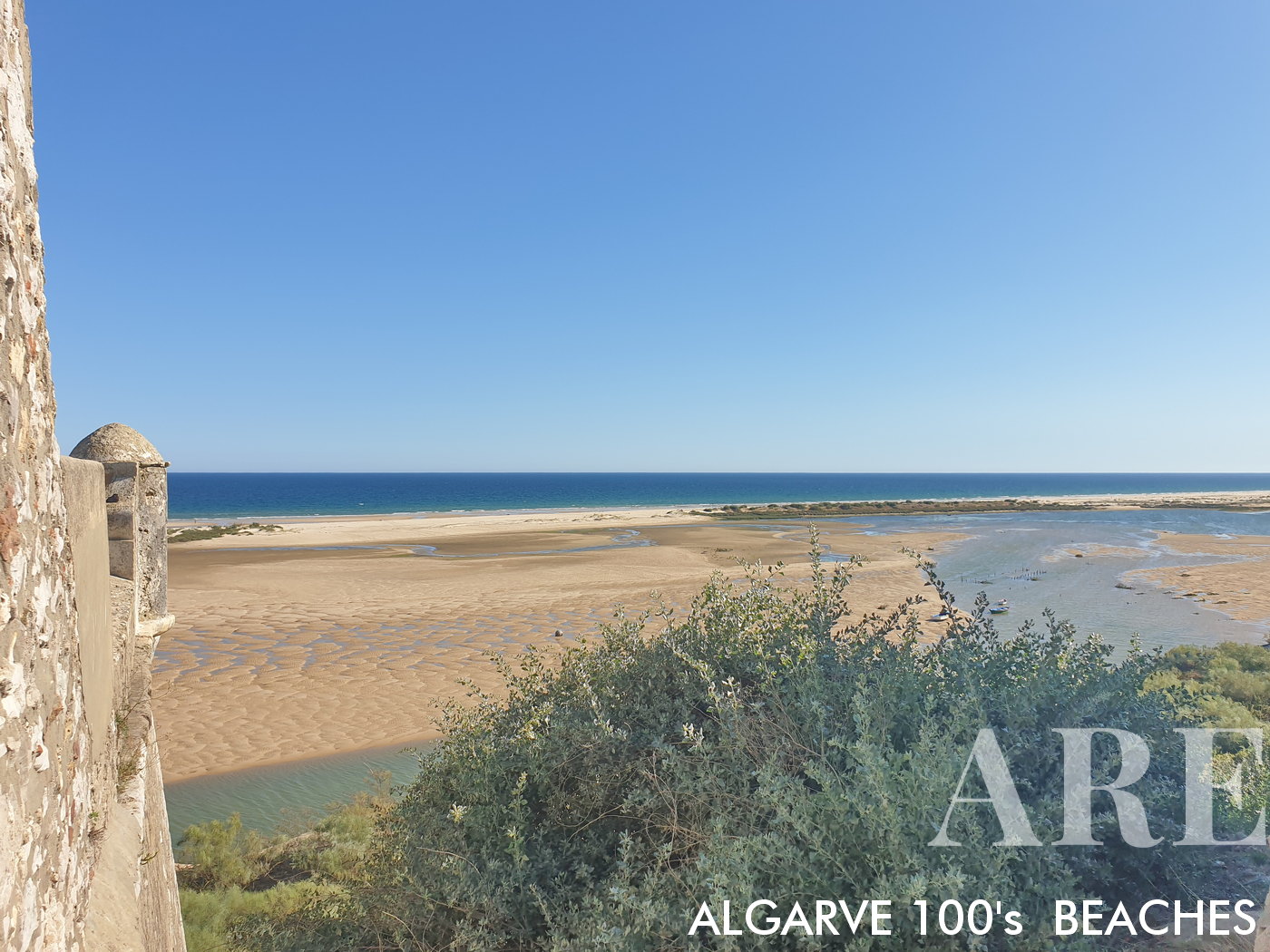
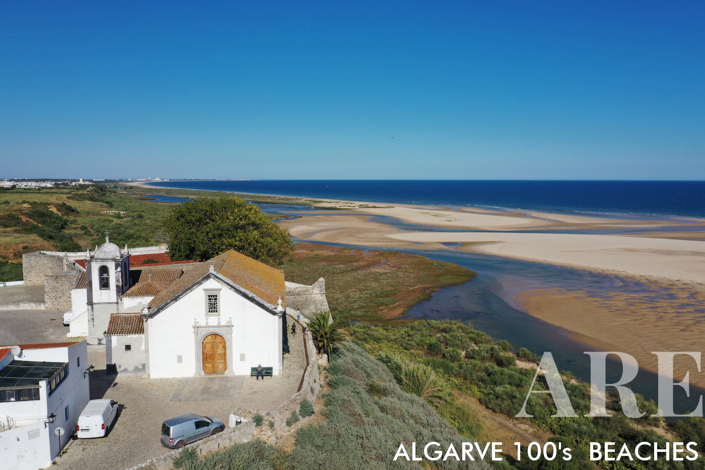
Cacela Velha town and the Fábrica beach

Cacela Velha town and the Fábrica beachCacela Velha charming town located in the picturesque beach, with whitewashed houses and cobbled streets, overlooking the Ria Formosa Natural Park.
  1. see on the map
Cacela Velha Fábrica beach

Cacela Velha Fábrica beach

  1. see on the map
Cacela Velha Fábrica beach

Cacela Velha Fábrica beach

  1. see on the map
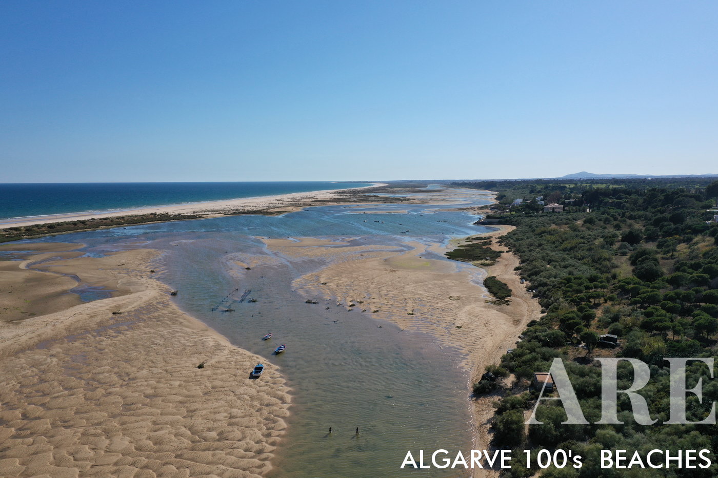
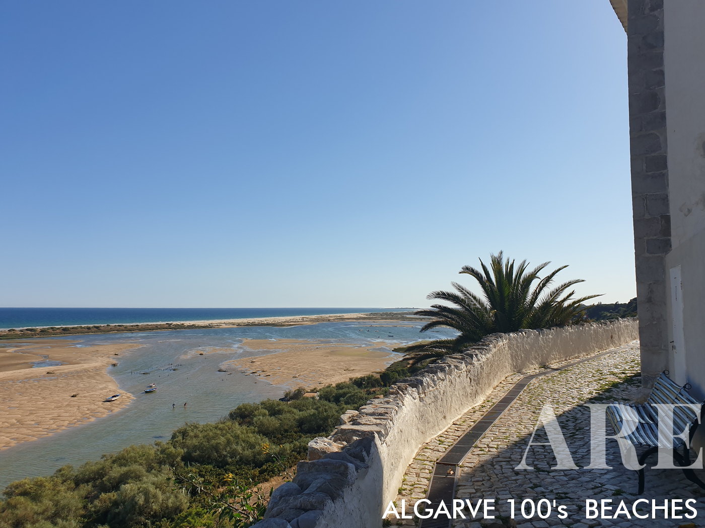
Cacela Velha is separated from the oceanic beach by an inland beach with a salt lagoon in the Ria Formosa, where shellfish gatherers catch bivalves for the local delicacies...

Cacela Velha is separated from the oceanic beach by an inland beach with a salt lagoon in the Ria Formosa, where shellfish gatherers catch bivalves for the local delicacies…
  1. see on the map
Cacela Velha and the Ria Formosa

Cacela Velha and the Ria Formosa

  1. see on the map
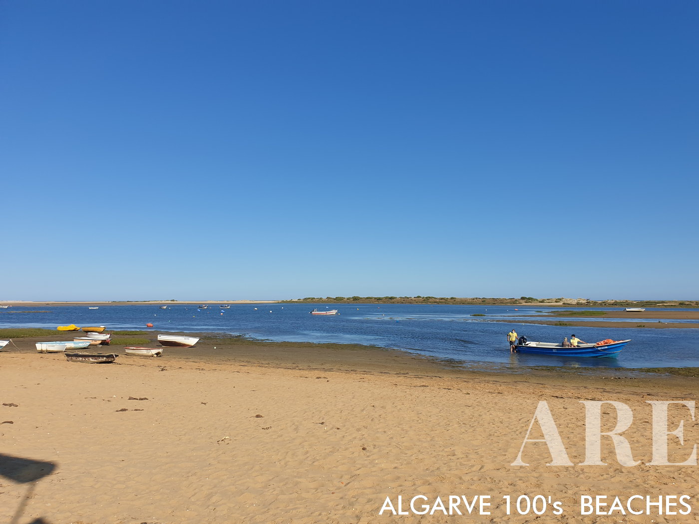
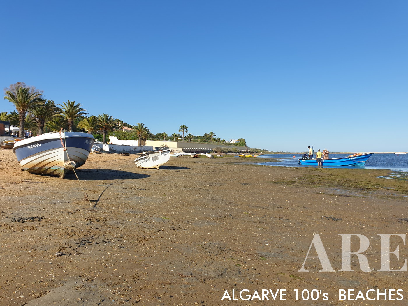
The passage to the beach is done in small traditional boats, for a symbolic payment

The passage to the beach is done in small traditional boats, for a symbolic payment

  1. see on the map
Alagoa Altura beach

Alagoa Altura beach

  1. see on the map
Cabeço beach

Cabeço beach

  1. see on the map
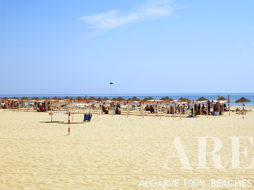
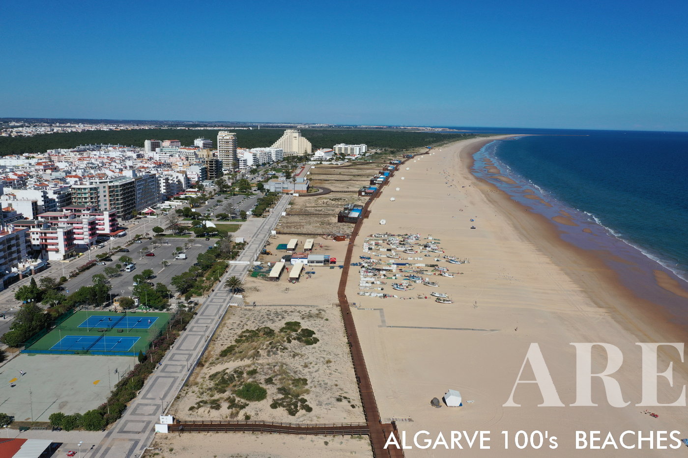
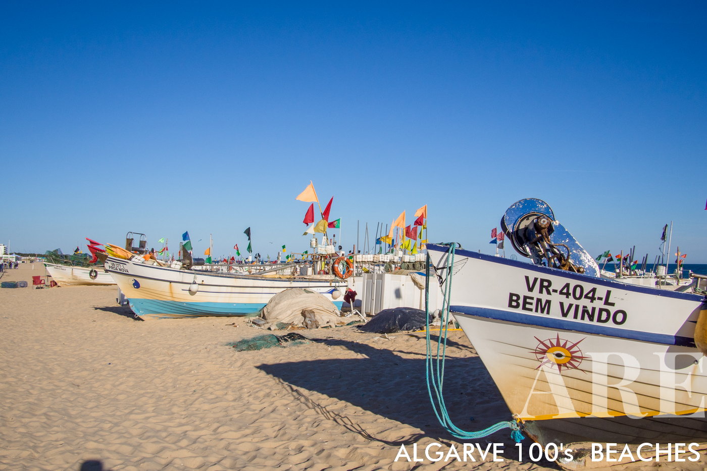
Monte Gordo beach and town aerial view

Monte Gordo beach and town aerial view
A stunning panorama capturing the beauty of Monte Gordo beach and town from an elevated perspective, stretching all the way to the Guadiana River frontier.
  1. see on the map
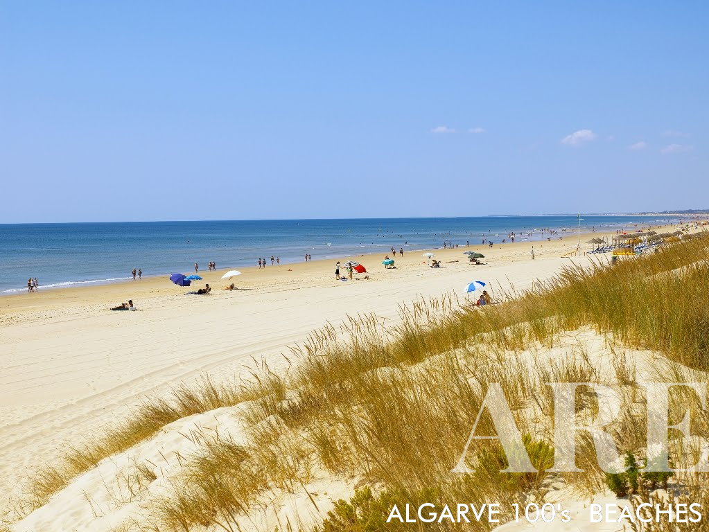
Monte Gordo was initially a small fishing village that gradually transformed into a tourist hub due to its attractive amily-friendly and easily accessible beach, a long stretch of soft, golden sand that extends for approximately 3 kilometers, backed by a system of sand dunes and pine forests, creating a scenic and tranquil environment.
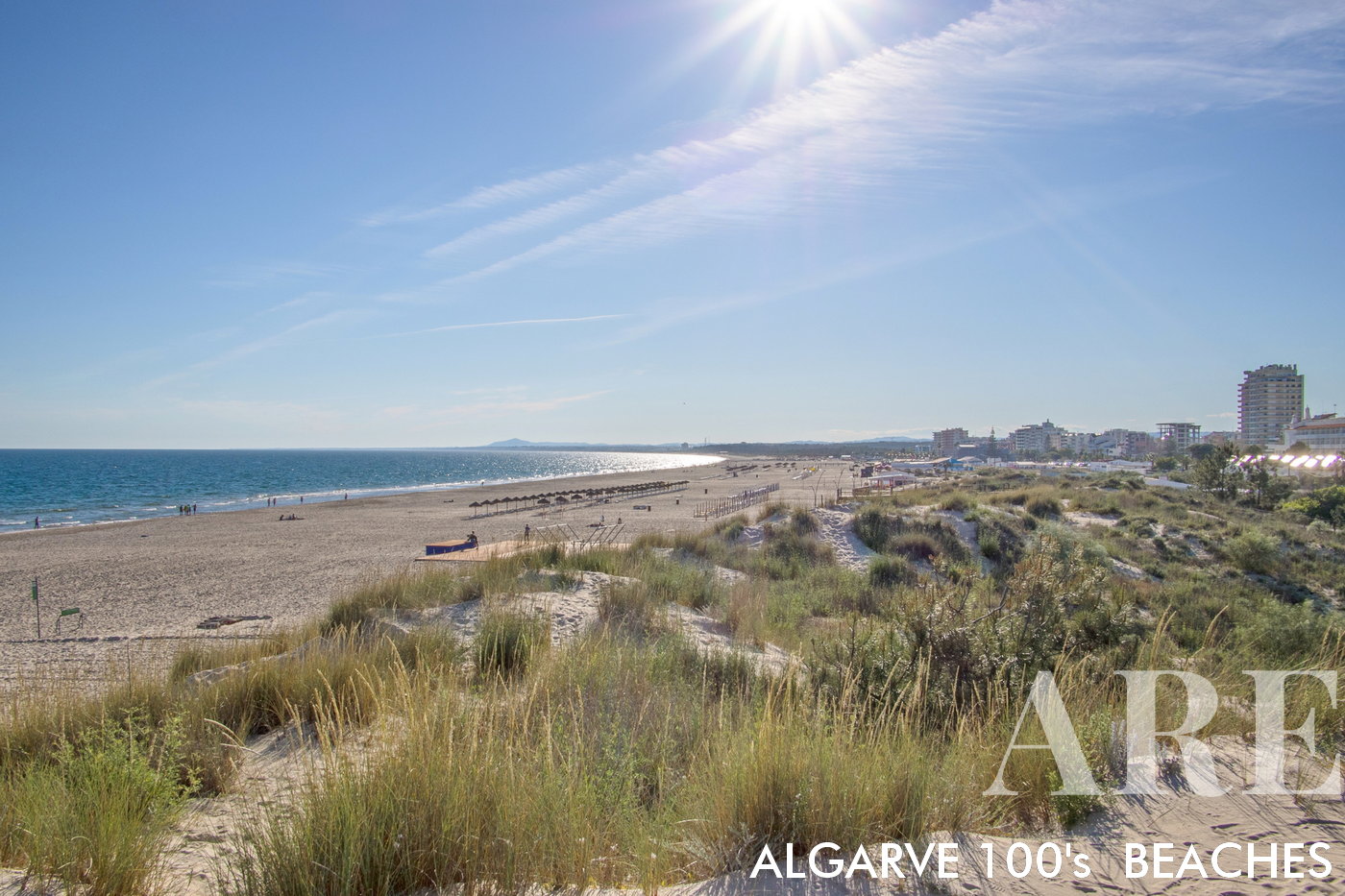
Monte Gordo was initially a small fishing village that gradually transformed into a tourist hub due to its attractive amily-friendly and easily accessible beach, a long stretch of soft, golden sand that extends for approximately 3 kilometers, backed by a system of sand dunes and pine forests, creating a scenic and tranquil environment.

  1. see on the map
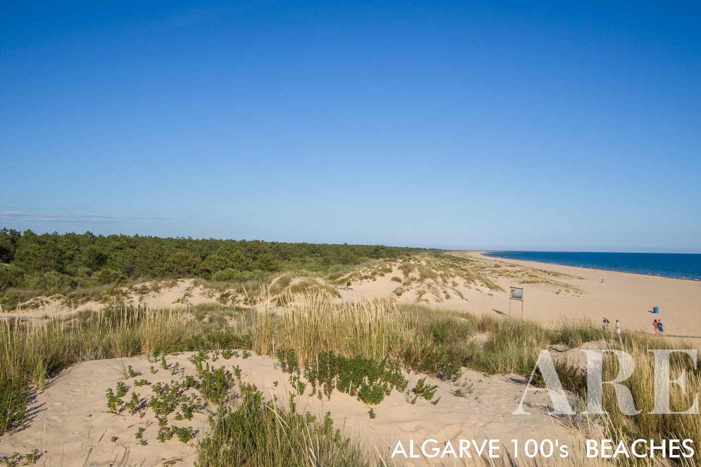
Santo António beach is known for its long stretch of golden sand, just like Monte Gordo beach. The coastline in this area extends to Vila Real de Santo António, located on the banks of the Guadiana River, the natural border between Portugal and the Spanish town of Ayamonte. The beach in Santo António/Monte Gordo is backed by a beautiful pine forest.

Santo António beach is known for its long stretch of golden sand, just like Monte Gordo beach. The coastline in this area extends to Vila Real de Santo António, located on the banks of the Guadiana River, the natural border between Portugal and the Spanish town of Ayamonte. The beach in Santo António/Monte Gordo is backed by a beautiful pine forest.

  1. see on the map
Santo António beach with pine trees framing the golden sandy shoreline.

Santo António beach with pine trees framing the golden sandy shoreline.

Algarve beaches in hundreds of images
Algarve in a Hundred Frames

Algarve beaches in hundreds of images

Breathtaking landscapes and diverse beauty of Algarve, as we present a kaleidoscope of a hundred mesmerizing pictures. From sun-kissed beaches with turquoise waters to rugged cliffs overlooking the Atlantic Ocean, each frame captures the essence of this enchanting region.